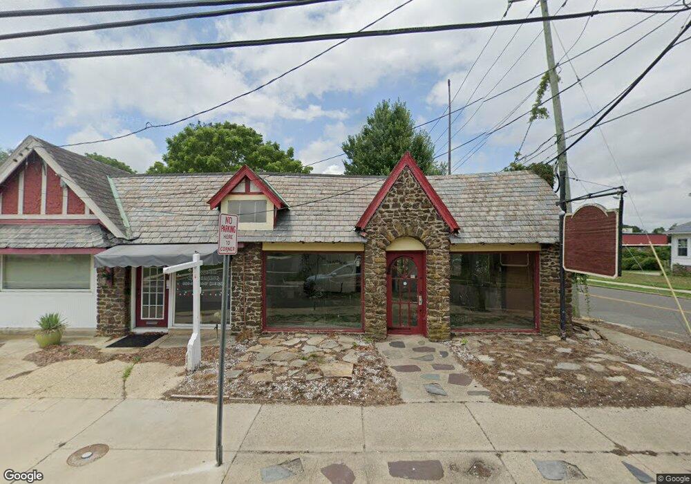
1601 Shore Rd Linwood, NJ 08221
Estimated Value: $190,328
--
Bed
--
Bath
--
Sq Ft
5,619
Sq Ft Lot
About This Home
This home is located at 1601 Shore Rd, Linwood, NJ 08221 and is currently estimated at $190,328. 1601 Shore Rd is a home located in Atlantic County with nearby schools including Seaview Elementary School, Belhaven Middle School, and Mainland Regional High School.
Ownership History
Date
Name
Owned For
Owner Type
Purchase Details
Closed on
Jun 3, 2021
Sold by
Garden State Land Company Llc
Bought by
Jlj Holdings Llc
Current Estimated Value
Purchase Details
Closed on
Dec 28, 2016
Sold by
Hasson Harry
Bought by
1601 Shore Road Llc
Purchase Details
Closed on
Dec 27, 2016
Sold by
Giegerich Thomas A
Bought by
Hasson Harry
Purchase Details
Closed on
Aug 1, 2015
Sold by
Hasson Harry
Bought by
Giegerich Thomas A
Purchase Details
Closed on
Aug 21, 2007
Sold by
Hasson Harry and Hasson Laoma S
Bought by
Hasson Harry
Create a Home Valuation Report for This Property
The Home Valuation Report is an in-depth analysis detailing your home's value as well as a comparison with similar homes in the area
Home Values in the Area
Average Home Value in this Area
Purchase History
| Date | Buyer | Sale Price | Title Company |
|---|---|---|---|
| Jlj Holdings Llc | $125,000 | None Listed On Document | |
| 1601 Shore Road Llc | -- | North American Title Agency | |
| Hasson Harry | -- | None Available | |
| Giegerich Thomas A | -- | Attorney | |
| Hasson Harry | -- | None Available |
Source: Public Records
Tax History Compared to Growth
Tax History
| Year | Tax Paid | Tax Assessment Tax Assessment Total Assessment is a certain percentage of the fair market value that is determined by local assessors to be the total taxable value of land and additions on the property. | Land | Improvement |
|---|---|---|---|---|
| 2025 | $8,507 | $223,000 | $90,300 | $132,700 |
| 2024 | $8,507 | $223,000 | $90,300 | $132,700 |
| 2023 | $8,113 | $223,000 | $90,300 | $132,700 |
| 2022 | $8,113 | $223,000 | $90,300 | $132,700 |
| 2021 | $8,041 | $223,000 | $90,300 | $132,700 |
| 2020 | $7,930 | $223,000 | $90,300 | $132,700 |
| 2019 | $7,760 | $223,000 | $90,300 | $132,700 |
| 2018 | $7,586 | $223,000 | $90,300 | $132,700 |
| 2017 | $7,435 | $223,000 | $90,300 | $132,700 |
| 2016 | $7,185 | $223,000 | $90,300 | $132,700 |
| 2015 | $7,192 | $223,000 | $90,300 | $132,700 |
| 2014 | $6,913 | $223,000 | $90,300 | $132,700 |
Source: Public Records
Map
Nearby Homes
- 1610 Shore Rd
- 103 E Patcong Ave
- 1610 Woodlynne Blvd
- 108 Holly Ln
- 110 E Patcong Ave
- 102 Morris Ave
- 7 Woodstock Dr
- 110 E Seaview Ave
- 208 Balfour Ave
- 214 Belhaven Ave
- 209 Belhaven Ave
- 209 Berkshire Ave
- 1860 Franklin Blvd
- 4 Princeton Ln
- 1201 Woodlynne Blvd
- 1714 New Rd
- 9 Catalina Dr Unit 9
- 10 Sunset Ave
- 105 W Edgewood Ave
- 1050 Shore Rd
- 1607 Shore Rd
- 1611 Shore Rd
- 1603 Shore Rd
- 1545 Shore Rd
- 1613 Shore Rd
- 1550 Shore Rd
- 6 E Patcong Ave
- 1619 Shore Rd
- 25 W Patcong Ave
- 1548 Shore Rd
- 7 E Patcong Ave
- 9 Hamilton Ave
- 27 W Patcong Ave
- 1525 Shore Rd
- 10 E Patcong Ave
- 1612 Shore Rd
- 11 Hamilton Ave
- 4 Hamilton Ave
- 103 W Patcong Ave
- 11 E Patcong Ave