1601 West Rd Ashfield, MA 01330
Ashfield NeighborhoodEstimated Value: $467,000 - $532,000
3
Beds
2
Baths
2,095
Sq Ft
$237/Sq Ft
Est. Value
About This Home
This home is located at 1601 West Rd, Ashfield, MA 01330 and is currently estimated at $496,782, approximately $237 per square foot. 1601 West Rd is a home with nearby schools including Mohawk Trail Regional High School.
Ownership History
Date
Name
Owned For
Owner Type
Purchase Details
Closed on
Mar 3, 2022
Sold by
Wigmore Robert J and Wigmore Mary K
Bought by
Mary K Wigmore Ret
Current Estimated Value
Purchase Details
Closed on
Mar 31, 2015
Sold by
Greenberg Steven R and Rossow Deborah L
Bought by
Wigmore Robert J and Wigmore Mary K
Purchase Details
Closed on
Oct 10, 2007
Sold by
Rollinson Barbara G
Bought by
Rossow Deborah L and Greenberg Steven R
Home Financials for this Owner
Home Financials are based on the most recent Mortgage that was taken out on this home.
Original Mortgage
$340,100
Interest Rate
6.49%
Mortgage Type
Purchase Money Mortgage
Purchase Details
Closed on
Oct 1, 2001
Sold by
Gruelemans Geraldine M
Bought by
Rollinson Barbara G
Create a Home Valuation Report for This Property
The Home Valuation Report is an in-depth analysis detailing your home's value as well as a comparison with similar homes in the area
Home Values in the Area
Average Home Value in this Area
Purchase History
| Date | Buyer | Sale Price | Title Company |
|---|---|---|---|
| Mary K Wigmore Ret | -- | None Available | |
| Wigmore Robert J | $198,000 | -- | |
| Rossow Deborah L | $358,000 | -- | |
| Rollinson Barbara G | $354,000 | -- |
Source: Public Records
Mortgage History
| Date | Status | Borrower | Loan Amount |
|---|---|---|---|
| Previous Owner | Rossow Deborah L | $340,100 | |
| Previous Owner | Rollinson Barbara G | $145,000 |
Source: Public Records
Tax History
| Year | Tax Paid | Tax Assessment Tax Assessment Total Assessment is a certain percentage of the fair market value that is determined by local assessors to be the total taxable value of land and additions on the property. | Land | Improvement |
|---|---|---|---|---|
| 2025 | $5,660 | $420,500 | $100,000 | $320,500 |
| 2024 | $5,743 | $393,100 | $100,000 | $293,100 |
| 2023 | $5,906 | $335,400 | $81,100 | $254,300 |
| 2022 | $5,708 | $328,400 | $77,600 | $250,800 |
| 2021 | $5,149 | $311,100 | $77,600 | $233,500 |
| 2020 | $5,183 | $311,100 | $77,600 | $233,500 |
| 2019 | $5,296 | $308,600 | $75,800 | $232,800 |
| 2018 | $5,302 | $308,600 | $75,800 | $232,800 |
| 2017 | $5,130 | $316,300 | $74,900 | $241,400 |
| 2016 | $4,968 | $302,200 | $74,900 | $227,300 |
| 2015 | $4,826 | $302,200 | $74,900 | $227,300 |
| 2014 | $5,079 | $314,300 | $69,900 | $244,400 |
Source: Public Records
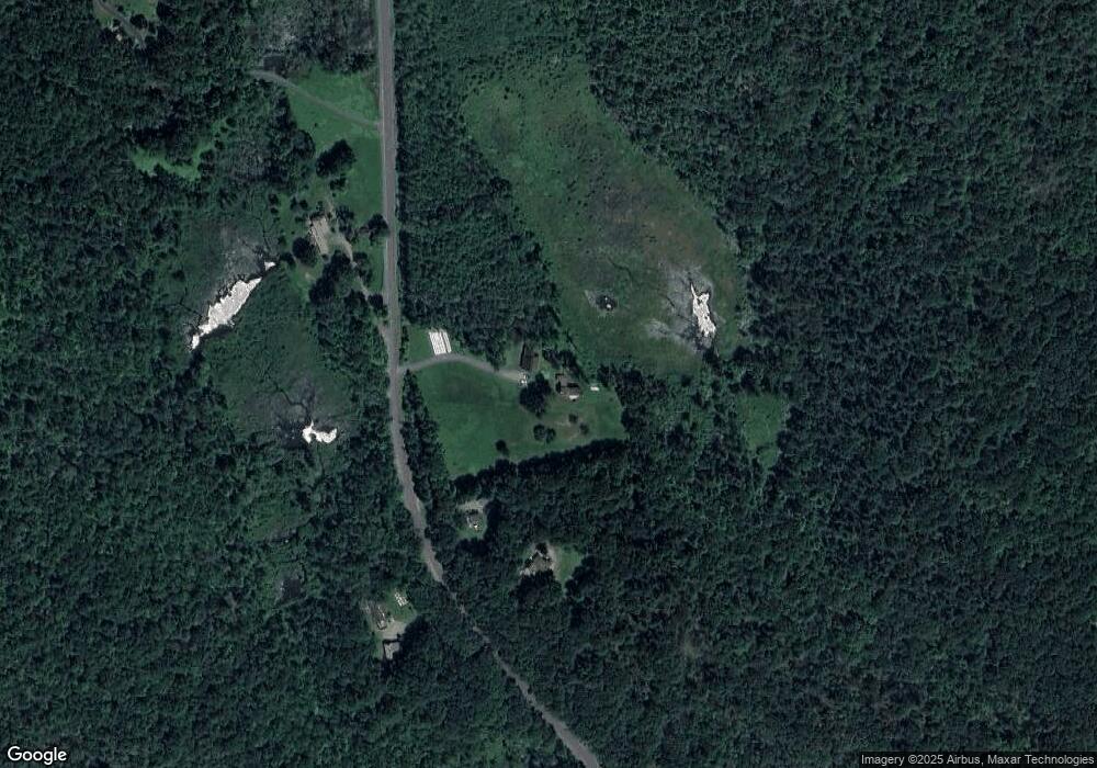
Map
Nearby Homes
- 0 Sears Rd Unit 73373850
- 146 Berkshire Trail W
- 0 Spruce Corner Rd Unit 73244975
- 527 Main St
- 11 S Chesterfield Rd
- 40 Suburban Dr
- 0 Fuller Rd
- 0 John Ford Rd Unit 73403156
- 240 Beldingville Rd
- 333 Ranney Corner Rd
- 311 Cummington Rd
- 220 Hawley Rd
- 86 Ashfield Rd
- 12 Pine Rd
- lot 1 Shelburne Falls Rd
- 85 Dacey Rd
- 31 North Rd
- 63 Sugar Hill Rd
- 5 Clesson Brook Rd
- 6 Williams St
Your Personal Tour Guide
Ask me questions while you tour the home.