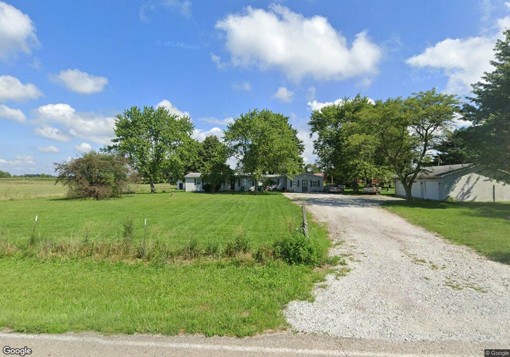
1602 E 1000 N Morristown, IN 46161
Estimated Value: $180,000 - $255,000
3
Beds
1
Bath
1,788
Sq Ft
$123/Sq Ft
Est. Value
About This Home
This home is located at 1602 E 1000 N, Morristown, IN 46161 and is currently estimated at $220,563, approximately $123 per square foot. 1602 E 1000 N is a home located in Shelby County with nearby schools including Morristown Elementary School and Morristown Junior/Senior High School.
Ownership History
Date
Name
Owned For
Owner Type
Purchase Details
Closed on
Apr 3, 2018
Sold by
Knudson Terry and Knudson Jane
Bought by
Viking Property & Land Llc
Current Estimated Value
Home Financials for this Owner
Home Financials are based on the most recent Mortgage that was taken out on this home.
Original Mortgage
$140,000
Outstanding Balance
$78,348
Interest Rate
4.4%
Mortgage Type
Commercial
Estimated Equity
$142,215
Purchase Details
Closed on
Sep 23, 2014
Sold by
Ames Randy
Bought by
Knudson Terry and Knudson Jane
Purchase Details
Closed on
Jun 1, 2012
Sold by
Fannin David L and Fannin Carole S
Bought by
Knudson Terry and Knudson Jane
Purchase Details
Closed on
Feb 21, 2012
Sold by
Gooding Donald L and Gooding Jean R
Bought by
Fannin David L and Fannin Carole S
Purchase Details
Closed on
Jun 15, 2009
Sold by
Milli Nancy E and Milli Louis M
Bought by
Fannin David J and Fannin Carole S
Purchase Details
Closed on
May 26, 2009
Sold by
Fannin David L and Fannin Carole S
Bought by
Gooding Donald L and Gooding Jean R
Create a Home Valuation Report for This Property
The Home Valuation Report is an in-depth analysis detailing your home's value as well as a comparison with similar homes in the area
Purchase History
| Date | Buyer | Sale Price | Title Company |
|---|---|---|---|
| Viking Property & Land Llc | -- | None Available | |
| Knudson Terry | -- | None Available | |
| Knudson Terry | -- | None Available | |
| Fannin David L | -- | None Available | |
| Fannin David J | -- | -- | |
| Gooding Donald L | -- | -- |
Source: Public Records
Mortgage History
| Date | Status | Borrower | Loan Amount |
|---|---|---|---|
| Open | Viking Property & Land Llc | $140,000 |
Source: Public Records
Tax History
| Year | Tax Paid | Tax Assessment Tax Assessment Total Assessment is a certain percentage of the fair market value that is determined by local assessors to be the total taxable value of land and additions on the property. | Land | Improvement |
|---|---|---|---|---|
| 2025 | $1,792 | $115,500 | $29,000 | $86,500 |
| 2024 | $1,792 | $115,500 | $30,700 | $84,800 |
| 2023 | $1,833 | $115,500 | $31,600 | $83,900 |
| 2022 | $1,388 | $86,400 | $23,200 | $63,200 |
| 2021 | $1,453 | $90,400 | $26,100 | $64,300 |
| 2020 | $1,413 | $90,500 | $26,800 | $63,700 |
| 2019 | $1,155 | $74,200 | $23,700 | $50,500 |
| 2018 | $1,134 | $72,200 | $24,500 | $47,700 |
| 2017 | $1,125 | $75,800 | $24,500 | $51,300 |
| 2016 | $1,074 | $77,800 | $24,500 | $53,300 |
| 2014 | $964 | $72,500 | $23,400 | $49,100 |
| 2013 | $964 | $70,300 | $22,800 | $47,500 |
Source: Public Records
Map
Nearby Homes
- 256 E 1000 N
- 2882 E Cottonwood Trail
- 2903 E Freeport Rd
- 10618 N 300 E
- 11131 N State Road 9
- 8825 N 300 E
- 11761 N 100 E
- 0 S 300 East- 2
- 83 E Walnut St
- 956 W 1085 N
- 632 S Washington St
- 657 W Brookville Rd
- 6 U S 52
- 5681 S 500 E
- 5 U S 52
- 5495 E US Highway 52
- 1546 E Osprey Dr
- 3192 E 400 S
- 0 S 50 West S
- 661 W 500 S
- 1634 E 1000 N
- 10132 N 150 E
- 1745 E 1000 N
- 10194 N 150 E
- 0 N 150 E Unit MBR21858635
- 10216 N 150 E
- 10303 N 150 E
- 9749 N 150 E
- 10373 N 150 E
- 2022 E 1000 N
- 2029 E 1000 N
- 2079 E 1000 N
- 1706 E Freeport Rd
- 1155 E 1000 N
- 1156 E 1000 N
- 1574 E Freeport Rd
- 1678 E Freeport Rd
- 1612 E Freeport Rd
- 1102 E 1000 N
- 2147 E 1000 N
Your Personal Tour Guide
Ask me questions while you tour the home.