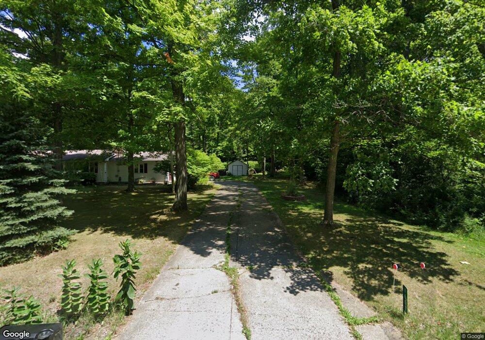
1603 State Route 603 Ashland, OH 44805
Estimated Value: $230,000 - $287,000
3
Beds
2
Baths
1,144
Sq Ft
$221/Sq Ft
Est. Value
About This Home
This home is located at 1603 State Route 603, Ashland, OH 44805 and is currently estimated at $253,242, approximately $221 per square foot. 1603 State Route 603 is a home located in Ashland County with nearby schools including Ashland High School and St. Mary Catholic School.
Ownership History
Date
Name
Owned For
Owner Type
Purchase Details
Closed on
Feb 11, 2011
Sold by
Fortney Gary H
Bought by
Trimble Andrew J and Trimble Tricia A
Current Estimated Value
Purchase Details
Closed on
Aug 31, 2010
Sold by
Rafeld Daniel L
Bought by
Fortney Gary H
Purchase Details
Closed on
Apr 13, 2010
Sold by
Rafeld Daniel L
Bought by
Rafeld Daniel L
Purchase Details
Closed on
Aug 31, 2009
Sold by
Rafeld Paul L and Jane Barbara
Bought by
Rafeld Daniel L
Purchase Details
Closed on
Mar 5, 2008
Bought by
Rafeld Paul L
Purchase Details
Closed on
Jan 1, 1990
Bought by
Rafeld Daniel L
Create a Home Valuation Report for This Property
The Home Valuation Report is an in-depth analysis detailing your home's value as well as a comparison with similar homes in the area
Home Values in the Area
Average Home Value in this Area
Purchase History
| Date | Buyer | Sale Price | Title Company |
|---|---|---|---|
| Trimble Andrew J | $119,000 | -- | |
| Fortney Gary H | $62,000 | -- | |
| Rafeld Daniel L | -- | -- | |
| Rafeld Daniel L | -- | -- | |
| Rafeld Paul L | -- | -- | |
| Rafeld Daniel L | -- | -- |
Source: Public Records
Tax History Compared to Growth
Tax History
| Year | Tax Paid | Tax Assessment Tax Assessment Total Assessment is a certain percentage of the fair market value that is determined by local assessors to be the total taxable value of land and additions on the property. | Land | Improvement |
|---|---|---|---|---|
| 2024 | $2,079 | $56,190 | $9,570 | $46,620 |
| 2023 | $2,079 | $56,190 | $9,570 | $46,620 |
| 2022 | $2,001 | $42,420 | $7,360 | $35,060 |
| 2021 | $2,008 | $42,420 | $7,360 | $35,060 |
| 2020 | $1,909 | $42,420 | $7,360 | $35,060 |
| 2019 | $1,871 | $38,500 | $7,120 | $31,380 |
| 2018 | $1,877 | $38,500 | $7,120 | $31,380 |
| 2017 | $1,724 | $38,500 | $7,120 | $31,380 |
| 2016 | $1,724 | $34,070 | $6,300 | $27,770 |
| 2015 | $1,710 | $34,070 | $6,300 | $27,770 |
| 2013 | $1,578 | $30,760 | $6,470 | $24,290 |
Source: Public Records
Map
Nearby Homes
- 1696 Township Road 1419
- 1767 State Route 603
- 2244 Pavonia North Rd
- 2202 Lakewood Dr
- 2331 Fleming Falls Rd
- 3290 Shad Dr W
- 1170 Township Road 1426
- 1202 County Road 1356
- 1951 Woodmont Rd
- 1997 Hout Rd
- 1439 Township Road 1238
- 775 Touby Ln
- 2495 Emma Ln
- 959 Avalon Dr
- 1910 Crider Rd
- 1706 Kingwood Ct
- 1791 Beal Rd
- 1292 Wolford Rd
- 1171 Hoover Rd
- 1106 Ramsey Dr
- 1603 Ohio 603
- 18 State Route 545 St
- 1606 State Route 603
- 1405 Township Road 1596
- 1607 State Route 603
- 1611 State Route 603
- 1407 Township Road 1596
- 1610 State Route 603
- 1595 State Route 603
- 1411 Township Road 1596
- 1615 State Route 603
- 1408 Township Road 1596
- 1408 1596
- 1413 Township Road 1596
- 1615 Ohio 603
- 1412 Township Road 1596 Unit 1596
- 1589 State Route 603
- 1415 Township Road 1596
- 1616 State Route 603