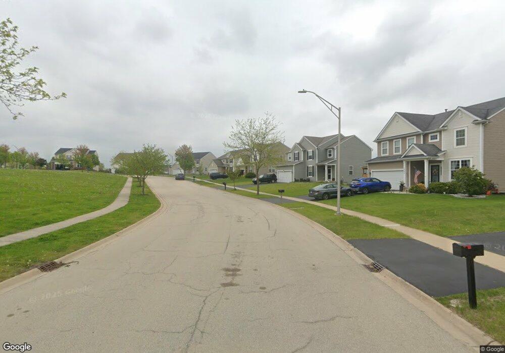
1604 Elysium Dr Minooka, IL 60447
North Minooka NeighborhoodEstimated Value: $369,000 - $401,000
4
Beds
3
Baths
2,267
Sq Ft
$170/Sq Ft
Est. Value
About This Home
This home is located at 1604 Elysium Dr, Minooka, IL 60447 and is currently estimated at $384,956, approximately $169 per square foot. 1604 Elysium Dr is a home located in Kendall County with nearby schools including Jones Elementary School, Minooka Junior High School, and Minooka Intermediate School.
Ownership History
Date
Name
Owned For
Owner Type
Purchase Details
Closed on
Jul 2, 2013
Sold by
Meadows Robert A
Bought by
Morris Christina
Current Estimated Value
Purchase Details
Closed on
Jan 17, 2013
Sold by
Meadows Robert
Bought by
Morris Christina
Purchase Details
Closed on
Jan 1, 2009
Sold by
Centex Homes
Bought by
Meadows Christina and Meadows Robert A
Home Financials for this Owner
Home Financials are based on the most recent Mortgage that was taken out on this home.
Original Mortgage
$188,280
Interest Rate
5.08%
Mortgage Type
FHA
Create a Home Valuation Report for This Property
The Home Valuation Report is an in-depth analysis detailing your home's value as well as a comparison with similar homes in the area
Home Values in the Area
Average Home Value in this Area
Purchase History
| Date | Buyer | Sale Price | Title Company |
|---|---|---|---|
| Morris Christina | -- | None Available | |
| Morris Christina | -- | None Available | |
| Meadows Christina | $191,000 | None Available |
Source: Public Records
Mortgage History
| Date | Status | Borrower | Loan Amount |
|---|---|---|---|
| Previous Owner | Meadows Christina | $188,280 |
Source: Public Records
Tax History
| Year | Tax Paid | Tax Assessment Tax Assessment Total Assessment is a certain percentage of the fair market value that is determined by local assessors to be the total taxable value of land and additions on the property. | Land | Improvement |
|---|---|---|---|---|
| 2024 | $8,693 | $110,538 | $15,425 | $95,113 |
| 2023 | $6,701 | $101,061 | $14,690 | $86,371 |
| 2022 | $6,701 | $84,818 | $13,990 | $70,828 |
| 2021 | $6,566 | $81,056 | $14,203 | $66,853 |
| 2020 | $6,504 | $77,420 | $13,566 | $63,854 |
| 2019 | $6,550 | $76,006 | $13,318 | $62,688 |
| 2018 | $6,328 | $74,348 | $13,027 | $61,321 |
| 2017 | $6,205 | $70,027 | $13,027 | $57,000 |
| 2016 | $5,771 | $65,060 | $12,866 | $52,194 |
| 2015 | $5,494 | $61,744 | $12,210 | $49,534 |
| 2014 | -- | $57,707 | $12,210 | $45,497 |
| 2013 | -- | $57,707 | $12,210 | $45,497 |
Source: Public Records
Map
Nearby Homes
- 1510 Balboa Dr
- 837 Briarcliff Dr
- 1308 Kettleson Dr
- 2050 Isabella Ln
- 194 acres W Holt Rd
- Lot 1 Minooka Ridge & Jones Rd
- 2041 Isabella Ln
- 2200 Holt Rd
- LOT 1 Bob Blair Rd
- 201 W Church St
- 701 Davidson Dr Unit B
- 405 W Mondamin St
- 214 Deerpath Dr
- 204 N Wabasso St
- 1133 Coneflower Ct
- 105 Blackhawk Dr
- 2037 Isabella Ln
- 6010-6060 E Minooka Rd
- 706 O Toole Dr
- 0 County Line Rd
- 1613 Elysium Dr
- 1605 Elysium Dr
- 1608 Balboa Dr
- 1604 Balboa Dr
- 1612 Balboa Dr Unit 2B
- 1617 Elysium Dr
- 1601 Elysium Dr
- 1600 Balboa Dr
- 1616 Balboa Dr
- 1621 Elysium Dr
- 1534 Balboa Dr
- 1531 Elysium Dr
- 1620 Balboa Dr
- 1530 Balboa Dr
- 1615 Balboa Dr
- 1527 Elysium Dr
- 1619 Balboa Dr
- 1611 Balboa Dr
- 1607 Balboa Dr
- 1623 Balboa Dr
Your Personal Tour Guide
Ask me questions while you tour the home.