1604 Lund Rd La Pine, OR 97739
Estimated Value: $324,000 - $372,865
2
Beds
1
Bath
912
Sq Ft
$382/Sq Ft
Est. Value
About This Home
This home is located at 1604 Lund Rd, La Pine, OR 97739 and is currently estimated at $348,433, approximately $382 per square foot. 1604 Lund Rd is a home located in Klamath County with nearby schools including Gilchrist Elementary School and Gilchrist Junior/Senior High School.
Ownership History
Date
Name
Owned For
Owner Type
Purchase Details
Closed on
Oct 2, 2018
Sold by
Hoover Timothy P
Bought by
Alford Matthew Paul and Whittington Micaela E
Current Estimated Value
Home Financials for this Owner
Home Financials are based on the most recent Mortgage that was taken out on this home.
Original Mortgage
$156,565
Outstanding Balance
$135,970
Interest Rate
4.5%
Mortgage Type
New Conventional
Estimated Equity
$212,463
Purchase Details
Closed on
May 19, 2005
Sold by
Burback Garland H and Burback Darlene M
Bought by
Hoover Timothy P
Home Financials for this Owner
Home Financials are based on the most recent Mortgage that was taken out on this home.
Original Mortgage
$100,800
Interest Rate
5.84%
Mortgage Type
New Conventional
Create a Home Valuation Report for This Property
The Home Valuation Report is an in-depth analysis detailing your home's value as well as a comparison with similar homes in the area
Purchase History
| Date | Buyer | Sale Price | Title Company |
|---|---|---|---|
| Alford Matthew Paul | $155,000 | Amerititle | |
| Hoover Timothy P | $112,000 | Western Title And Escrow Co |
Source: Public Records
Mortgage History
| Date | Status | Borrower | Loan Amount |
|---|---|---|---|
| Open | Alford Matthew Paul | $156,565 | |
| Previous Owner | Hoover Timothy P | $100,800 |
Source: Public Records
Tax History
| Year | Tax Paid | Tax Assessment Tax Assessment Total Assessment is a certain percentage of the fair market value that is determined by local assessors to be the total taxable value of land and additions on the property. | Land | Improvement |
|---|---|---|---|---|
| 2025 | $1,526 | $117,600 | -- | -- |
| 2024 | $1,476 | $114,180 | -- | -- |
| 2023 | $1,423 | $114,180 | $0 | $0 |
| 2022 | $1,386 | $107,640 | $0 | $0 |
| 2021 | $1,347 | $104,510 | $0 | $0 |
| 2020 | $1,308 | $101,470 | $0 | $0 |
| 2019 | $1,277 | $98,520 | $0 | $0 |
| 2018 | $1,242 | $95,660 | $0 | $0 |
| 2017 | $1,212 | $92,880 | $0 | $0 |
| 2016 | $1,181 | $90,180 | $0 | $0 |
| 2015 | $1,151 | $87,560 | $0 | $0 |
| 2014 | $1,102 | $85,010 | $0 | $0 |
| 2013 | -- | $82,540 | $0 | $0 |
Source: Public Records
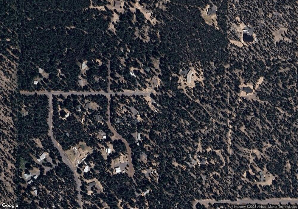
Map
Nearby Homes
- 149218 Auderine Cir
- 1920 Cheryl Dr
- 1225 Hackett Dr
- 0 Hackett Dr Unit 220211794
- 1 Gracies Rd
- 152038 Conestoga Rd
- 152113 Silver Spur Rd
- 152224 Silver Spur Rd
- 1287 Fort Jack Pine Dr
- 652 Chapman St
- 216 Chapman St
- 1018 Chapman St
- 0 Tl 09900 Scabbard Ct Unit 4 220194298
- 0 Tl 09800 Scabbard Ct Unit 5 220194297
- 0 Tl 09300 Buggy Whip Ct Unit 10 220194293
- 0 Tl 10300 Concho Ct Unit 5 220194299
- 0 Tl 09700 Buggy Whip Ct Unit 6 220194296
- 1870 Iron Wheel Ct
- 0 Tl 10600 Concho Ct Unit 2 220194291
- 0 Stirrup Dr Unit Lot 15 220194508