1604 Poplar Dr Red Wing, MN 55066
Estimated Value: $242,364 - $259,000
3
Beds
2
Baths
1,056
Sq Ft
$234/Sq Ft
Est. Value
About This Home
This home is located at 1604 Poplar Dr, Red Wing, MN 55066 and is currently estimated at $247,341, approximately $234 per square foot. 1604 Poplar Dr is a home located in Goodhue County with nearby schools including Sunnyside Elementary School, Burnside Elementary School, and Twin Bluff Middle School.
Ownership History
Date
Name
Owned For
Owner Type
Purchase Details
Closed on
Sep 15, 2009
Sold by
Hayes Shawn W
Bought by
Olson Simon C and Olson Abbigail W
Current Estimated Value
Purchase Details
Closed on
Jul 11, 2008
Sold by
Us Bank Na
Bought by
Hayes Shawn W
Purchase Details
Closed on
Oct 9, 2003
Sold by
Johnson Eric T and Johnson Lori L
Bought by
Anderson Charles O and Anderson Christine L
Create a Home Valuation Report for This Property
The Home Valuation Report is an in-depth analysis detailing your home's value as well as a comparison with similar homes in the area
Home Values in the Area
Average Home Value in this Area
Purchase History
We collect this data history from publicly available records. To have your information removed, we recommend requesting removal directly through your county’s website.
| Date | Buyer | Sale Price | Title Company |
|---|---|---|---|
| Olson Simon C | $122,000 | -- | |
| Hayes Shawn W | $102,000 | -- | |
| Anderson Charles O | $138,000 | -- |
Source: Public Records
Tax History
| Year | Tax Paid | Tax Assessment Tax Assessment Total Assessment is a certain percentage of the fair market value that is determined by local assessors to be the total taxable value of land and additions on the property. | Land | Improvement |
|---|---|---|---|---|
| 2025 | $2,682 | $223,200 | $53,100 | $170,100 |
| 2024 | $2,660 | $219,600 | $53,100 | $166,500 |
| 2023 | $1,339 | $207,400 | $53,100 | $154,300 |
| 2022 | $2,248 | $196,300 | $43,100 | $153,200 |
| 2021 | $2,094 | $168,900 | $43,100 | $125,800 |
| 2020 | $2,076 | $160,900 | $43,100 | $117,800 |
| 2019 | $2,078 | $150,600 | $43,100 | $107,500 |
| 2018 | $1,658 | $152,200 | $41,400 | $110,800 |
| 2017 | $1,608 | $134,600 | $41,400 | $93,200 |
| 2016 | $1,486 | $132,600 | $41,400 | $91,200 |
| 2015 | $1,412 | $129,400 | $41,400 | $88,000 |
| 2014 | -- | $123,600 | $41,400 | $82,200 |
Source: Public Records
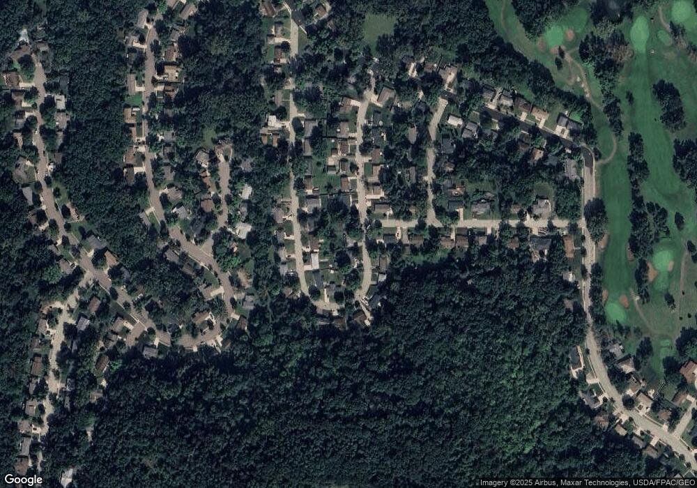
Map
Nearby Homes
- 1617 Poplar Dr
- 1617 Woodland Dr
- 1617 Alvina St
- 1773 Neal St
- 703 Jefferson St
- 1330 Hillside Dr
- 1348 Hillside Dr
- 1978 Neal St
- 1825 Perlich Ave Unit 106
- 1828 Perlich Ave Unit 2B
- 1828 Perlich Ave Unit 2G
- 1606 Reichert Ave
- 1743 Reichert Ave
- 1708 W 5th St
- 1050 Sturtevant St
- 1105 W 4th St
- 818 Hawthorne St
- 1067 Pioneer Rd
- 1746 Old West Main St
- 1020 Pioneer Rd
- 1415 Red Oak Ave
- 1623 Poplar Dr
- 1405 Red Oak Ave
- 1612 Poplar Dr
- 1622 Poplar Dr
- 1629 Poplar Dr
- 1416 Red Oak Ave
- 1406 Red Oak Ave
- 1560 Poplar Dr
- 1353 Red Oak Ave
- 1637 Poplar Dr
- 1613 Birchwood Dr
- 1551 Poplar Dr
- 1605 Birchwood Dr
- 1552 Poplar Dr
- 1347 Red Oak Ave
- 1643 Poplar Dr
- 1585 Birchwood Dr
- 1530 Willow Dr
- 1350 Red Oak Ave
Your Personal Tour Guide
Ask me questions while you tour the home.