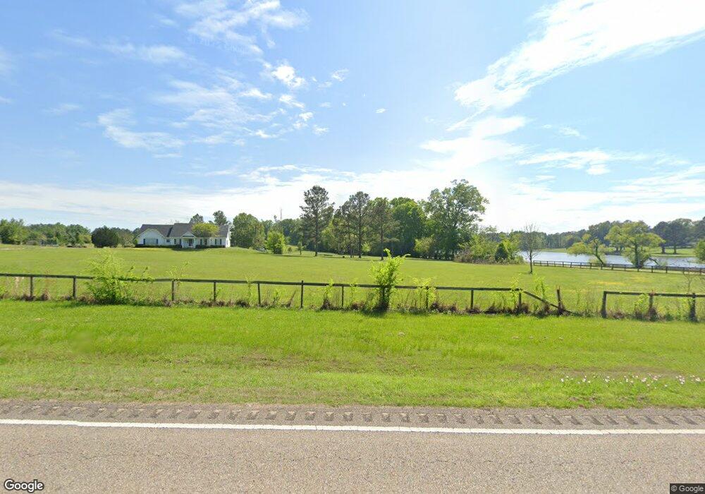
1604 Us Highway 82 Mathews, AL 36052
Estimated Value: $856,034 - $923,000
4
Beds
5
Baths
5,301
Sq Ft
$168/Sq Ft
Est. Value
About This Home
This home is located at 1604 Us Highway 82, Mathews, AL 36052 and is currently estimated at $889,517, approximately $167 per square foot. 1604 Us Highway 82 is a home located in Montgomery County with nearby schools including Blount Elementary School, Johnnie R. Carr Middle School, and Park Crossing High School.
Ownership History
Date
Name
Owned For
Owner Type
Purchase Details
Closed on
Dec 20, 2023
Sold by
Freed Derek W and Freed Michelle
Bought by
Boyd Michael and Boyd Amanda
Current Estimated Value
Home Financials for this Owner
Home Financials are based on the most recent Mortgage that was taken out on this home.
Original Mortgage
$858,749
Outstanding Balance
$844,330
Interest Rate
7.44%
Mortgage Type
VA
Estimated Equity
$45,187
Purchase Details
Closed on
Jul 9, 2003
Sold by
Jackson James D and Jackson Linda D
Bought by
Freed Derek W and Freed Michelle
Create a Home Valuation Report for This Property
The Home Valuation Report is an in-depth analysis detailing your home's value as well as a comparison with similar homes in the area
Home Values in the Area
Average Home Value in this Area
Purchase History
| Date | Buyer | Sale Price | Title Company |
|---|---|---|---|
| Boyd Michael | $1,000,000 | None Listed On Document | |
| Freed Derek W | -- | -- |
Source: Public Records
Mortgage History
| Date | Status | Borrower | Loan Amount |
|---|---|---|---|
| Open | Boyd Michael | $858,749 |
Source: Public Records
Tax History Compared to Growth
Tax History
| Year | Tax Paid | Tax Assessment Tax Assessment Total Assessment is a certain percentage of the fair market value that is determined by local assessors to be the total taxable value of land and additions on the property. | Land | Improvement |
|---|---|---|---|---|
| 2025 | $3,597 | $106,830 | $8,620 | $98,210 |
| 2024 | $3,597 | $88,980 | $7,500 | $81,480 |
| 2023 | $3,597 | $182,480 | $13,120 | $169,360 |
| 2022 | $2,525 | $88,820 | $6,300 | $82,520 |
| 2021 | $2,279 | $80,340 | $0 | $0 |
| 2020 | $2,231 | $78,670 | $11,320 | $67,350 |
| 2019 | $2,455 | $86,370 | $11,990 | $74,380 |
| 2018 | $2,286 | $78,800 | $11,990 | $66,810 |
| 2017 | $1,908 | $135,060 | $27,460 | $107,600 |
| 2014 | $1,916 | $67,810 | $12,570 | $55,240 |
| 2013 | -- | $68,720 | $17,240 | $51,480 |
Source: Public Records
Map
Nearby Homes
- 00 Hayneville Ridge Rd
- 131 Winchester Trace
- 180 Winchester Trace
- 181 Winchester Trace
- 127 Woods N Water Ln
- 130 Winchester Trace
- 1169 Hwy 82
- 25 Edgewood Ct
- 9445 Woodley Rd
- 1037 Woodley Rd
- 1035 Woodley Rd
- 13922 Old Pike Rd
- 11468 Old Pike Rd
- 10901 Old Pike Rd
- 13871 Old Pike Rd
- 686 Pugh Rd
- 411 Pugh Rd
- 0 Pugh Rd Unit 563813
- 10 Highway 82 Hwy
- 1 Highway 82 Hwy
- 1604 Highway 82
- 1798 Us Highway 82
- 1784 Highway 82 Hwy
- 1444 Us Highway 82
- 1446 Us Highway 82
- 2112 Us Highway 82
- 1735 Us Highway 82
- 1735 Us Highway 82
- 2044 Us Highway 82
- 2044 Hwy 82
- 130 Hayneville Ridge Rd
- 428 Hayneville Ridge Rd
- 240 Hayneville Ridge Rd
- 284 Hayneville Ridge Rd
- 2231 Hwy 82
- 1903 Us Highway 82
- 546 Hayneville Ridge Rd
- 259 Hayneville Ridge Rd
- 243 Hayneville Ridge Rd
- 43 Lake Point Dr