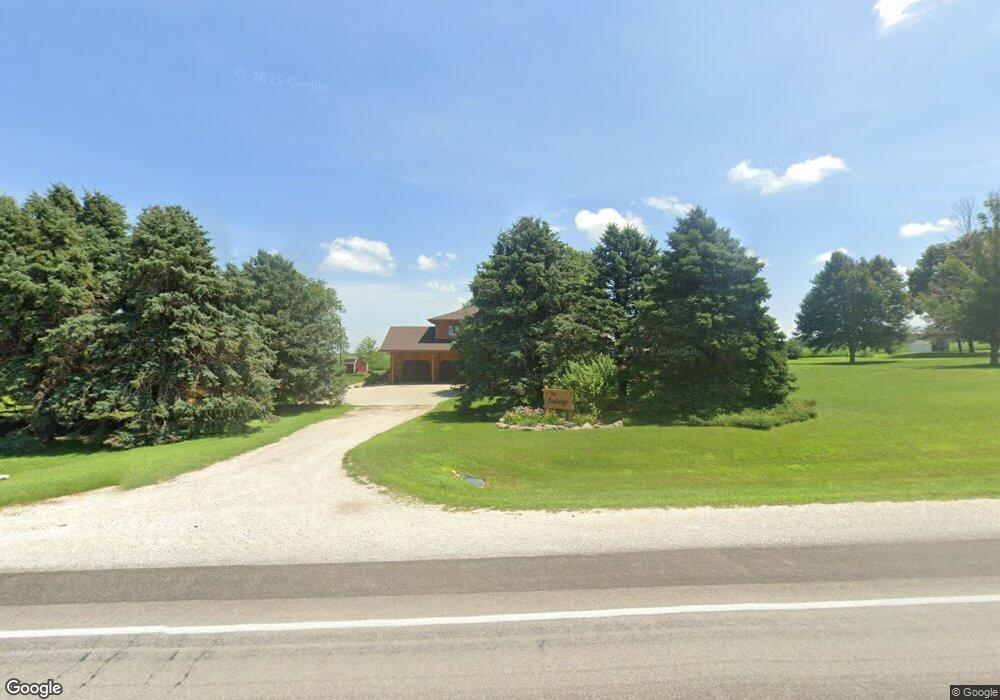
16042 Highway 71 Carroll, IA 51401
Estimated Value: $337,000 - $385,000
3
Beds
1
Bath
1,802
Sq Ft
$200/Sq Ft
Est. Value
About This Home
This home is located at 16042 Highway 71, Carroll, IA 51401 and is currently estimated at $360,279, approximately $199 per square foot. 16042 Highway 71 is a home with nearby schools including Fairview Elementary School, Adams Elementary School, and Carroll Middle School.
Create a Home Valuation Report for This Property
The Home Valuation Report is an in-depth analysis detailing your home's value as well as a comparison with similar homes in the area
Home Values in the Area
Average Home Value in this Area
Tax History Compared to Growth
Tax History
| Year | Tax Paid | Tax Assessment Tax Assessment Total Assessment is a certain percentage of the fair market value that is determined by local assessors to be the total taxable value of land and additions on the property. | Land | Improvement |
|---|---|---|---|---|
| 2025 | $2,486 | $324,250 | $75,350 | $248,900 |
| 2024 | $2,438 | $286,640 | $69,170 | $217,470 |
| 2023 | $2,686 | $286,640 | $69,170 | $217,470 |
| 2022 | $2,504 | $263,690 | $69,170 | $194,520 |
| 2021 | $2,504 | $263,690 | $69,170 | $194,520 |
| 2020 | $2,261 | $226,110 | $34,700 | $191,410 |
| 2019 | $2,300 | $226,110 | $34,700 | $191,410 |
| 2018 | $2,116 | $226,110 | $34,700 | $191,410 |
| 2017 | $2,092 | $223,202 | $31,779 | $191,423 |
| 2016 | $1,934 | $208,600 | $0 | $0 |
| 2015 | $1,934 | $205,180 | $0 | $0 |
| 2014 | $1,868 | $205,180 | $0 | $0 |
Source: Public Records
Map
Nearby Homes
- 0 160th St
- 2340 Skyline Dr
- 711 W 21st St
- 611 W 21st St
- 219 Windwood Dr
- 1852 Quint Ave
- 1810 Crestview Dr
- 631 W 17th St
- 1608 Salinger Ave
- 265 Perch St
- 1601 N Main St
- 1509 Birch St
- 746 Granada Rd
- 1515 N Main St
- 1546 Olive St
- 1306 Simon Ave
- 1320 N Adams St
- 1550 Edgewood Dr
- 0 E 10th St Unit 5423085
- 0 E 10th St Unit 6324630