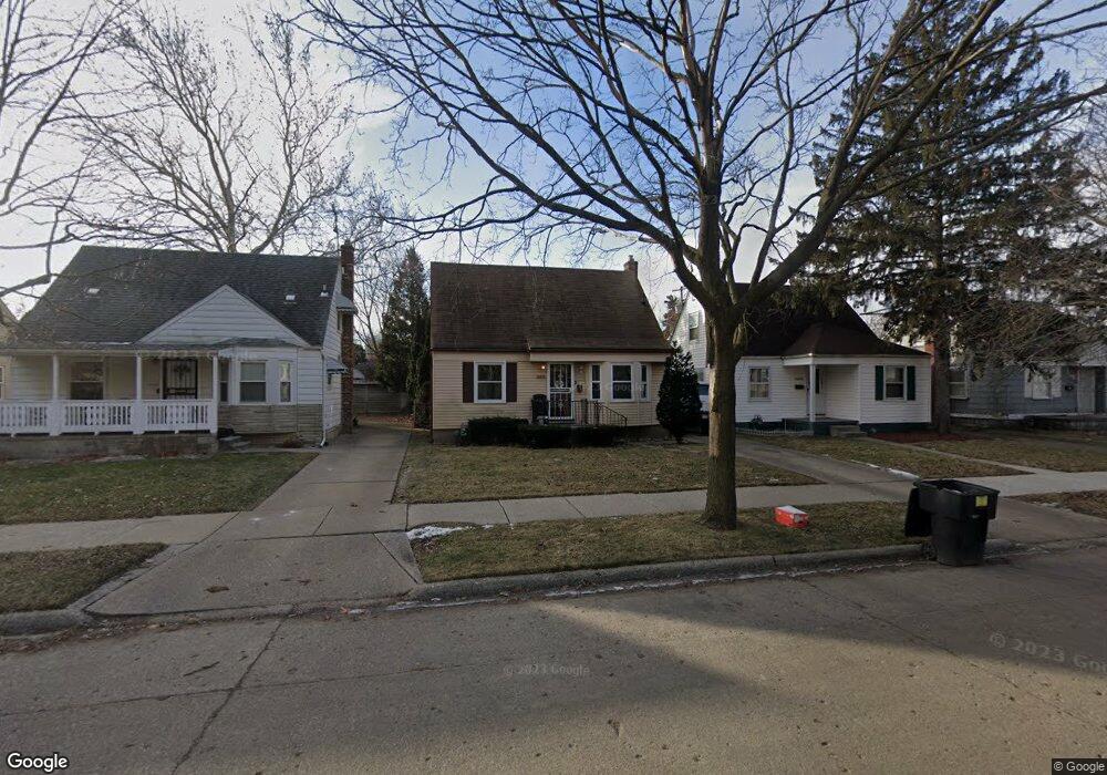
16042 Manning St Detroit, MI 48205
Regent Park NeighborhoodEstimated Value: $58,000 - $79,983
--
Bed
1
Bath
850
Sq Ft
$78/Sq Ft
Est. Value
About This Home
This home is located at 16042 Manning St, Detroit, MI 48205 and is currently estimated at $66,496, approximately $78 per square foot. 16042 Manning St is a home located in Wayne County with nearby schools including Edward 'Duke' Ellington Conservatory of Music and Art, Charles L. Spain Elementary-Middle School, and Denby High School.
Ownership History
Date
Name
Owned For
Owner Type
Purchase Details
Closed on
Jan 6, 2005
Sold by
Patrick Henry Financial Services Inc
Bought by
Jones Latonia
Current Estimated Value
Purchase Details
Closed on
Oct 29, 2004
Sold by
Countrywide Home Loans Inc
Bought by
Patrick Henry Financial Services Inc
Purchase Details
Closed on
Feb 23, 2004
Sold by
Chase Manhattan Mortgage Corp
Bought by
Countrywide Homes Loans
Create a Home Valuation Report for This Property
The Home Valuation Report is an in-depth analysis detailing your home's value as well as a comparison with similar homes in the area
Home Values in the Area
Average Home Value in this Area
Purchase History
| Date | Buyer | Sale Price | Title Company |
|---|---|---|---|
| Jones Latonia | $89,900 | First American Title Ins Co | |
| Patrick Henry Financial Services Inc | $38,000 | Attorneys Title Agency Llc | |
| Countrywide Homes Loans | $5,000 | -- |
Source: Public Records
Tax History Compared to Growth
Tax History
| Year | Tax Paid | Tax Assessment Tax Assessment Total Assessment is a certain percentage of the fair market value that is determined by local assessors to be the total taxable value of land and additions on the property. | Land | Improvement |
|---|---|---|---|---|
| 2025 | $793 | $19,300 | $0 | $0 |
| 2024 | $793 | $19,900 | $0 | $0 |
| 2023 | $768 | $16,200 | $0 | $0 |
| 2022 | $831 | $15,100 | $0 | $0 |
| 2021 | $812 | $10,300 | $0 | $0 |
| 2020 | $805 | $8,800 | $0 | $0 |
| 2019 | $794 | $8,500 | $0 | $0 |
| 2018 | $693 | $7,700 | $0 | $0 |
| 2017 | $159 | $8,400 | $0 | $0 |
| 2016 | $1,125 | $14,700 | $0 | $0 |
| 2015 | $1,470 | $14,700 | $0 | $0 |
| 2013 | $2,040 | $20,396 | $0 | $0 |
| 2010 | -- | $29,904 | $1,066 | $28,838 |
Source: Public Records
Map
Nearby Homes
- 16052 Tacoma St
- 16011 Tacoma St
- 16073 Tacoma St
- 16077 Liberal St
- 16121 Manning St
- 15834 Manning St
- 15850 E State Fair St
- 16100 Liberal St
- 16019 E State Fair St
- 15848 Liberal St
- 15919 E State Fair St
- 16209 Tacoma St
- 15834 Liberal St
- 16221 Liberal St
- 16232 Manning St
- 16235 Tacoma St
- 16216 E State Fair St
- 16236 Liberal St
- 15693 Liberal St
- 16274 Liberal St
- 16034 Manning St
- 16050 Manning St
- 16026 Manning St
- 16058 Manning St
- 16018 Manning St
- 16066 Manning St
- 16045 Liberal St
- 16037 Liberal St
- 16010 Manning St
- 16053 Liberal St
- 16029 Liberal St
- 16074 Manning St
- 16021 Liberal St
- 16061 Liberal St
- 16047 Manning St
- 16035 Manning St
- 16069 Liberal St Unit Bldg-Unit
- 16069 Liberal St
- 16055 Manning St
- 16080 Manning St