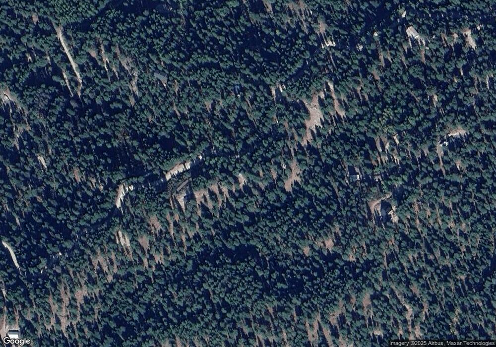
1605 Crown Point Pkwy Cascade, ID 83611
Estimated Value: $385,455 - $428,000
2
Beds
1
Bath
966
Sq Ft
$424/Sq Ft
Est. Value
About This Home
This home is located at 1605 Crown Point Pkwy, Cascade, ID 83611 and is currently estimated at $409,614, approximately $424 per square foot. 1605 Crown Point Pkwy is a home located in Valley County with nearby schools including Cascade Elementary School and Cascade Junior/Senior High School.
Ownership History
Date
Name
Owned For
Owner Type
Purchase Details
Closed on
Aug 9, 2010
Sold by
Bouden Wesley
Bought by
Federal National Mortgage Association
Current Estimated Value
Purchase Details
Closed on
Jan 13, 2010
Sold by
Federal National Mortgage Association
Bought by
Reese Charles Michael
Purchase Details
Closed on
May 15, 2006
Sold by
Pew Nadine
Bought by
Bouden Wesley
Home Financials for this Owner
Home Financials are based on the most recent Mortgage that was taken out on this home.
Original Mortgage
$158,000
Interest Rate
6.41%
Mortgage Type
New Conventional
Create a Home Valuation Report for This Property
The Home Valuation Report is an in-depth analysis detailing your home's value as well as a comparison with similar homes in the area
Home Values in the Area
Average Home Value in this Area
Purchase History
| Date | Buyer | Sale Price | Title Company |
|---|---|---|---|
| Federal National Mortgage Association | $149,666 | -- | |
| Reese Charles Michael | -- | -- | |
| Bouden Wesley | -- | -- |
Source: Public Records
Mortgage History
| Date | Status | Borrower | Loan Amount |
|---|---|---|---|
| Previous Owner | Bouden Wesley | $158,000 |
Source: Public Records
Tax History Compared to Growth
Tax History
| Year | Tax Paid | Tax Assessment Tax Assessment Total Assessment is a certain percentage of the fair market value that is determined by local assessors to be the total taxable value of land and additions on the property. | Land | Improvement |
|---|---|---|---|---|
| 2025 | $895 | $282,795 | $135,797 | $146,998 |
| 2023 | $895 | $313,825 | $173,297 | $140,528 |
| 2022 | $901 | $275,512 | $152,223 | $123,289 |
| 2021 | $915 | $172,674 | $49,440 | $123,234 |
| 2020 | $923 | $147,890 | $58,440 | $89,450 |
| 2019 | $898 | $128,067 | $43,177 | $84,890 |
| 2018 | $888 | $129,165 | $49,750 | $79,415 |
| 2017 | $852 | $125,656 | $46,796 | $78,860 |
| 2016 | $766 | $104,937 | $41,865 | $63,072 |
| 2015 | $720 | $98,737 | $0 | $0 |
| 2013 | -- | $113,524 | $0 | $0 |
Source: Public Records
Map
Nearby Homes
- 1650 Crown Point Pkwy
- 30 Starflower Dr Unit 24
- 3 Osprey Meadow Ct
- 12 Osprey Meadow Ct
- 30 Mountain Air Dr
- 32 Mountain Air Dr
- 1765 Pine Lakes Ranch Dr
- 1483 Pine Lakes Ranch Dr
- 5 Alfalfa Way
- 1510 Crown Point Pkwy
- 1484 Alberta Ct
- 1484 Alberta Ct Unit 18
- 1494 Pine Ridge Dr Unit 3
- 1494 Pine Ridge Dr
- 1496 Pine Ridge Dr
- 39 Stanley Dr
- 39 Stanley Dr Unit 11
- 23 Hall Ln
- TBD Frazier Place Unit 8
- TBD Frazier Place
- 1607 Crown Point Pkwy
- 1599 Crown Point Pkwy
- 27 Starflower Dr Unit 23
- Crown Poin Crown Point #2 Lot 27
- 1610 Crown Point Pkwy Unit 37
- 1610 Crown Point Pkwy
- 1608 Crown Point Pkwy
- TBD Crocus Ct Unit 38
- 4 Crocus Ct Unit 43
- 119 Mountain Air Dr Unit 30
- 119 Mountain Air Dr
- 1 Sunrise Place Unit 20
- 17 Sunrise Place Unit 18
- 17 Sunrise Place
- 1 Sunrise Place
- 6 Sunrise Place
- 18 Sunrise Place
- 3 Crocus Ct Unit 37
- 3 Crocus Ct
- 10 Crocus Ct
