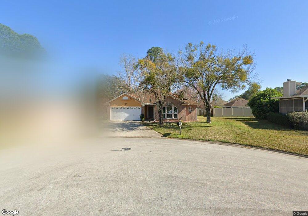
1605 Dockside Dr Fleming Island, FL 32003
Estimated Value: $290,000 - $405,000
3
Beds
2
Baths
1,878
Sq Ft
$185/Sq Ft
Est. Value
About This Home
This home is located at 1605 Dockside Dr, Fleming Island, FL 32003 and is currently estimated at $347,527, approximately $185 per square foot. 1605 Dockside Dr is a home located in Clay County with nearby schools including Robert M. Paterson Elementary School, Fleming Island High School, and Green Cove Springs Junior High School.
Ownership History
Date
Name
Owned For
Owner Type
Purchase Details
Closed on
Dec 6, 2007
Sold by
Warden Christopher J and Warden Alison L
Bought by
Lin Juan
Current Estimated Value
Home Financials for this Owner
Home Financials are based on the most recent Mortgage that was taken out on this home.
Original Mortgage
$133,250
Outstanding Balance
$83,225
Interest Rate
6.22%
Mortgage Type
Purchase Money Mortgage
Estimated Equity
$264,302
Purchase Details
Closed on
Sep 25, 2001
Sold by
Billingsley Jon Eric and Billingsley Teri Mae
Bought by
Warden Christopher J and Warden Alison L
Home Financials for this Owner
Home Financials are based on the most recent Mortgage that was taken out on this home.
Original Mortgage
$137,700
Interest Rate
6.89%
Mortgage Type
VA
Create a Home Valuation Report for This Property
The Home Valuation Report is an in-depth analysis detailing your home's value as well as a comparison with similar homes in the area
Home Values in the Area
Average Home Value in this Area
Purchase History
| Date | Buyer | Sale Price | Title Company |
|---|---|---|---|
| Lin Juan | $205,000 | Attorney | |
| Warden Christopher J | $135,000 | Estate Title & Trust |
Source: Public Records
Mortgage History
| Date | Status | Borrower | Loan Amount |
|---|---|---|---|
| Open | Lin Juan | $133,250 | |
| Previous Owner | Warden Christopher J | $137,700 |
Source: Public Records
Tax History
| Year | Tax Paid | Tax Assessment Tax Assessment Total Assessment is a certain percentage of the fair market value that is determined by local assessors to be the total taxable value of land and additions on the property. | Land | Improvement |
|---|---|---|---|---|
| 2025 | $1,868 | $168,815 | -- | -- |
| 2024 | $2,143 | $164,058 | -- | -- |
| 2023 | $2,143 | $159,280 | $0 | $0 |
| 2022 | $1,963 | $154,641 | $0 | $0 |
| 2021 | $1,954 | $150,137 | $0 | $0 |
| 2020 | $1,891 | $148,065 | $0 | $0 |
| 2019 | $1,861 | $144,737 | $0 | $0 |
| 2018 | $1,704 | $142,038 | $0 | $0 |
| 2017 | $1,692 | $139,117 | $0 | $0 |
| 2016 | $1,687 | $136,256 | $0 | $0 |
| 2015 | $1,735 | $135,309 | $0 | $0 |
| 2014 | $1,691 | $134,235 | $0 | $0 |
Source: Public Records
Map
Nearby Homes
- 1279 Pirates Cove Ln
- 1608 Dockside Dr
- 1028 Creighton Rd
- 1301 Portside Dr
- 1223 Stern Way
- 315 Scenic Point Ln
- 1859 Salt Myrtle Ln
- 2778 Holly Point Rd W
- 1507 Blue Heron Ct
- 1776 Cord Grass Ln
- 2522 Grasshopper Ln
- 1532 Marsh Rabbit Way
- 2528 Shalimar Ln
- 641 Nelson Dr
- 2464 Hopkins St
- 1316 Holmes Landing Dr
- 2324 Laurel Ln
- 1317 S Shore Dr
- 1565 Royal Fern Ln
- 410 Lucys Ln
- 1894 Harbor Island Dr
- 1898 Harbor Island Dr
- 1601 Dockside Dr
- 1281 Pirates Cove Ln
- 1890 Harbor Island Dr
- 1604 Dockside Dr
- 1884 Harbor Island Dr Unit 1
- 1600 Dockside Dr
- 1280 Pirates Cove Ln
- 1880 Harbor Island Dr
- 1612 Dockside Dr
- 1617 Dockside Dr
- 1876 Harbor Island Dr
- 1271 Pirates Cove Ln Unit 1
- 1271 Pirates Cove Ln
- 1891 Harbor Island Dr
- 1276 Pirates Cove Ln
- 1272 Pirates Cove Ln
- 3396 Beulah Vista Ct
- 1887 Harbor Island Dr
Your Personal Tour Guide
Ask me questions while you tour the home.