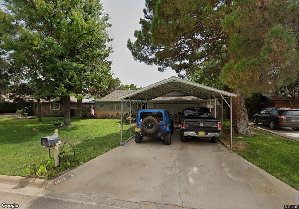
1605 Landsun Dr Carlsbad, NM 88220
Estimated Value: $219,000 - $329,000
--
Bed
--
Bath
1,757
Sq Ft
$155/Sq Ft
Est. Value
About This Home
This home is located at 1605 Landsun Dr, Carlsbad, NM 88220 and is currently estimated at $271,494, approximately $154 per square foot. 1605 Landsun Dr is a home located in Eddy County with nearby schools including Sunset Elementary School, Carlsbad Intermediate School - PR Leyva Campus, and Carlsbad High School.
Ownership History
Date
Name
Owned For
Owner Type
Purchase Details
Closed on
Jun 1, 2011
Sold by
Taylor Lance Edward and Taylor Rhonda Sue
Bought by
Pinson Clinton S
Current Estimated Value
Home Financials for this Owner
Home Financials are based on the most recent Mortgage that was taken out on this home.
Original Mortgage
$174,364
Outstanding Balance
$124,989
Interest Rate
5.5%
Mortgage Type
FHA
Estimated Equity
$145,343
Purchase Details
Closed on
Aug 20, 2009
Sold by
West Marilyn L and Libert Marilyn L
Bought by
Taylor Lance Edward and Taylor Rhonda Sue
Home Financials for this Owner
Home Financials are based on the most recent Mortgage that was taken out on this home.
Original Mortgage
$111,000
Interest Rate
5.16%
Mortgage Type
New Conventional
Create a Home Valuation Report for This Property
The Home Valuation Report is an in-depth analysis detailing your home's value as well as a comparison with similar homes in the area
Home Values in the Area
Average Home Value in this Area
Purchase History
| Date | Buyer | Sale Price | Title Company |
|---|---|---|---|
| Pinson Clinton S | -- | Guaranty Title Co | |
| Taylor Lance Edward | -- | Guaranty Title Co |
Source: Public Records
Mortgage History
| Date | Status | Borrower | Loan Amount |
|---|---|---|---|
| Open | Pinson Clinton S | $174,364 | |
| Previous Owner | Taylor Lance Edward | $111,000 |
Source: Public Records
Tax History Compared to Growth
Tax History
| Year | Tax Paid | Tax Assessment Tax Assessment Total Assessment is a certain percentage of the fair market value that is determined by local assessors to be the total taxable value of land and additions on the property. | Land | Improvement |
|---|---|---|---|---|
| 2025 | $1,420 | $57,098 | $5,717 | $51,381 |
| 2024 | $1,420 | $57,098 | $5,717 | $51,381 |
| 2023 | $1,420 | $57,098 | $5,717 | $51,381 |
| 2022 | $1,409 | $57,098 | $5,717 | $51,381 |
| 2021 | $1,403 | $57,098 | $5,717 | $51,381 |
| 2020 | $30 | $57,098 | $5,717 | $51,381 |
| 2019 | $1,450 | $57,098 | $5,717 | $51,381 |
| 2018 | $1,444 | $57,098 | $5,717 | $51,381 |
| 2017 | $1,477 | $58,834 | $5,912 | $52,922 |
Source: Public Records
Map
Nearby Homes
- 1612 W Thomas St
- 1311 Westridge Rd
- 2200 W Pierce #4 St
- 2200 W Pierce #5c St
- 1303 Chico St
- 2112 Westridge Rd
- 1403 S Country Club Cir
- 2116 Westridge Rd
- 1305 S Country Club Cir
- 1207 W Riverside Dr
- 1812 Manzana Rd
- 1203 S Country Club Cir
- 1017 Walter St
- 2402 Legion St
- 1505 Grant St
- 1308 Gamma Ave
- 2403 Western Way
- 1019 Birch Ln
- 920 Valverde St
- W of 1700 W Riverside Dr
- 1603 Landsun Dr
- 1607 Landsun Dr
- 1609 Landsun Dr
- 1608 W Thomas St
- 1601 Landsun Dr
- 1610 W Thomas St
- 1208 Landsun Dr
- 1206 Landsun Dr
- 1611 Landsun Dr
- 1604 W Thomas St
- 1210 Landsun Dr
- 1607 W Thomas St
- 1609 W Thomas St
- 1809 Westridge Rd
- 1203 Cedar Dr
- 1811 Westridge Rd
- 1611 W Thomas St
- 1603 W Thomas St
- 1212 Landsun Dr
- 1207 Cedar Dr