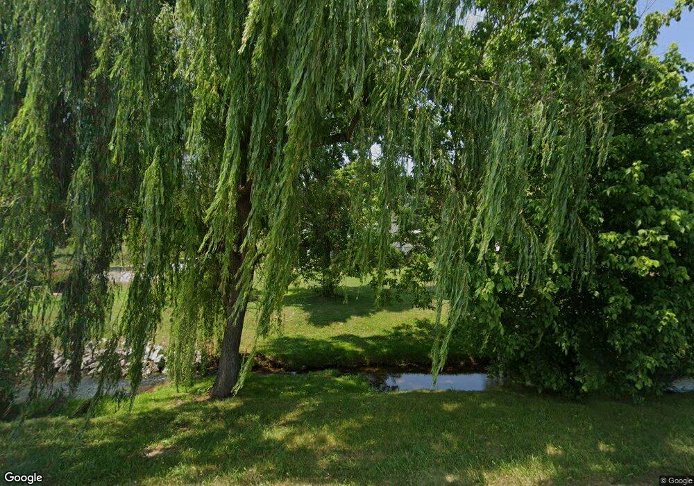
1605 McBrides Branch Rd Beechgrove, TN 37018
Estimated Value: $211,910 - $596,000
--
Bed
1
Bath
2,256
Sq Ft
$182/Sq Ft
Est. Value
About This Home
This home is located at 1605 McBrides Branch Rd, Beechgrove, TN 37018 and is currently estimated at $410,970, approximately $182 per square foot. 1605 McBrides Branch Rd is a home located in Coffee County with nearby schools including North Coffee Elementary School, Coffee County Middle School, and Coffee County Central High School.
Ownership History
Date
Name
Owned For
Owner Type
Purchase Details
Closed on
Jan 29, 2015
Sold by
Anderson Jeffery L
Bought by
Anderson Theresia M and O Jeffery L Ander C
Current Estimated Value
Purchase Details
Closed on
Dec 11, 2014
Sold by
Anderson Wilma J
Bought by
Anderson Jeffery L
Purchase Details
Closed on
Jun 24, 1998
Sold by
Slone Zachary
Bought by
Anderson Family L P
Purchase Details
Closed on
Oct 3, 1988
Purchase Details
Closed on
Sep 14, 1988
Purchase Details
Closed on
Apr 25, 1985
Bought by
Slone Zachary and Slone Shelby
Create a Home Valuation Report for This Property
The Home Valuation Report is an in-depth analysis detailing your home's value as well as a comparison with similar homes in the area
Home Values in the Area
Average Home Value in this Area
Purchase History
| Date | Buyer | Sale Price | Title Company |
|---|---|---|---|
| Anderson Theresia M | -- | -- | |
| Anderson Jeffery L | -- | -- | |
| Anderson Jeffery L | -- | -- | |
| Anderson Wilma J | -- | -- | |
| Anderson Family L P | -- | -- | |
| -- | $20,000 | -- | |
| -- | $39,900 | -- | |
| Slone Zachary | $39,000 | -- |
Source: Public Records
Mortgage History
| Date | Status | Borrower | Loan Amount |
|---|---|---|---|
| Open | Slone Zachary | $44,989 |
Source: Public Records
Tax History Compared to Growth
Tax History
| Year | Tax Paid | Tax Assessment Tax Assessment Total Assessment is a certain percentage of the fair market value that is determined by local assessors to be the total taxable value of land and additions on the property. | Land | Improvement |
|---|---|---|---|---|
| 2024 | $831 | $35,650 | $12,500 | $23,150 |
| 2023 | $831 | $35,650 | $0 | $0 |
| 2022 | $831 | $35,650 | $12,500 | $23,150 |
| 2021 | $739 | $25,200 | $7,500 | $17,700 |
| 2020 | $739 | $25,200 | $7,500 | $17,700 |
| 2019 | $739 | $25,200 | $7,500 | $17,700 |
| 2018 | $732 | $25,200 | $7,500 | $17,700 |
| 2017 | $686 | $21,025 | $6,075 | $14,950 |
| 2016 | $686 | $21,025 | $6,075 | $14,950 |
| 2015 | $527 | $16,150 | $6,075 | $10,075 |
| 2014 | $566 | $17,354 | $0 | $0 |
Source: Public Records
Map
Nearby Homes
- 826 Norton Branch Rd
- 230 Bankshire Rd
- 4C Old U S 41
- 4B Old U S 41
- 4A Old U S 41
- 0 Paul Harrell Rd
- 0 Gossburg Rd Unit RTC3007203
- 0 Gossburg Rd Unit RTC2516931
- 0 Gossburg Rd Unit RTC2516930
- 0 Gossburg Rd Unit RTC2516922
- 426 Fern Gully Ln
- 1959 French Brantley Rd
- 0 Earl Warren Rd
- 5 Earl Warren Rd
- 1 Noah Rd
- 139 Bruce Meadows Dr
- 116 Dandelion Ln
- 750 Walker Rd
- 0 Oneal Hollow Ln
- 15717 Manchester Pike
- 1668 McBrides Branch Rd
- 1674 McBrides Branch Rd
- 1732 McBrides Branch Rd
- 1344 McBrides Branch Rd
- 1272 McBrides Branch Rd
- 1135 McBrides Branch Rd
- 2963 Cole Ridge Rd
- 221 Leighton Trail Rd
- 2122 McBrides Branch Rd
- 1029 McBrides Branch Rd
- 977 McBrides Branch Rd
- 5 McBrides Branch
- 5 McBrides Branch Rd
- 4 McBrides Branch
- 3002 Cole Ridge Rd
- 903 McBrides Branch Rd
- 2774 Cole Ridge Rd
- 2425 McBrides Branch Rd
- 787 McBrides Branch Rd
- 2438 McBrides Branch Rd
