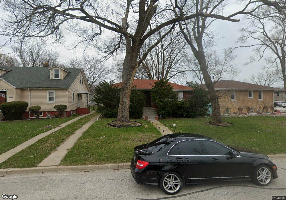
1605 Mcdaniel Ave Evanston, IL 60201
West Evanston NeighborhoodEstimated Value: $313,000 - $391,078
3
Beds
1
Bath
1,000
Sq Ft
$338/Sq Ft
Est. Value
About This Home
This home is located at 1605 Mcdaniel Ave, Evanston, IL 60201 and is currently estimated at $337,520, approximately $337 per square foot. 1605 Mcdaniel Ave is a home located in Cook County with nearby schools including Lincolnwood Elementary School, Haven Middle School, and Evanston Township High School.
Ownership History
Date
Name
Owned For
Owner Type
Purchase Details
Closed on
Aug 31, 2015
Sold by
Guike Fidelis O
Bought by
Oguike Jennifer Wesley and Oguike Isaac
Current Estimated Value
Purchase Details
Closed on
Nov 6, 2001
Sold by
Williams Sally Pearl
Bought by
Oguike Fidelis
Home Financials for this Owner
Home Financials are based on the most recent Mortgage that was taken out on this home.
Original Mortgage
$128,000
Interest Rate
7.11%
Create a Home Valuation Report for This Property
The Home Valuation Report is an in-depth analysis detailing your home's value as well as a comparison with similar homes in the area
Home Values in the Area
Average Home Value in this Area
Purchase History
| Date | Buyer | Sale Price | Title Company |
|---|---|---|---|
| Oguike Jennifer Wesley | -- | None Available | |
| Oguike Fidelis | $160,000 | -- |
Source: Public Records
Mortgage History
| Date | Status | Borrower | Loan Amount |
|---|---|---|---|
| Previous Owner | Oguike Fidelis | $128,000 | |
| Closed | Oguike Fidelis | $24,000 |
Source: Public Records
Tax History
| Year | Tax Paid | Tax Assessment Tax Assessment Total Assessment is a certain percentage of the fair market value that is determined by local assessors to be the total taxable value of land and additions on the property. | Land | Improvement |
|---|---|---|---|---|
| 2025 | $5,576 | $34,000 | $13,175 | $20,825 |
| 2024 | $5,576 | $29,000 | $11,050 | $17,950 |
| 2023 | $5,306 | $29,000 | $11,050 | $17,950 |
| 2022 | $5,306 | $29,000 | $11,050 | $17,950 |
| 2021 | $3,836 | $25,591 | $8,712 | $16,879 |
| 2020 | $3,526 | $25,591 | $8,712 | $16,879 |
| 2019 | $3,488 | $28,341 | $8,712 | $19,629 |
| 2018 | $3,897 | $21,095 | $7,225 | $13,870 |
| 2017 | $3,827 | $21,095 | $7,225 | $13,870 |
| 2016 | $5,113 | $22,702 | $7,225 | $15,477 |
| 2015 | $4,338 | $18,800 | $5,950 | $12,850 |
| 2014 | $5,367 | $22,778 | $5,950 | $16,828 |
| 2013 | $5,228 | $22,778 | $5,950 | $16,828 |
Source: Public Records
Map
Nearby Homes
- 1811 Hartrey Ave
- 1315 Mcdaniel Ave Unit C
- 9200 E Prairie Rd Unit 209A
- 9132 Lincolnwood Dr
- 9337 Lincolnwood Dr
- 1822 Brown Ave
- 9301 Drake Ave
- 8953 Central Park Ave
- 3334 Wilder St
- 1813 Dodge Ave
- 9433 Lincolnwood Dr
- 1710 Lake St
- 1460 Dewey Ave
- 1120 Pitner Ave
- 8822 Central Park Ave
- 9435 Central Park Ave
- 2810 Simpson St
- 8626 Trumbull Ave
- 1213 Darrow Ave
- 1133 Dodge Ave
- 2425 Davis St
- 1609 Mcdaniel Ave
- 1615 Mcdaniel Ave
- 1617 Mcdaniel Ave
- 2424 Davis St
- 1606 Fowler Ave
- 1600 Fowler Ave
- 1610 Fowler Ave
- 1623 Mcdaniel Ave
- 1541 Mcdaniel Ave
- 1614 Fowler Ave
- 1548 Fowler Ave
- 1627 Mcdaniel Ave
- 1546 Fowler Ave
- 1540 Fowler Ave Unit SI ID1305420P
- 1540 Fowler Ave Unit ID1305420P
- 1546 Fowler Ave Unit ID1305420P
- 1540 Fowler Ave
- 1539 Mcdaniel Ave
- 1616 Fowler Ave
Your Personal Tour Guide
Ask me questions while you tour the home.