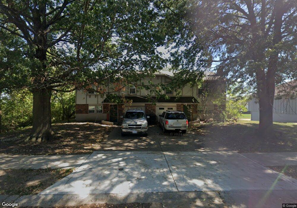
1605 NE White Dr Unit A Lees Summit, MO 64086
Lee's Summit AreaEstimated Value: $265,000 - $340,389
About This Home
This home is located at 1605 NE White Dr Unit A, Lees Summit, MO 64086 and is currently estimated at $312,847, approximately $206 per square foot. 1605 NE White Dr Unit A is a home located in Jackson County with nearby schools including Meadow Lane Elementary School, Bernard C. Campbell Middle School, and Lee's Summit North High School.
Ownership History
We collect this data history from publicly available records. To have your information removed, we recommend requesting removal directly through your county’s website.
Purchase Details
Purchase Details
Home Financials for this Owner
Home Financials are based on the most recent Mortgage that was taken out on this home.Purchase Details
Home Financials for this Owner
Home Financials are based on the most recent Mortgage that was taken out on this home.Purchase Details
Purchase Details
Purchase Details
Purchase Details
Home Values in the Area
Average Home Value in this Area
Purchase History
We collect this data history from publicly available records. To have your information removed, we recommend requesting removal directly through your county’s website.
| Date | Buyer | Sale Price | Title Company |
|---|---|---|---|
| -- | None Listed On Document | ||
| -- | Security 1St Ttl Llc Blue Sp | ||
| -- | Continental Title | ||
| -- | None Available | ||
| $43,735 | First American Title Co | ||
| -- | Ort | ||
| -- | -- |
Mortgage History
We collect this data history from publicly available records. To have your information removed, we recommend requesting removal directly through your county’s website.
| Date | Status | Borrower | Loan Amount |
|---|---|---|---|
| Previous Owner | $129,500 | ||
| Previous Owner | $129,500 |
Tax History
We collect this data history from publicly available records. To have your information removed, we recommend requesting removal directly through your county’s website.
| Year | Tax Paid | Tax Assessment Tax Assessment Total Assessment is a certain percentage of the fair market value that is determined by local assessors to be the total taxable value of land and additions on the property. | Land | Improvement |
|---|---|---|---|---|
| 2025 | $3,570 | $51,445 | $9,470 | $41,975 |
| 2024 | $3,544 | $49,444 | $6,981 | $42,463 |
| 2023 | $3,544 | $49,444 | $5,077 | $44,367 |
| 2022 | $3,160 | $39,140 | $7,771 | $31,369 |
| 2021 | $3,225 | $39,140 | $7,771 | $31,369 |
| 2020 | $2,863 | $34,406 | $7,771 | $26,635 |
| 2019 | $2,785 | $34,406 | $7,771 | $26,635 |
| 2018 | $2,162 | $24,789 | $2,900 | $21,889 |
| 2017 | $2,162 | $24,789 | $2,900 | $21,889 |
| 2016 | $2,129 | $24,168 | $2,660 | $21,508 |
| 2014 | $1,930 | $21,470 | $2,787 | $18,683 |
Map
- 809 NE Mulberry St
- 1708 NE Balboa St
- 1002 NE Cedar St
- 1490 NE Independence Ave
- 724 NE Hunters Ridge
- 700 NE Hunters Ridge
- 1801 NE Abbey Ln
- 1526 NE Florence Ave
- 410 NE Mulberry St
- 1210 NE Richardson Place
- 413 NE Mulberry St
- 1327 NE Depot Dr
- 1144 NE Hunters Ridge
- 1300 NE Browning Ln
- 409 NE Mulberry St
- 405 NE Mulberry St
- 1100 NE Deerbrook Terrace
- 404 NE Mulberry St
- 403 NE Station Dr
- 401 NE Mulberry St
- 1605 NE White Dr
- 1603 NE White Dr Unit A
- 27301 NE Cedar St
- 27315 NE Cedar St
- 27307 NE Cedar St
- 1611 NE White Dr Unit A
- 821 NE Cedar St
- 1601 NE White Dr Unit A
- 818 NE Chestnut St
- 819 NE Cedar St
- 1615 NE White Dr
- 1515 NE White Dr Unit A
- 1515 NE White Dr
- 816 NE Chestnut St
- 816 NE Cedar St
- 817 NE Cedar St
- 1511 NE White Dr Unit A
- 1700 NE White Dr
- 821 NE Chestnut St
- 1701 NE White Dr Unit A
Ask me questions while you tour the home.