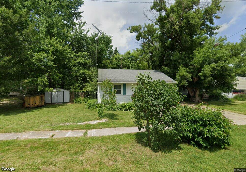
1605 Newcombe St Flint, MI 48506
Thrift City NeighborhoodEstimated Value: $48,852 - $67,000
2
Beds
1
Bath
735
Sq Ft
$74/Sq Ft
Est. Value
About This Home
This home is located at 1605 Newcombe St, Flint, MI 48506 and is currently estimated at $54,713, approximately $74 per square foot. 1605 Newcombe St is a home located in Genesee County with nearby schools including Potter School, Richfield Public School Academy, and Flex High Burton.
Ownership History
Date
Name
Owned For
Owner Type
Purchase Details
Closed on
Jan 4, 2013
Sold by
Smith Donald W
Bought by
Williams Roger Stevens and Williams Nancy Margret
Current Estimated Value
Purchase Details
Closed on
Apr 1, 2011
Sold by
Donovan Shaun and Federal Housing Commissioner
Bought by
Smith Donald W
Purchase Details
Closed on
Jun 15, 2009
Sold by
Michigan State Housing Development Autho
Bought by
The Secretary Of Housing & Urban Develop
Purchase Details
Closed on
May 13, 2009
Sold by
Brasseur Gary
Bought by
Michigan State Housing Development Autho
Create a Home Valuation Report for This Property
The Home Valuation Report is an in-depth analysis detailing your home's value as well as a comparison with similar homes in the area
Home Values in the Area
Average Home Value in this Area
Purchase History
| Date | Buyer | Sale Price | Title Company |
|---|---|---|---|
| Williams Roger Stevens | $500 | None Available | |
| Smith Donald W | $3,121 | None Available | |
| The Secretary Of Housing & Urban Develop | -- | None Available | |
| Michigan State Housing Development Autho | $31,911 | None Available |
Source: Public Records
Tax History
| Year | Tax Paid | Tax Assessment Tax Assessment Total Assessment is a certain percentage of the fair market value that is determined by local assessors to be the total taxable value of land and additions on the property. | Land | Improvement |
|---|---|---|---|---|
| 2025 | $852 | $17,100 | $0 | $0 |
| 2024 | $795 | $16,900 | $0 | $0 |
| 2023 | $783 | $15,100 | $0 | $0 |
| 2022 | $0 | $11,800 | $0 | $0 |
| 2021 | $790 | $10,500 | $0 | $0 |
| 2020 | $734 | $10,300 | $0 | $0 |
| 2019 | $722 | $9,700 | $0 | $0 |
| 2018 | $697 | $8,200 | $0 | $0 |
| 2017 | $681 | $0 | $0 | $0 |
| 2016 | $677 | $0 | $0 | $0 |
| 2015 | -- | $0 | $0 | $0 |
| 2014 | -- | $0 | $0 | $0 |
| 2012 | -- | $9,000 | $0 | $0 |
Source: Public Records
Map
Nearby Homes
- 3421 Brewster St
- 3740 Ivanhoe Ave
- 3739 Marmion Ave
- 3806 Pitkin Ave
- 3614 Holly Ave
- 3232 Dale Ave
- 3813 Holly Ave
- 3213 Holly Ave
- 2002 Branch Rd
- 3822 Whittier Ave
- 3149 Whittier Ave
- 2146 N Center Rd
- 3814 Beechwood Ave
- 4065 Jefferson St
- 3602 Dakota Ave
- 4067 Jefferson St
- 3314 Dakota Ave
- 2274 N Center Rd
- 3413 Dakota Ave
- 2701 Branch Rd
- 3513 Pitkin Ave
- 1613 Newcombe St
- 3509 Pitkin Ave
- 3601 Pitkin Ave
- 1617 Newcombe St
- 3505 Pitkin Ave
- 1718 Dorothy Dr
- 1621 Newcombe St
- 3607 Pitkin Ave
- 3501 Pitkin Ave
- 3514 Pitkin Ave
- 3520 Pitkin Ave
- 3611 Pitkin Ave
- 3508 Pitkin Ave
- 3602 Pitkin Ave
- 1724 Dorothy Dr
- 1705 Newcombe St
- 1620 Newcombe St
- 3606 Pitkin Ave
- 1616 Newcombe St
Your Personal Tour Guide
Ask me questions while you tour the home.