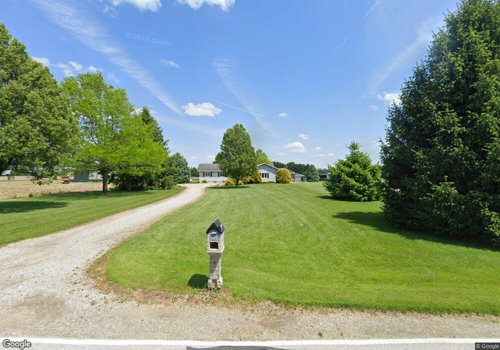
16056 Range Line Rd Weston, OH 43569
Estimated Value: $329,000 - $377,000
3
Beds
3
Baths
1,676
Sq Ft
$210/Sq Ft
Est. Value
About This Home
This home is located at 16056 Range Line Rd, Weston, OH 43569 and is currently estimated at $352,489, approximately $210 per square foot. 16056 Range Line Rd is a home located in Wood County with nearby schools including Otsego Elementary School, Otsego Junior High School, and Otsego High School.
Ownership History
Date
Name
Owned For
Owner Type
Purchase Details
Closed on
Mar 1, 2022
Sold by
Smith Scott and Smith Amy
Bought by
Smith Scott
Current Estimated Value
Home Financials for this Owner
Home Financials are based on the most recent Mortgage that was taken out on this home.
Original Mortgage
$191,200
Outstanding Balance
$178,173
Interest Rate
3.69%
Mortgage Type
New Conventional
Estimated Equity
$174,316
Purchase Details
Closed on
Oct 15, 2020
Sold by
Wise Joshua A
Bought by
Smith Edward C and Smith Mary F
Home Financials for this Owner
Home Financials are based on the most recent Mortgage that was taken out on this home.
Original Mortgage
$191,000
Interest Rate
2.9%
Mortgage Type
New Conventional
Purchase Details
Closed on
Jan 9, 1992
Bought by
Infante Alicia A
Create a Home Valuation Report for This Property
The Home Valuation Report is an in-depth analysis detailing your home's value as well as a comparison with similar homes in the area
Home Values in the Area
Average Home Value in this Area
Purchase History
| Date | Buyer | Sale Price | Title Company |
|---|---|---|---|
| Smith Scott | -- | None Listed On Document | |
| Smith Edward C | $115,000 | Louisville Title Agency | |
| Infante Alicia A | $10,000 | -- |
Source: Public Records
Mortgage History
| Date | Status | Borrower | Loan Amount |
|---|---|---|---|
| Open | Smith Scott | $191,200 | |
| Previous Owner | Smith Edward C | $191,000 |
Source: Public Records
Tax History Compared to Growth
Tax History
| Year | Tax Paid | Tax Assessment Tax Assessment Total Assessment is a certain percentage of the fair market value that is determined by local assessors to be the total taxable value of land and additions on the property. | Land | Improvement |
|---|---|---|---|---|
| 2024 | $3,932 | $95,830 | $12,880 | $82,950 |
| 2023 | $3,932 | $95,830 | $12,880 | $82,950 |
| 2021 | $3,498 | $77,320 | $11,100 | $66,220 |
| 2020 | $3,515 | $77,320 | $11,100 | $66,220 |
| 2019 | $3,078 | $65,770 | $11,030 | $54,740 |
| 2018 | $3,039 | $65,770 | $11,030 | $54,740 |
| 2017 | $2,614 | $65,770 | $11,030 | $54,740 |
| 2016 | $2,593 | $59,190 | $8,580 | $50,610 |
| 2015 | $2,593 | $53,140 | $8,580 | $44,560 |
| 2014 | $2,232 | $53,140 | $8,580 | $44,560 |
| 2013 | $2,446 | $53,140 | $8,580 | $44,560 |
Source: Public Records
Map
Nearby Homes
- 15722 Range Line Rd
- 19393 U S 6
- 0 Otsego Pike Unit 6136991
- 17267 Reams Rd
- 19330 Tuller Rd
- 0 Kellogg Rd Unit 6125521
- 17884 Euler Rd
- 16920 Long Judson Rd
- 16896 Long Judson Rd
- 18555 Crom St
- 0 Scott Rd
- 15791 Liberty Hi Rd
- 20391 Brown Ln
- 20210 Oak St
- 13460 Ash St
- 22888 Wintergreen Rd
- 20310 Taylor St
- 14486 Liberty Hi Rd
- 20750 Sycamore St
- 22327 U S 6