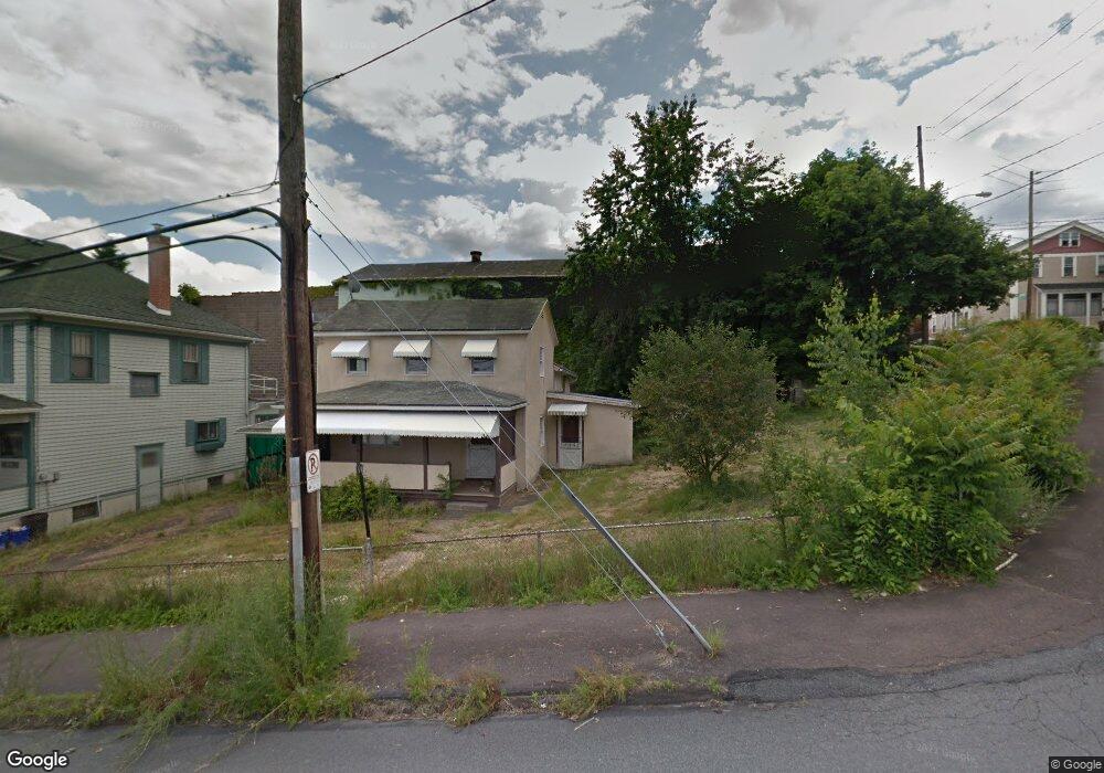
1606 Ash St Scranton, PA 18510
Hill Section NeighborhoodEstimated Value: $132,000
3
Beds
--
Bath
1,200
Sq Ft
$110/Sq Ft
Est. Value
About This Home
This home is located at 1606 Ash St, Scranton, PA 18510 and is currently estimated at $132,000, approximately $110 per square foot. 1606 Ash St is a home located in Lackawanna County with nearby schools including William Prescott School, Northeast Scranton Intermediate School, and Scranton High School.
Ownership History
Date
Name
Owned For
Owner Type
Purchase Details
Closed on
Sep 11, 2014
Sold by
Witriol Alex and Witriol Rivkie
Bought by
Atr Properties Llc
Current Estimated Value
Home Financials for this Owner
Home Financials are based on the most recent Mortgage that was taken out on this home.
Original Mortgage
$800,000
Outstanding Balance
$305,191
Interest Rate
4.14%
Mortgage Type
Commercial
Estimated Equity
-$173,191
Purchase Details
Closed on
Nov 17, 2005
Sold by
Witriol Alex and Witriol Rivkie
Bought by
Atr Properties
Create a Home Valuation Report for This Property
The Home Valuation Report is an in-depth analysis detailing your home's value as well as a comparison with similar homes in the area
Home Values in the Area
Average Home Value in this Area
Purchase History
| Date | Buyer | Sale Price | Title Company |
|---|---|---|---|
| Atr Properties Llc | $3,224 | None Available | |
| Atr Properties | $3,224 | None Available | |
| Witriol Alex | -- | None Available |
Source: Public Records
Mortgage History
| Date | Status | Borrower | Loan Amount |
|---|---|---|---|
| Open | Atr Properties Llc | $800,000 |
Source: Public Records
Tax History
| Year | Tax Paid | Tax Assessment Tax Assessment Total Assessment is a certain percentage of the fair market value that is determined by local assessors to be the total taxable value of land and additions on the property. | Land | Improvement |
|---|---|---|---|---|
| 2025 | $1,583 | $3,250 | $3,250 | $0 |
| 2024 | $1,482 | $3,250 | $3,250 | $0 |
| 2023 | $1,482 | $3,250 | $3,250 | $0 |
| 2022 | $1,451 | $3,250 | $3,250 | $0 |
| 2021 | $1,451 | $3,250 | $3,250 | $0 |
| 2020 | $1,433 | $3,250 | $3,250 | $0 |
| 2019 | $1,360 | $3,250 | $3,250 | $0 |
| 2018 | $1,360 | $3,250 | $3,250 | $0 |
| 2017 | $1,345 | $3,250 | $3,250 | $0 |
| 2016 | $756 | $3,250 | $3,250 | $0 |
| 2015 | $1,653 | $3,250 | $3,250 | $0 |
| 2014 | -- | $6,500 | $3,250 | $3,250 |
Source: Public Records
Map
Nearby Homes
- 1017 Prescott Ave
- 1406 Ash St
- 1050 Prescott Ave
- 1042 Taylor Ave
- 1018 N Webster Ave
- 917 Taylor Ave
- 2211 Ash St
- 1014 1016 Quincy Ave
- 810 Wheeler Ave
- 1017 Quincy Ave
- 627 S Blakely St
- 0 Colfax and Gibson Ave Unit GSBSC255175
- 825 827 Quincy Ave Unit 825-827
- 640 S 642 S Blakely St
- 1318 Pine St
- 819 Poplar St
- 1210 Monroe Ave
- 1947 Myrtle St
- 7 Oakwood Place
- 616-618 Harrison Ave
- 970 Ridge Ave
- 970 Ridge Ave Unit 3
- 970 Ridge Ave Unit 9
- 970 Ridge Ave Unit 6
- 970 Ridge Ave Unit 10
- 970 Ridge Ave
- 944 Ridge Ave
- 1610 Ash St
- 1714 Ash St
- 968 Ridge Ave
- 1611 Ash St
- 0 Ash Unit 7679468-11450434
- 1004 Ridge Ave
- 1616 Ash St
- 1005 Ridge Ave
- 1001 Ridge Ave
- 966 Ridge Ave Unit 966 Ridge Ave
- 966 Ridge Ave
- 1006 Ridge Ave
- 1620 Ash St
Your Personal Tour Guide
Ask me questions while you tour the home.