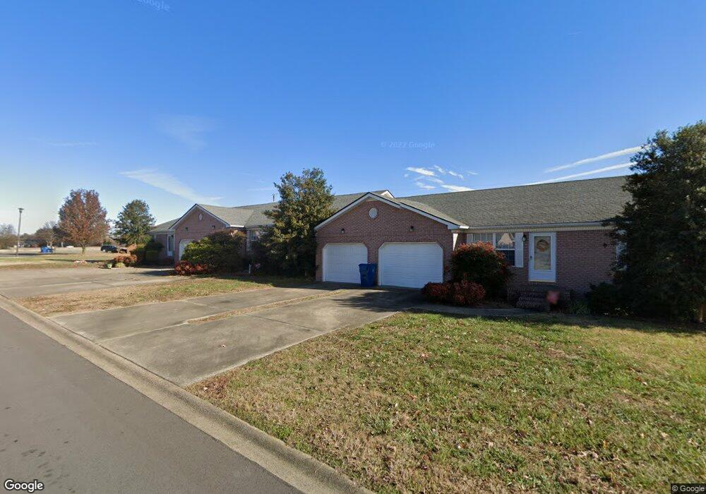
1606 Bourland Ln Murray, KY 42071
Estimated Value: $245,000 - $376,000
2
Beds
--
Bath
4,381
Sq Ft
$71/Sq Ft
Est. Value
About This Home
This home is located at 1606 Bourland Ln, Murray, KY 42071 and is currently estimated at $310,500, approximately $70 per square foot. 1606 Bourland Ln is a home located in Calloway County with nearby schools including Murray Elementary School, Murray Middle School, and Murray High School.
Ownership History
Date
Name
Owned For
Owner Type
Purchase Details
Closed on
Aug 22, 2017
Sold by
Wuest Foster James Dan and Wuest Foster Stephanie
Bought by
O J Real Estate Llc
Current Estimated Value
Home Financials for this Owner
Home Financials are based on the most recent Mortgage that was taken out on this home.
Original Mortgage
$459,000
Interest Rate
3.96%
Mortgage Type
Unknown
Purchase Details
Closed on
Aug 13, 2012
Sold by
Sullivan Phillip J and Sullivan Tracy
Bought by
Sullivan Phillip J
Purchase Details
Closed on
Mar 3, 2008
Sold by
Rutkowski Elsie
Bought by
Sullivan Phillip J and Sullivan Tracy
Create a Home Valuation Report for This Property
The Home Valuation Report is an in-depth analysis detailing your home's value as well as a comparison with similar homes in the area
Home Values in the Area
Average Home Value in this Area
Purchase History
| Date | Buyer | Sale Price | Title Company |
|---|---|---|---|
| O J Real Estate Llc | $540,000 | None Available | |
| Sullivan Phillip J | -- | None Available | |
| Sullivan Phillip J | $240,000 | None Available |
Source: Public Records
Mortgage History
| Date | Status | Borrower | Loan Amount |
|---|---|---|---|
| Closed | O J Real Estate Llc | $459,000 |
Source: Public Records
Tax History
| Year | Tax Paid | Tax Assessment Tax Assessment Total Assessment is a certain percentage of the fair market value that is determined by local assessors to be the total taxable value of land and additions on the property. | Land | Improvement |
|---|---|---|---|---|
| 2025 | -- | $0 | $0 | $0 |
| 2024 | -- | $0 | $0 | $0 |
| 2023 | $0 | $0 | $0 | $0 |
| 2022 | $0 | $0 | $0 | $0 |
| 2021 | $0 | $1 | $0 | $0 |
| 2020 | $0 | $0 | $0 | $0 |
| 2019 | $0 | $0 | $0 | $0 |
| 2018 | $0 | $0 | $0 | $0 |
| 2017 | $0 | $0 | $0 | $0 |
| 2016 | $2,070 | $260,000 | $0 | $0 |
| 2015 | $1,757 | $260,000 | $0 | $0 |
| 2011 | $1,757 | $240,000 | $0 | $0 |
Source: Public Records
Map
Nearby Homes
- 1612 N 16th St
- 00 N 16th St
- 1005 Southwood Dr
- 000 Keepers Way Unit Tract A
- 000 Keepers Way
- 0 Brinn Rd
- 20 Cambridge Dr
- 1 Logan Trail
- 703 Chestnut St
- 402 Chestnut St
- 363 Grant Rd
- 1713 College Farm Rd
- 605 N 18th St
- 1656 College Terrace
- 74 Astoria Ct
- 1003 Main St
- 000 N 12th St
- 102 S 6th St
- 2156 Poor Farm Rd
- 1634 Main St
- 1604 Bourland Ln
- 1602 Bourland Ln
- 1405 Crystal Brook Ln
- 1603 Bourland Ln
- 1607 Bourland Ln
- 1400 Crystal Brook Ln
- 1403 Crystal Brook Ln
- 1609 Bourland Ln
- 1327 Diuguid Dr
- 1322 Diuguid Dr
- 1402 Crystal Brook Ln
- 1316 Diuguid Dr Unit 1318
- 1316 Diuguid Dr
- 1316 Diuguid Dr
- 1700 Bourland Ln
- 1401 Mission Valley Dr
- 1312 Diuguid Dr Unit 1314
- 1312 Diuguid Dr
- 1602 Haven Meadow Ct
- 1304 Diuguid Dr Unit 1306
Your Personal Tour Guide
Ask me questions while you tour the home.