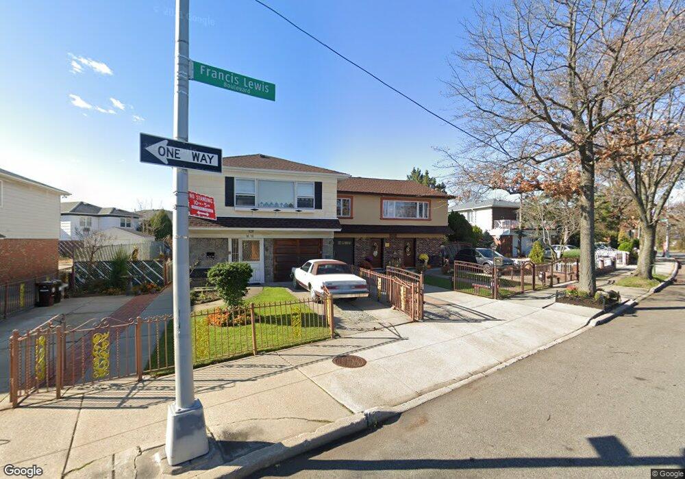
1606 Francis Lewis Blvd Whitestone, NY 11357
Whitestone NeighborhoodEstimated Value: $1,433,000 - $1,572,000
--
Bed
--
Bath
2,516
Sq Ft
$597/Sq Ft
Est. Value
About This Home
This home is located at 1606 Francis Lewis Blvd, Whitestone, NY 11357 and is currently estimated at $1,502,038, approximately $596 per square foot. 1606 Francis Lewis Blvd is a home located in Queens County with nearby schools including P.S. 209 - Clearview Gardens, J.H.S. 194 William Carr, and Bayside High School.
Ownership History
Date
Name
Owned For
Owner Type
Purchase Details
Closed on
Feb 25, 2016
Sold by
Lund Catherine
Bought by
Asaro Daniella and Gilmartin Patrick
Current Estimated Value
Home Financials for this Owner
Home Financials are based on the most recent Mortgage that was taken out on this home.
Original Mortgage
$600,000
Outstanding Balance
$477,095
Interest Rate
3.79%
Mortgage Type
Purchase Money Mortgage
Estimated Equity
$1,024,943
Create a Home Valuation Report for This Property
The Home Valuation Report is an in-depth analysis detailing your home's value as well as a comparison with similar homes in the area
Home Values in the Area
Average Home Value in this Area
Purchase History
| Date | Buyer | Sale Price | Title Company |
|---|---|---|---|
| Asaro Daniella | $885,000 | -- |
Source: Public Records
Mortgage History
| Date | Status | Borrower | Loan Amount |
|---|---|---|---|
| Open | Asaro Daniella | $600,000 |
Source: Public Records
Tax History Compared to Growth
Tax History
| Year | Tax Paid | Tax Assessment Tax Assessment Total Assessment is a certain percentage of the fair market value that is determined by local assessors to be the total taxable value of land and additions on the property. | Land | Improvement |
|---|---|---|---|---|
| 2025 | $12,754 | $64,495 | $10,525 | $53,970 |
| 2024 | $12,754 | $63,499 | $10,622 | $52,877 |
| 2023 | $12,194 | $60,714 | $9,200 | $51,514 |
| 2022 | $11,518 | $74,880 | $13,620 | $61,260 |
| 2021 | $11,455 | $79,980 | $13,620 | $66,360 |
| 2020 | $11,376 | $81,660 | $13,620 | $68,040 |
| 2019 | $11,070 | $80,640 | $13,620 | $67,020 |
| 2018 | $10,314 | $50,595 | $10,897 | $39,698 |
| 2017 | $9,801 | $48,081 | $11,954 | $36,127 |
| 2016 | $9,068 | $48,081 | $11,954 | $36,127 |
| 2015 | $2,297 | $44,788 | $12,724 | $32,064 |
| 2014 | $2,297 | $44,097 | $14,738 | $29,359 |
Source: Public Records
Map
Nearby Homes
- 158-22 16th Ave Unit 6-64
- 158-22 16th Ave Unit 2
- 157-03 Locke Ave
- 154-11 17th Ave
- 16-10 160th St Unit 686
- 17-02 Clintonville St
- 157-45 17th Rd Unit 1
- 16-1 160th St Unit 6-279
- 16-43 160th St
- 160-19 16th Ave Unit 6256
- 15-59 150th Place
- 1745 160th St Unit 5-65
- 151-05 Cross Island Pkwy Unit 3E
- 151-05 Cross Island Pkwy Unit 1-D
- 151-05 Cross Island Pkwy Unit 6C
- 14-07 158th St
- 151-77 20th Ave
- 17 Murray St Unit 4FL
- 15050 15th Dr
- 163-43 Willets Point Blvd Unit 5-172
- 1610 Francis Lewis Blvd
- 1604 Francis Lewis Blvd
- 16-06 Francis Lewis Blvd
- 15530 Locke Ave
- 1614 Francis Lewis Blvd
- 16-14 Francis Lewis Blvd
- 15528 Locke Ave
- 1616 Francis Lewis Blvd
- 16-35 156th St
- 15533 16th Dr
- 15524 Locke Ave
- 1635 156th St
- 16-18 157th St
- 15531 16th Dr
- 1618 157th St
- 15531 16th Dr Unit 1
- 15531 16th Dr
- 155-33 16th Dr
- 1618 157th St
- 15522 Locke Ave