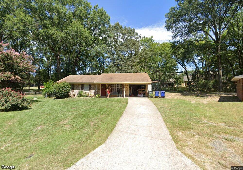
1606 Westwood Cir Conway, AR 72034
Downtown Conway NeighborhoodEstimated Value: $146,000 - $168,000
3
Beds
1
Bath
936
Sq Ft
$163/Sq Ft
Est. Value
About This Home
This home is located at 1606 Westwood Cir, Conway, AR 72034 and is currently estimated at $152,661, approximately $163 per square foot. 1606 Westwood Cir is a home located in Faulkner County with nearby schools including Ida Burns Elementary School, Conway Junior High School, and Ruth Doyle Intermediate School.
Ownership History
Date
Name
Owned For
Owner Type
Purchase Details
Closed on
Feb 29, 2012
Sold by
Adams Mardelyn M and Adams Jerry B
Bought by
Mcfadden Richard
Current Estimated Value
Home Financials for this Owner
Home Financials are based on the most recent Mortgage that was taken out on this home.
Original Mortgage
$38,400
Outstanding Balance
$4,667
Interest Rate
3.93%
Mortgage Type
New Conventional
Estimated Equity
$147,994
Purchase Details
Closed on
Jan 11, 1999
Bought by
Adams
Purchase Details
Closed on
Aug 5, 1993
Bought by
Adams
Purchase Details
Closed on
Sep 15, 1989
Bought by
Hoyt
Create a Home Valuation Report for This Property
The Home Valuation Report is an in-depth analysis detailing your home's value as well as a comparison with similar homes in the area
Home Values in the Area
Average Home Value in this Area
Purchase History
| Date | Buyer | Sale Price | Title Company |
|---|---|---|---|
| Mcfadden Richard | $48,000 | None Available | |
| Adams | -- | -- | |
| Adams | $163,000 | -- | |
| Hoyt | $37,000 | -- |
Source: Public Records
Mortgage History
| Date | Status | Borrower | Loan Amount |
|---|---|---|---|
| Open | Mcfadden Richard | $38,400 |
Source: Public Records
Tax History Compared to Growth
Tax History
| Year | Tax Paid | Tax Assessment Tax Assessment Total Assessment is a certain percentage of the fair market value that is determined by local assessors to be the total taxable value of land and additions on the property. | Land | Improvement |
|---|---|---|---|---|
| 2025 | $1,047 | $24,320 | $4,500 | $19,820 |
| 2024 | $960 | $24,320 | $4,500 | $19,820 |
| 2023 | $873 | $17,250 | $4,500 | $12,750 |
| 2022 | $873 | $17,250 | $4,500 | $12,750 |
| 2021 | $822 | $17,250 | $4,500 | $12,750 |
| 2020 | $747 | $14,770 | $4,500 | $10,270 |
| 2019 | $747 | $14,770 | $4,500 | $10,270 |
| 2018 | $747 | $14,770 | $4,500 | $10,270 |
| 2017 | $747 | $14,770 | $4,500 | $10,270 |
| 2016 | $747 | $14,770 | $4,500 | $10,270 |
| 2015 | $781 | $15,440 | $4,500 | $10,940 |
| 2014 | $781 | $15,440 | $4,500 | $10,940 |
Source: Public Records
Map
Nearby Homes
- 2480 Tyler St
- 15 Brierwood Cir
- 27 Brierwood Cir
- 26 Covewood Dr
- 15 Brier Springs Dr
- 1317 Fairlane Dr
- 9 Fair Oaks Dr
- 2115 Hairston St
- 2107 Broadview Ave
- 1308 Hillcrest Dr
- 2103 Tyler St
- 2405 Meadow Dr
- 1416 Donaghey Ave
- 2007 Arkansas Ave
- 2010 Hairston St
- 1415 Watkins St
- 2350 Krystal Kreek Dr
- 2850 Carmichael Dr
- 1840 Drury Ln
- 8 Smoking Oaks Rd
- 1604 Westwood Cir
- 1607 Westwood Cir
- 1602 Westwood Cir
- 1605 Westwood Cir
- 2465 Tyler St
- 1600 Westwood Cir
- 2319 Tyler St
- 2421 Tyler St
- 2413 Tyler St
- 2435 Tyler St
- 2410 Broadview Ave
- 2409 Tyler St
- 2407 Tyler St
- 2425 Tyler St
- 1615 Sarah Cir
- 0 Broadview Dr
- 2408 Broadview Ave
- 2413 Broadview Ave
- 2415 Broadview Ave
- 2415 Tyler St