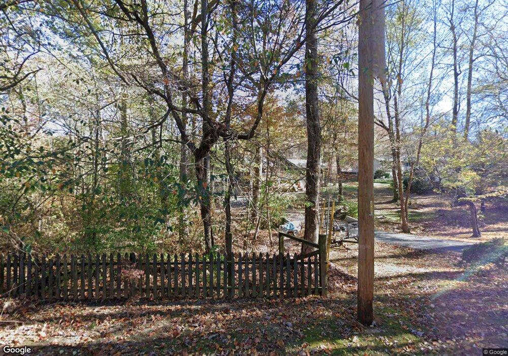
1607 Devlan Forest Ln Signal Mountain, TN 37377
Walden NeighborhoodEstimated Value: $416,682 - $462,000
3
Beds
2
Baths
2,025
Sq Ft
$218/Sq Ft
Est. Value
About This Home
This home is located at 1607 Devlan Forest Ln, Signal Mountain, TN 37377 and is currently estimated at $441,921, approximately $218 per square foot. 1607 Devlan Forest Ln is a home located in Hamilton County with nearby schools including Nolan Elementary School, Signal Mountain Middle/High School, and Signal Mountain Christian School.
Ownership History
Date
Name
Owned For
Owner Type
Purchase Details
Closed on
Nov 30, 2016
Sold by
Bartoo Joannah
Bought by
Bartoo Thomas M
Current Estimated Value
Home Financials for this Owner
Home Financials are based on the most recent Mortgage that was taken out on this home.
Original Mortgage
$172,500
Outstanding Balance
$139,291
Interest Rate
3.52%
Mortgage Type
New Conventional
Estimated Equity
$302,630
Purchase Details
Closed on
Feb 26, 2007
Sold by
Deutsche Bank National Trust Co
Bought by
Bartoo Thomas M and Bartoo Joannah
Home Financials for this Owner
Home Financials are based on the most recent Mortgage that was taken out on this home.
Original Mortgage
$147,000
Interest Rate
6.3%
Mortgage Type
Purchase Money Mortgage
Purchase Details
Closed on
Sep 21, 2006
Sold by
Battles Stephen L and Battles Mattie
Bought by
Deutsche Bank National Trust Co
Purchase Details
Closed on
Jan 7, 2004
Sold by
Sitton Beverly Ann and Sitton Walter Lamar
Bought by
Battles Stephen L and Battles Mattie M
Home Financials for this Owner
Home Financials are based on the most recent Mortgage that was taken out on this home.
Original Mortgage
$148,500
Interest Rate
6.55%
Mortgage Type
Stand Alone Refi Refinance Of Original Loan
Purchase Details
Closed on
Oct 6, 2000
Sold by
Blanton Polk Donna
Bought by
Battles Stephen L and Sitton Beverly Ann
Home Financials for this Owner
Home Financials are based on the most recent Mortgage that was taken out on this home.
Original Mortgage
$101,200
Interest Rate
7.97%
Mortgage Type
FHA
Purchase Details
Closed on
Mar 16, 1999
Sold by
Polk Michael Dillon
Bought by
Polk Donna Blanton
Purchase Details
Closed on
Jul 31, 1996
Sold by
Hall William C and Hall Sherri P
Bought by
Polk Michael D and Polk Donna B
Home Financials for this Owner
Home Financials are based on the most recent Mortgage that was taken out on this home.
Original Mortgage
$89,000
Interest Rate
8.26%
Mortgage Type
Purchase Money Mortgage
Create a Home Valuation Report for This Property
The Home Valuation Report is an in-depth analysis detailing your home's value as well as a comparison with similar homes in the area
Home Values in the Area
Average Home Value in this Area
Purchase History
| Date | Buyer | Sale Price | Title Company |
|---|---|---|---|
| Bartoo Thomas M | -- | Cumberland Title & Guaranty | |
| Bartoo Thomas M | $105,000 | None Available | |
| Deutsche Bank National Trust Co | $137,062 | None Available | |
| Battles Stephen L | -- | -- | |
| Battles Stephen L | $110,500 | Pioneer Title Agency Inc | |
| Polk Donna Blanton | -- | -- | |
| Polk Michael D | $96,000 | Pioneer Title Agency Inc |
Source: Public Records
Mortgage History
| Date | Status | Borrower | Loan Amount |
|---|---|---|---|
| Open | Bartoo Thomas M | $172,500 | |
| Closed | Bartoo Thomas M | $147,000 | |
| Previous Owner | Battles Stephen L | $148,500 | |
| Previous Owner | Battles Stephen L | $101,200 | |
| Previous Owner | Polk Michael D | $89,000 |
Source: Public Records
Tax History Compared to Growth
Tax History
| Year | Tax Paid | Tax Assessment Tax Assessment Total Assessment is a certain percentage of the fair market value that is determined by local assessors to be the total taxable value of land and additions on the property. | Land | Improvement |
|---|---|---|---|---|
| 2024 | $1,242 | $55,500 | $0 | $0 |
| 2023 | $1,537 | $55,500 | $0 | $0 |
| 2022 | $1,537 | $55,500 | $0 | $0 |
| 2021 | $1,537 | $55,500 | $0 | $0 |
| 2020 | $1,533 | $45,475 | $0 | $0 |
| 2019 | $1,487 | $45,475 | $0 | $0 |
| 2018 | $1,442 | $45,475 | $0 | $0 |
| 2017 | $1,433 | $45,475 | $0 | $0 |
| 2016 | $1,282 | $0 | $0 | $0 |
| 2015 | $1,282 | $40,150 | $0 | $0 |
| 2014 | $1,282 | $0 | $0 | $0 |
Source: Public Records
Map
Nearby Homes
- 2804 Taft Hwy
- 914 Olsen Ave
- 3680 Wilson Ave
- 3002 Wilson Ave
- 2598 Bristlecone Ln
- 2929 Battles Way
- 1713 Timesville Rd
- 1801 Hollister Rd
- 3612 Taft Hwy
- 25 Ridgerock Dr
- 848 Skyline Park Dr
- 3903 Anderson Pike
- 2416 Mourning Dove Ln
- 0 Skyline Park Dr Unit 1525124
- 11 Saint Nicholas Way
- 5025 Dandelion Trail
- 3572 Sweetshrub Way
- 2105 Fairmount Rd W
- 837 Skyline Park Dr
- 1702 James Blvd
- 1605 Devlan Forest Ln
- 1611 Devlan Forest Ln
- 1608 Devlan Forest Ln
- 1126 Lyness Ave
- 1606 Devlan Forest Ln
- 1138 Lyness Ave
- 5502 Castilla Ln
- 1610 Devlan Forest Ln
- 1613 Devlan Forest Ln
- 2902 Taft Hwy
- 1612 Devlan Forest Ln
- 1207 Spencer Ave
- 1141 Lyness Ave
- 1110 Lyness Ave
- 1110 Lyness Ave Unit 40 & 41
- 1164 Lyness Ave
- 1303 Spencer Ave
- 2906 Taft Hwy
- 1614 Devlan Forest Ln
- 1250 Spencer Ave
