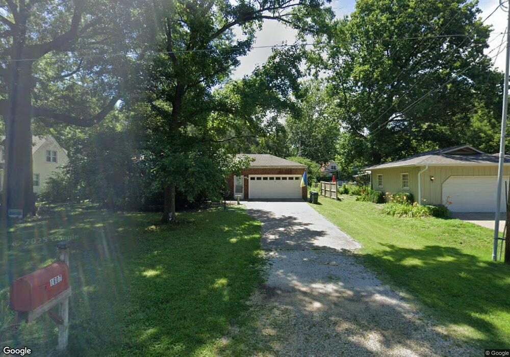
1607 Learnard Ave Lawrence, KS 66044
Barker NeighborhoodEstimated Value: $259,000 - $381,000
3
Beds
3
Baths
1,742
Sq Ft
$180/Sq Ft
Est. Value
About This Home
This home is located at 1607 Learnard Ave, Lawrence, KS 66044 and is currently estimated at $314,373, approximately $180 per square foot. 1607 Learnard Ave is a home located in Douglas County with nearby schools including Cordley Elementary School, Liberty Memorial Central Middle School, and Lawrence High School.
Ownership History
Date
Name
Owned For
Owner Type
Purchase Details
Closed on
May 16, 2013
Sold by
Smith Carole Beguelin and Cecil M Beguelin 1976 Trust
Bought by
Thompson John A and Thompson Corrie
Current Estimated Value
Home Financials for this Owner
Home Financials are based on the most recent Mortgage that was taken out on this home.
Original Mortgage
$104,400
Outstanding Balance
$73,812
Interest Rate
3.43%
Mortgage Type
New Conventional
Estimated Equity
$240,561
Create a Home Valuation Report for This Property
The Home Valuation Report is an in-depth analysis detailing your home's value as well as a comparison with similar homes in the area
Home Values in the Area
Average Home Value in this Area
Purchase History
| Date | Buyer | Sale Price | Title Company |
|---|---|---|---|
| Thompson John A | -- | Commerce Title |
Source: Public Records
Mortgage History
| Date | Status | Borrower | Loan Amount |
|---|---|---|---|
| Open | Thompson John A | $104,400 |
Source: Public Records
Tax History
| Year | Tax Paid | Tax Assessment Tax Assessment Total Assessment is a certain percentage of the fair market value that is determined by local assessors to be the total taxable value of land and additions on the property. | Land | Improvement |
|---|---|---|---|---|
| 2025 | $3,782 | $30,843 | $9,200 | $21,643 |
| 2024 | $3,999 | $32,511 | $8,625 | $23,886 |
| 2023 | $3,869 | $30,245 | $6,900 | $23,345 |
| 2022 | $3,419 | $26,600 | $4,600 | $22,000 |
| 2021 | $3,048 | $22,908 | $4,368 | $18,540 |
| 2020 | $2,856 | $21,597 | $4,368 | $17,229 |
| 2019 | $2,641 | $20,021 | $3,798 | $16,223 |
| 2018 | $2,529 | $19,044 | $3,571 | $15,473 |
| 2017 | $2,333 | $17,400 | $3,571 | $13,829 |
| 2016 | $2,204 | $17,181 | $4,884 | $12,297 |
| 2015 | -- | $18,055 | $4,884 | $13,171 |
| 2014 | -- | $18,480 | $4,884 | $13,596 |
Source: Public Records
Map
Nearby Homes
- 414 Forrest Ave
- 1644 Barker Ave
- 1709 Learnard Ave
- 1618 Pennsylvania St
- 1634 Rhode Island St
- 1327 New Jersey St
- 903 Anna Tappan Way
- 907 Anna Tappan Way
- 5701 Johnson Ave
- 1829 Delaware St
- 717 Beatnik Ct
- 1215 New Jersey St
- 917 E 13th St
- 1141 Connecticut St
- 2035 Barker Ave
- 1616 Louisiana St
- 1111 New Jersey St
- 1100 New York St
- 1736 Brook St
- 1201 E 13th St
- 1611 Learnard Ave
- 401 E 15th Place
- 313 E 15th Place
- 309 E 15th Place
- 1608 Learnard Ave
- 1627 Learnard Ave
- 442 Forrest Ave
- 432 Forrest Ave
- 305 E 15th Place
- 1536 Learnard Ave
- 402 E 15th Place
- 314 E 15th Place
- 428 Forrest Ave
- 510 Forrest Ave
- 301 E 15th Place
- 310 E 15th Place
- 424 Forrest Ave
- 306 E 15th Place
- 1533 Learnard Ave
- 1637 Learnard Ave
Your Personal Tour Guide
Ask me questions while you tour the home.