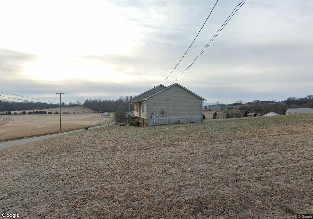
1607 Silverado Ct Sevierville, TN 37876
Estimated Value: $287,249 - $315,000
--
Bed
2
Baths
1,288
Sq Ft
$234/Sq Ft
Est. Value
About This Home
This home is located at 1607 Silverado Ct, Sevierville, TN 37876 and is currently estimated at $301,125, approximately $233 per square foot. 1607 Silverado Ct is a home located in Sevier County with nearby schools including Northview Elementary School, Catons Chapel Elementary School, and Jones Cove Elementary School.
Ownership History
Date
Name
Owned For
Owner Type
Purchase Details
Closed on
Aug 30, 2021
Sold by
Denton George A and Denton Judith A
Bought by
Everett Donald J
Current Estimated Value
Home Financials for this Owner
Home Financials are based on the most recent Mortgage that was taken out on this home.
Original Mortgage
$213,949
Outstanding Balance
$194,678
Interest Rate
2.8%
Mortgage Type
FHA
Estimated Equity
$106,447
Purchase Details
Closed on
Dec 20, 2005
Sold by
Darrell Keene
Bought by
Denton George A
Create a Home Valuation Report for This Property
The Home Valuation Report is an in-depth analysis detailing your home's value as well as a comparison with similar homes in the area
Home Values in the Area
Average Home Value in this Area
Purchase History
| Date | Buyer | Sale Price | Title Company |
|---|---|---|---|
| Everett Donald J | $217,900 | Paramount Land Ttl Of Knoxvi | |
| Denton George A | $112,400 | -- |
Source: Public Records
Mortgage History
| Date | Status | Borrower | Loan Amount |
|---|---|---|---|
| Open | Everett Donald J | $213,949 |
Source: Public Records
Tax History Compared to Growth
Tax History
| Year | Tax Paid | Tax Assessment Tax Assessment Total Assessment is a certain percentage of the fair market value that is determined by local assessors to be the total taxable value of land and additions on the property. | Land | Improvement |
|---|---|---|---|---|
| 2025 | $560 | $37,850 | $7,500 | $30,350 |
| 2024 | $560 | $37,850 | $7,500 | $30,350 |
| 2023 | $560 | $37,850 | $0 | $0 |
| 2022 | $560 | $37,850 | $7,500 | $30,350 |
| 2021 | $560 | $37,850 | $7,500 | $30,350 |
| 2020 | $586 | $37,850 | $7,500 | $30,350 |
| 2019 | $586 | $31,525 | $7,500 | $24,025 |
| 2018 | $586 | $31,525 | $7,500 | $24,025 |
| 2017 | $586 | $31,525 | $7,500 | $24,025 |
| 2016 | $586 | $31,525 | $7,500 | $24,025 |
| 2015 | -- | $28,900 | $0 | $0 |
| 2014 | $471 | $28,901 | $0 | $0 |
Source: Public Records
Map
Nearby Homes
- 2017 Malibu Ct
- 1718 Watauga St
- 1826 Watauga St
- 1934 River Vista Cir
- 1924 River Vista Cir
- 0 Chances Ridge Dr
- 1719 Tahoe Trail
- 1843 River Vista Cir
- 1998 Tranquility Ln
- 1861 Big Buck Ln
- 1870 Big Buck Ln
- 2725 River Island Blvd
- 1520 Rosewood Dr
- 2067 Highpoint Ln
- 0 Highpoint Dr Unit 1250528
- 1505 Indian Warpath Rd
- 9624 Gunnies Dr
- 1923 Big Chiefs Skyview Dr
- The Stratford Plan at The Farm at Riverbend - Craftsman
- The Winston Plan at The Farm at Riverbend - Craftsman
- 1755 Sand Plant Rd
- 1763 Sand Plant Rd
- 1751 Sand Plant Rd
- 1616 Silverado Ct
- 1617 Silverado Ct
- 1659 Silverado Ct
- 1758 Sand Plant Rd
- 1660 Silverado Ct
- 1771 Sand Plant Rd
- 1760 Sand Plant Rd
- 1620 Silverado Ct
- 2005 Malibu Ct
- 1762 Sand Plant Rd
- 2005 Malibu Ct
- 1756 Sand Plant Rd
- 1656 Silverado Ct
- 0000 Sand Plant Rd
- 0 Sand Plant Rd
- 1989 River Vista Cir
- 1764 Sand Plant Rd