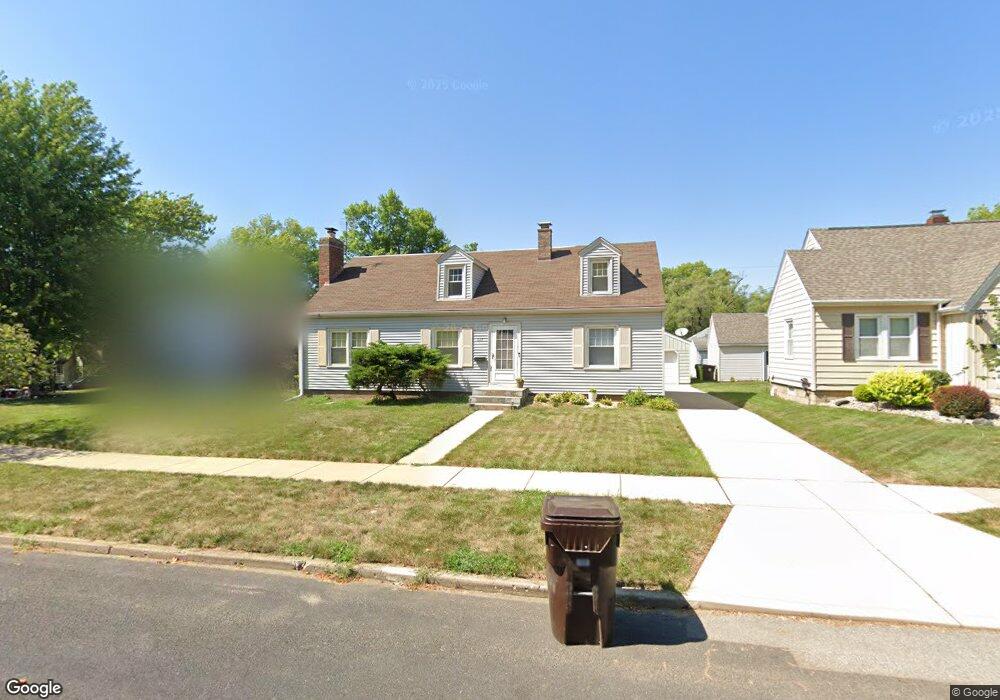
1607 W Margaret Ave Peoria, IL 61604
West Bluff NeighborhoodEstimated Value: $134,000 - $153,000
2
Beds
2
Baths
1,504
Sq Ft
$96/Sq Ft
Est. Value
About This Home
This home is located at 1607 W Margaret Ave, Peoria, IL 61604 and is currently estimated at $144,814, approximately $96 per square foot. 1607 W Margaret Ave is a home located in Peoria County with nearby schools including Franklin Primary School, Sterling Middle School, and Peoria High School.
Ownership History
Date
Name
Owned For
Owner Type
Purchase Details
Closed on
Apr 1, 2025
Sold by
Harms Julie A
Bought by
Harms Julie A
Current Estimated Value
Create a Home Valuation Report for This Property
The Home Valuation Report is an in-depth analysis detailing your home's value as well as a comparison with similar homes in the area
Home Values in the Area
Average Home Value in this Area
Purchase History
| Date | Buyer | Sale Price | Title Company |
|---|---|---|---|
| Harms Julie A | -- | None Listed On Document |
Source: Public Records
Tax History Compared to Growth
Tax History
| Year | Tax Paid | Tax Assessment Tax Assessment Total Assessment is a certain percentage of the fair market value that is determined by local assessors to be the total taxable value of land and additions on the property. | Land | Improvement |
|---|---|---|---|---|
| 2024 | $3,193 | $41,300 | $4,930 | $36,370 |
| 2023 | $3,000 | $37,890 | $4,520 | $33,370 |
| 2022 | $2,712 | $34,120 | $4,220 | $29,900 |
| 2021 | $2,635 | $32,500 | $4,020 | $28,480 |
| 2020 | $2,623 | $32,180 | $3,980 | $28,200 |
| 2019 | $2,674 | $32,840 | $4,060 | $28,780 |
| 2018 | $2,646 | $33,170 | $4,100 | $29,070 |
| 2017 | $2,651 | $33,500 | $4,140 | $29,360 |
| 2016 | $2,566 | $33,500 | $4,140 | $29,360 |
| 2015 | $2,659 | $32,840 | $4,060 | $28,780 |
| 2014 | $2,665 | $34,880 | $4,030 | $30,850 |
| 2013 | -- | $35,300 | $4,080 | $31,220 |
Source: Public Records
Map
Nearby Homes
- 1721 W Gilbert Ave
- 2905 N University St
- 2822 N Easton Place
- 3129 N Finnell Ave
- 3121 N Isabell Ave
- 1105 W Gilbert Ave
- 2029 W Forrest Hill Ave
- 3026 N Parish Ave
- 2011 W Richwoods Blvd
- 1017 W Willcox Ave
- 2036 W Richwoods Blvd
- 1013 W Hanssler Place
- 1207 W Mcclure Ave
- 2703 N Golf Dr
- 2214 W Arrowhead Ln
- 2908 N Saint Philomena Ct
- 1210 W Macqueen Ave
- 2909 N Mission Rd
- 2221 W Tripp Ave
- 2315 W Hudson St
- 1603 W Margaret Ave
- 1617 W Margaret Ave
- 1606 W Circle Rd
- 1618 W Circle Rd
- 1612 W Circle Rd
- 3015 N Dries Ln
- 1527 W Margaret Ave
- 1526 W Circle Rd
- 1523 W Margaret Ave
- 1526 W Margaret Ave
- 1608 W Margaret Ave
- 1602 W Margaret Ave
- 1522 W Circle Rd
- 1610 W Margaret Ave
- 1612 W Margaret Ave
- 1614 W Margaret Ave
- 1519 W Margaret Ave
- 1616 W Margaret Ave
- 1607 W Circle Rd
- 1609 W Circle Rd