Estimated Value: $307,000 - $404,659
--
Bed
2
Baths
2,556
Sq Ft
$141/Sq Ft
Est. Value
About This Home
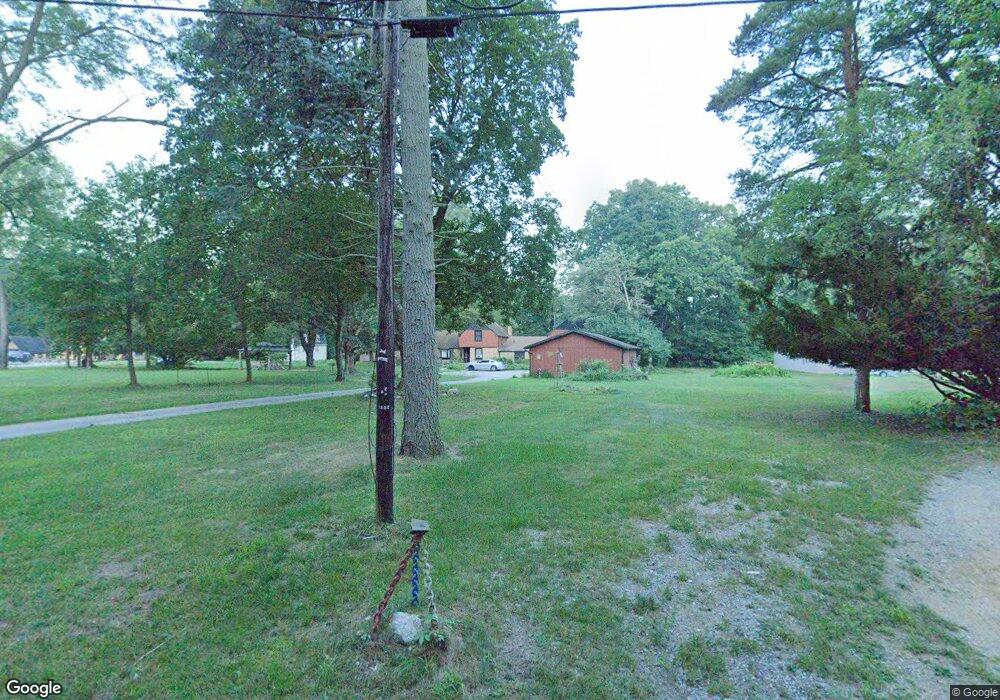
This home is located at 1608 Cedar Point Dr, Niles, MI 49120 and is currently estimated at $359,665, approximately $140 per square foot. 1608 Cedar Point Dr is a home located in Berrien County with nearby schools including Merritt Elementary School, Brandywine Elementary School, and Brandywine Middle School.
Ownership History
Date
Name
Owned For
Owner Type
Purchase Details
Closed on
Aug 4, 2021
Sold by
Huntsinger Laura Joy and Huntsinger Mary Alice
Bought by
Willis Lona
Current Estimated Value
Purchase Details
Closed on
Dec 2, 2002
Purchase Details
Closed on
Jul 30, 1999
Purchase Details
Closed on
Mar 29, 1996
Purchase Details
Closed on
Jan 22, 1992
Purchase Details
Closed on
Sep 24, 1981
Purchase Details
Closed on
Jun 25, 1979
Purchase Details
Closed on
Apr 1, 1975
Create a Home Valuation Report for This Property
The Home Valuation Report is an in-depth analysis detailing your home's value as well as a comparison with similar homes in the area
Home Values in the Area
Average Home Value in this Area
Purchase History
| Date | Buyer | Sale Price | Title Company |
|---|---|---|---|
| Willis Lona | $220,000 | None Available | |
| -- | $100 | -- | |
| -- | $100,000 | -- | |
| -- | $107,000 | -- | |
| -- | -- | -- | |
| -- | $78,800 | -- | |
| -- | $76,500 | -- | |
| -- | $70,000 | -- |
Source: Public Records
Tax History Compared to Growth
Tax History
| Year | Tax Paid | Tax Assessment Tax Assessment Total Assessment is a certain percentage of the fair market value that is determined by local assessors to be the total taxable value of land and additions on the property. | Land | Improvement |
|---|---|---|---|---|
| 2025 | $5,232 | $204,200 | $0 | $0 |
| 2024 | $3,636 | $223,700 | $0 | $0 |
| 2023 | $3,464 | $189,500 | $0 | $0 |
| 2022 | $3,315 | $162,500 | $0 | $0 |
| 2021 | $3,677 | $167,400 | $51,400 | $116,000 |
| 2020 | $3,660 | $168,100 | $0 | $0 |
| 2019 | $3,602 | $122,800 | $51,400 | $71,400 |
| 2018 | $3,502 | $122,800 | $0 | $0 |
| 2017 | $3,579 | $125,300 | $0 | $0 |
| 2016 | $3,873 | $136,600 | $0 | $0 |
| 2015 | $3,727 | $136,200 | $0 | $0 |
| 2014 | $2,719 | $135,200 | $0 | $0 |
Source: Public Records
Map
Nearby Homes
- 1695 Signal Point Dr
- 1630 S 3rd St
- 1010 Tomahawk Ln
- V/L Wesaw Rd
- 2019 S 3rd St
- 1108 Brandywine St
- 300 Carefree Ct
- 1225 Country Club Dr
- Integrity 1610 Plan at Carefree Villas
- Integrity 1605 Plan at Carefree Villas
- Integrity 1250 Plan at Carefree Villas
- Integrity 1530 Plan at Carefree Villas
- 340 Carefree Ct
- 1639 Sioux Trail
- 1831 S 12th St
- 413 S Street Joseph Ave
- 2120 S 3rd St
- 1410 Oakdale Ave
- 1950 S 13th St Unit lot 213
- 211 S Street Joseph Ave
- 1602 Cedar Point Dr
- 1614 Cedar Point Dr
- 0 Cedar Point Dr
- 1564 Cedar Point Dr
- 1618 Cedar Point Dr
- 1611 Cedar Point Dr
- 1542 Cedar Point Dr
- 1617 Cedar Point Dr
- 1622 Cedar Point Dr
- 35 Beeson Rd
- 45 Beeson Rd
- 1562 Cedar Point Dr
- 1565 Cedar Point Dr
- 1565 Cedar Point Dr
- 55 Beeson Rd
- 1560 Cedar Point Dr
- 1625 Cedar Point Dr
- 65 Beeson Rd
- 70 Beeson Rd
- 1520 Cedar Point Dr