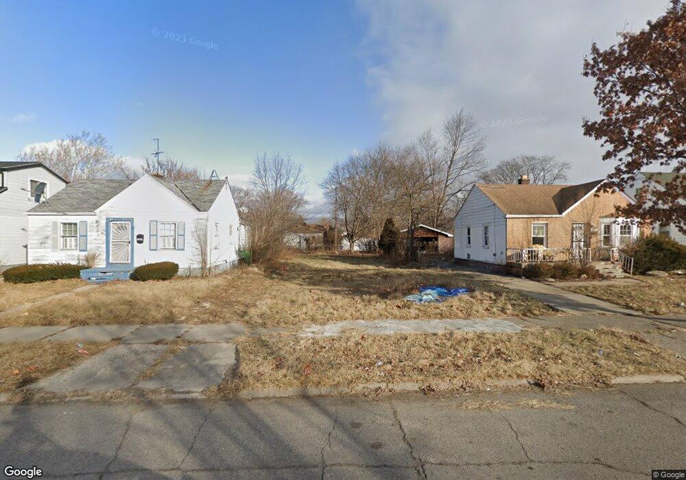
16085 Liberal St Detroit, MI 48205
Regent Park NeighborhoodEstimated Value: $34,000 - $112,806
--
Bed
1
Bath
672
Sq Ft
$109/Sq Ft
Est. Value
About This Home
This home is located at 16085 Liberal St, Detroit, MI 48205 and is currently estimated at $73,452, approximately $109 per square foot. 16085 Liberal St is a home located in Wayne County with nearby schools including Edward 'Duke' Ellington Conservatory of Music and Art, Charles L. Spain Elementary-Middle School, and Denby High School.
Ownership History
Date
Name
Owned For
Owner Type
Purchase Details
Closed on
May 16, 2023
Sold by
Detroit Land Bank Authority
Bought by
Hailey Lela
Current Estimated Value
Purchase Details
Closed on
Jan 23, 2014
Sold by
Wayne County Treasurer
Bought by
Detroit Landbank Authority
Purchase Details
Closed on
Jan 25, 2011
Sold by
Elm Investment Co
Bought by
Benjigates Estates Llc
Purchase Details
Closed on
Nov 29, 2010
Sold by
Wojtowicz Raymond J
Bought by
Elm Investment Co
Purchase Details
Closed on
Apr 3, 2006
Sold by
Charter One Mortgage Corp
Bought by
Thorne Alan
Purchase Details
Closed on
Mar 19, 2003
Sold by
Mercer Prentis T and Mercer Kimberly A
Bought by
Charter One Mortgage Corp
Create a Home Valuation Report for This Property
The Home Valuation Report is an in-depth analysis detailing your home's value as well as a comparison with similar homes in the area
Home Values in the Area
Average Home Value in this Area
Purchase History
| Date | Buyer | Sale Price | Title Company |
|---|---|---|---|
| Hailey Lela | -- | None Listed On Document | |
| Detroit Landbank Authority | -- | None Available | |
| Benjigates Estates Llc | -- | None Available | |
| Elm Investment Co | $500 | None Available | |
| Thorne Alan | $28,000 | Title Source Inc | |
| Charter One Mortgage Corp | $64,298 | -- |
Source: Public Records
Tax History Compared to Growth
Tax History
| Year | Tax Paid | Tax Assessment Tax Assessment Total Assessment is a certain percentage of the fair market value that is determined by local assessors to be the total taxable value of land and additions on the property. | Land | Improvement |
|---|---|---|---|---|
| 2025 | -- | $700 | $0 | $0 |
| 2024 | -- | $0 | $0 | $0 |
| 2023 | $0 | $0 | $0 | $0 |
| 2022 | $0 | $0 | $0 | $0 |
| 2021 | $0 | $0 | $0 | $0 |
| 2020 | $2,098 | $0 | $0 | $0 |
| 2019 | $2,098 | $0 | $0 | $0 |
| 2018 | $0 | $0 | $0 | $0 |
| 2017 | -- | $0 | $0 | $0 |
| 2016 | $1,896 | $0 | $0 | $0 |
| 2015 | $1,896 | $0 | $0 | $0 |
| 2013 | $1,896 | $18,964 | $0 | $0 |
| 2010 | -- | $27,805 | $1,058 | $26,747 |
Source: Public Records
Map
Nearby Homes
- 16100 Liberal St
- 16077 Liberal St
- 16221 Liberal St
- 16236 Liberal St
- 16232 Manning St
- 16274 Liberal St
- 16052 Tacoma St
- 16073 Tacoma St
- 16209 Tacoma St
- 16235 Tacoma St
- 16419 Novara St
- 16410 Novara St
- 15848 Liberal St
- 16011 Tacoma St
- 15834 Liberal St
- 19401 Kelly Rd
- 16216 E State Fair St
- 15834 Manning St
- 16211 Maddelein St
- 19249 Kelly Rd
- 16069 Liberal St Unit Bldg-Unit
- 16069 Liberal St
- 16093 Liberal St
- 16061 Liberal St
- 16101 Liberal St
- 16053 Liberal St
- 16111 Liberal St
- 16080 Manning St
- 16074 Manning St
- 16084 Liberal St
- 16076 Liberal St
- 16092 Manning St
- 16066 Manning St
- 16092 Liberal St
- 16068 Liberal St
- 16045 Liberal St
- 16117 Liberal St
- 16100 Manning St
- 16060 Liberal St
- 16058 Manning St