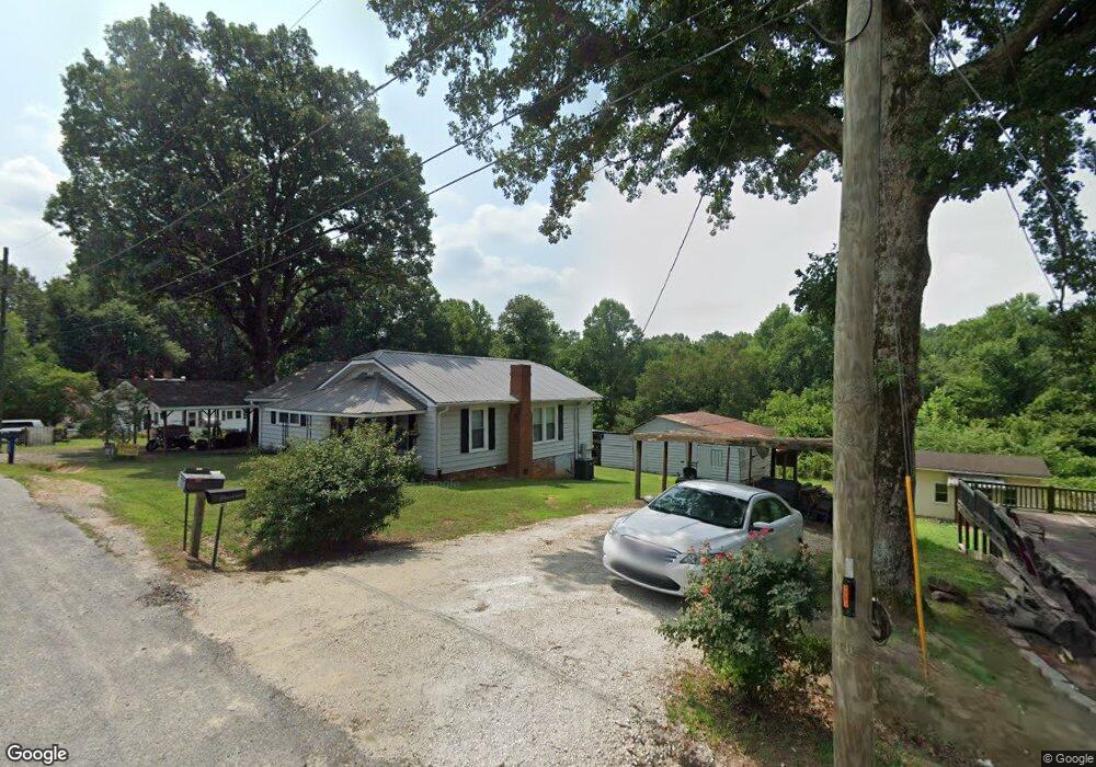
1609 Daniels St Kannapolis, NC 28081
Estimated Value: $147,000 - $215,285
--
Bed
1
Bath
1,300
Sq Ft
$139/Sq Ft
Est. Value
About This Home
This home is located at 1609 Daniels St, Kannapolis, NC 28081 and is currently estimated at $181,071, approximately $139 per square foot. 1609 Daniels St is a home located in Rowan County with nearby schools including Landis Elementary School, Corriher Lipe Middle School, and South Rowan High School.
Ownership History
Date
Name
Owned For
Owner Type
Purchase Details
Closed on
Jun 2, 2021
Sold by
Baker James Gilbert and Baker Patty Wilhite
Bought by
Morris Todd and Knight Amber N
Current Estimated Value
Home Financials for this Owner
Home Financials are based on the most recent Mortgage that was taken out on this home.
Original Mortgage
$86,000
Outstanding Balance
$71,645
Interest Rate
2.9%
Mortgage Type
New Conventional
Estimated Equity
$109,426
Create a Home Valuation Report for This Property
The Home Valuation Report is an in-depth analysis detailing your home's value as well as a comparison with similar homes in the area
Home Values in the Area
Average Home Value in this Area
Purchase History
| Date | Buyer | Sale Price | Title Company |
|---|---|---|---|
| Morris Todd | $81,000 | None Available |
Source: Public Records
Mortgage History
| Date | Status | Borrower | Loan Amount |
|---|---|---|---|
| Open | Morris Todd | $86,000 |
Source: Public Records
Tax History Compared to Growth
Tax History
| Year | Tax Paid | Tax Assessment Tax Assessment Total Assessment is a certain percentage of the fair market value that is determined by local assessors to be the total taxable value of land and additions on the property. | Land | Improvement |
|---|---|---|---|---|
| 2025 | $1,013 | $153,488 | $34,200 | $119,288 |
| 2024 | $1,013 | $153,488 | $34,200 | $119,288 |
| 2023 | $1,013 | $153,488 | $34,200 | $119,288 |
| 2022 | $640 | $86,835 | $23,940 | $62,895 |
| 2021 | $601 | $81,506 | $23,940 | $57,566 |
| 2020 | $601 | $81,506 | $23,940 | $57,566 |
| 2019 | $601 | $81,506 | $23,940 | $57,566 |
| 2018 | $515 | $70,419 | $23,940 | $46,479 |
| 2017 | $515 | $70,419 | $23,940 | $46,479 |
| 2016 | $508 | $70,419 | $23,940 | $46,479 |
| 2015 | $516 | $70,419 | $23,940 | $46,479 |
| 2014 | $493 | $68,497 | $19,950 | $48,547 |
Source: Public Records
Map
Nearby Homes
- 1711 W C St
- 0000 Buffalo St
- 1530 Buffalo St
- 1734 Shadowbrook Dr
- 122 Andrew St
- 113 Hilton Ave
- 0 W C St Unit 2 CAR4255761
- 0 W C St Unit CAR4255556
- 4648 Nob Hill Dr
- Lot 1 Arlene Ave
- 0 Pump Station Rd
- 1110 Northside St
- 1408 Westwinds Ct
- 0 Winona Ave
- 1116 S Juniper St
- 1402 Birch St
- 1405 Birch St
- 405 Westover Ave
- 2218 Woodcrest Dr
- 905 W 8th St