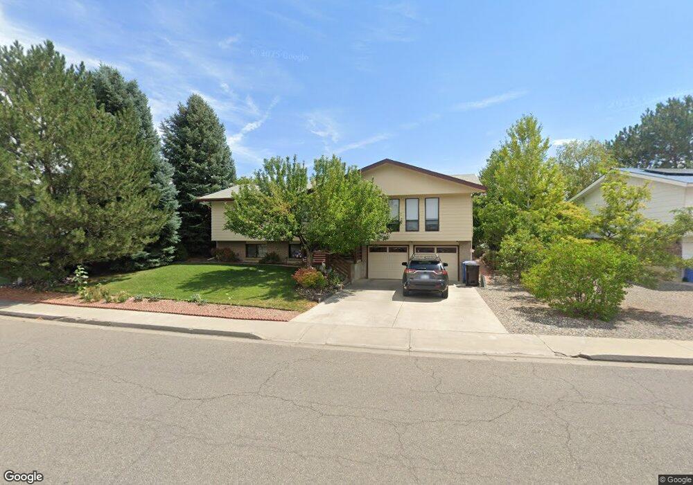
1609 Kent Ave Montrose, CO 81401
Estimated Value: $428,360 - $463,000
4
Beds
3
Baths
2,172
Sq Ft
$205/Sq Ft
Est. Value
About This Home
This home is located at 1609 Kent Ave, Montrose, CO 81401 and is currently estimated at $444,840, approximately $204 per square foot. 1609 Kent Ave is a home located in Montrose County with nearby schools including Pomona Elementary School, Columbine Middle School, and Montrose High School.
Ownership History
Date
Name
Owned For
Owner Type
Purchase Details
Closed on
Mar 9, 2022
Sold by
Gordon Jon W and Gordon Beth A
Bought by
Gordon Jon W and Gordon Beth A
Current Estimated Value
Purchase Details
Closed on
May 19, 1998
Sold by
Gardner Jimmie D and Gardner Patricia S
Bought by
Gordon Jon W and Gordon Beth A
Purchase Details
Closed on
Aug 19, 1994
Sold by
H & P Construction Co Inc
Bought by
Gardner Jimmie D and Gardner Patricia S
Purchase Details
Closed on
Mar 14, 1994
Sold by
Phillips Construction Co Inc
Bought by
H & P Construction Co Inc
Create a Home Valuation Report for This Property
The Home Valuation Report is an in-depth analysis detailing your home's value as well as a comparison with similar homes in the area
Home Values in the Area
Average Home Value in this Area
Purchase History
| Date | Buyer | Sale Price | Title Company |
|---|---|---|---|
| Gordon Jon W | -- | None Listed On Document | |
| Gordon Jon W | $139,000 | -- | |
| Gardner Jimmie D | $100,000 | -- | |
| H & P Construction Co Inc | $12,800 | -- |
Source: Public Records
Tax History Compared to Growth
Tax History
| Year | Tax Paid | Tax Assessment Tax Assessment Total Assessment is a certain percentage of the fair market value that is determined by local assessors to be the total taxable value of land and additions on the property. | Land | Improvement |
|---|---|---|---|---|
| 2024 | $1,300 | $24,730 | $3,210 | $21,520 |
| 2023 | $1,300 | $29,470 | $3,820 | $25,650 |
| 2022 | $935 | $20,340 | $2,780 | $17,560 |
| 2021 | $963 | $20,930 | $2,860 | $18,070 |
| 2020 | $810 | $19,070 | $2,470 | $16,600 |
| 2019 | $816 | $19,070 | $2,470 | $16,600 |
| 2018 | $581 | $15,470 | $1,990 | $13,480 |
| 2017 | $576 | $15,470 | $1,990 | $13,480 |
| 2016 | $1,048 | $15,290 | $2,010 | $13,280 |
| 2015 | $1,029 | $15,290 | $2,010 | $13,280 |
| 2014 | $880 | $13,980 | $2,010 | $11,970 |
Source: Public Records
Map
Nearby Homes
- 2055 Princeton Way Unit A
- 2135 Winston Way Unit B
- 1510 Kent Ave Unit A
- 1510 Kent Ave
- 2125 Hartford Way Unit A
- 2136 Stratford Dr Unit A
- 2036 Scarborough Way Unit J
- 2038 Winston Way Unit A
- 1323 Manchester Dr
- 2409 Pecan St
- 2210 Devon St
- 2130 Devon St
- 1239 Leeds Ave
- 2319 Stone Bridge Dr
- 1119 Phillips Ct Unit G
- 1119 Phillips Ct
- 1119 Phillips Ct Unit A
- 1219 Peppertree Dr
- 1205 Dover Rd
- 1413 Chatam Dr
- 1615 Kent Ave
- 1539 Kent Ave
- 1614 Manchester Dr
- 1538 Manchester Dr
- 1623 Kent Ave
- 1531 Kent Ave
- 1622 Manchester Dr
- 1530 Manchester Dr
- 2053 Scarborough Way Unit B
- 2053 Scarborough Way Unit A
- 2053 Scarborough Way Unit B
- 2053 Scarborough Way
- TBD 2 Ravens
- 2135 Winston Way Unit A
- 1631 Kent Ave
- 0 Kent Ave Unit 603198
- 0 Kent Ave Unit 621236
- 0 Kent Ave Unit 627166
- 0 Kent Ave Unit 628956
- 0 Kent Ave Unit 645921