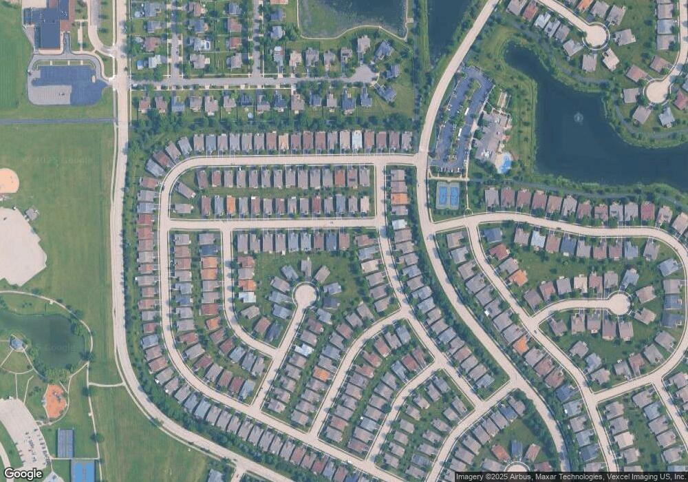
1609 Patriot St Shorewood, IL 60404
Estimated Value: $405,314 - $480,000
--
Bed
--
Bath
1,892
Sq Ft
$231/Sq Ft
Est. Value
About This Home
This home is located at 1609 Patriot St, Shorewood, IL 60404 and is currently estimated at $436,579, approximately $230 per square foot. 1609 Patriot St is a home with nearby schools including Walnut Trails Elementary School, Minooka Junior High School, and Minooka Intermediate School.
Ownership History
Date
Name
Owned For
Owner Type
Purchase Details
Closed on
Jun 12, 2020
Sold by
Sterrett Ellen M
Bought by
Sterrett Ellen M and Em Sterrett Trust
Current Estimated Value
Purchase Details
Closed on
Oct 31, 2012
Sold by
Pulte Home Corp
Bought by
Sterrett Ellen M
Home Financials for this Owner
Home Financials are based on the most recent Mortgage that was taken out on this home.
Original Mortgage
$135,040
Outstanding Balance
$93,271
Interest Rate
3.38%
Mortgage Type
New Conventional
Estimated Equity
$343,308
Create a Home Valuation Report for This Property
The Home Valuation Report is an in-depth analysis detailing your home's value as well as a comparison with similar homes in the area
Home Values in the Area
Average Home Value in this Area
Purchase History
| Date | Buyer | Sale Price | Title Company |
|---|---|---|---|
| Sterrett Ellen M | -- | Attorney | |
| Sterrett Ellen M | $235,640 | None Available |
Source: Public Records
Mortgage History
| Date | Status | Borrower | Loan Amount |
|---|---|---|---|
| Open | Sterrett Ellen M | $135,040 |
Source: Public Records
Tax History Compared to Growth
Tax History
| Year | Tax Paid | Tax Assessment Tax Assessment Total Assessment is a certain percentage of the fair market value that is determined by local assessors to be the total taxable value of land and additions on the property. | Land | Improvement |
|---|---|---|---|---|
| 2024 | $8,453 | $127,039 | $18,510 | $108,529 |
| 2023 | $8,453 | $119,273 | $16,631 | $102,642 |
| 2022 | $7,393 | $105,668 | $15,737 | $89,931 |
| 2021 | $6,932 | $99,405 | $14,804 | $84,601 |
| 2020 | $6,617 | $94,075 | $14,804 | $79,271 |
| 2019 | $6,466 | $90,239 | $14,200 | $76,039 |
| 2018 | $6,225 | $86,300 | $14,200 | $72,100 |
| 2017 | $5,987 | $83,200 | $14,200 | $69,000 |
| 2016 | $5,718 | $78,900 | $14,200 | $64,700 |
| 2015 | $4,717 | $72,675 | $12,825 | $59,850 |
| 2014 | $4,717 | $68,394 | $12,825 | $55,569 |
| 2013 | $4,717 | $12,825 | $12,825 | $0 |
Source: Public Records
Map
Nearby Homes
- 704 Flag Dr
- 621 Pleasant Dr
- 312 Honors Dr
- 1228 Conquest Ct
- 228 Parkside Dr
- 1808 Wintercrest Ct
- 1728 Parkside Dr Unit 2
- 110 National Ct
- 0000 W Seil Rd
- 1713 Fieldstone Dr N
- 00002 Jefferson St
- 1 AC Jefferson St
- 00001 Jefferson St
- 1602 Fieldstone Dr S
- 0 W Seil Rd
- 1204 Glen Mor Dr Unit B
- 1604 Augusta Ln
- 1018 Butterfield Cir E Unit 5
- 22020 S River Rd
- 1007 Windsor Dr
- 1611 Patriot St
- 609 Freedom Way
- 611 Freedom Way
- 1613 Patriot St
- 613 Freedom Way
- 1608 Patriot St
- 1610 Patriot St
- 618 Unity Ct
- 1615 Patriot St
- 1612 Patriot St
- 1606 Patriot St
- 6119 Patriot St
- 1614 Patriot St
- 617 Unity Ct
- 620 Unity Ct
- 1617 Patriot St
- 1616 Patriot St
- 610 Freedom Way
- 608 Freedom Way
- 1618 Patriot St
