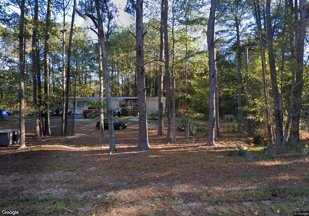
1609 Wade Patrick Rd Braxton, MS 39044
Estimated Value: $413,364 - $482,000
3
Beds
3
Baths
2,345
Sq Ft
$191/Sq Ft
Est. Value
About This Home
This home is located at 1609 Wade Patrick Rd, Braxton, MS 39044 and is currently estimated at $447,682, approximately $190 per square foot. 1609 Wade Patrick Rd is a home located in Rankin County with nearby schools including McLaurin Elementary School.
Ownership History
Date
Name
Owned For
Owner Type
Purchase Details
Closed on
Nov 24, 2025
Sold by
Harris Kristy
Bought by
Harris James D
Current Estimated Value
Home Financials for this Owner
Home Financials are based on the most recent Mortgage that was taken out on this home.
Original Mortgage
$214,000
Outstanding Balance
$213,234
Interest Rate
5.53%
Mortgage Type
New Conventional
Estimated Equity
$234,448
Purchase Details
Closed on
Aug 28, 2019
Sold by
Mae-Harris Lora
Bought by
Harris James D and Harris Kristy
Create a Home Valuation Report for This Property
The Home Valuation Report is an in-depth analysis detailing your home's value as well as a comparison with similar homes in the area
Purchase History
| Date | Buyer | Sale Price | Title Company |
|---|---|---|---|
| Harris James D | -- | None Listed On Document | |
| Harris James D | -- | The Security Title Guarantee C | |
| Harris James D | -- | -- |
Source: Public Records
Mortgage History
| Date | Status | Borrower | Loan Amount |
|---|---|---|---|
| Open | Harris James D | $214,000 | |
| Closed | Harris James D | $214,000 |
Source: Public Records
Tax History
| Year | Tax Paid | Tax Assessment Tax Assessment Total Assessment is a certain percentage of the fair market value that is determined by local assessors to be the total taxable value of land and additions on the property. | Land | Improvement |
|---|---|---|---|---|
| 2024 | $2,038 | $23,686 | $0 | $0 |
| 2023 | $1,677 | $20,033 | $0 | $0 |
| 2022 | $1,647 | $3,923 | $0 | $0 |
| 2021 | $486 | $4,995 | $0 | $0 |
| 2020 | $486 | $4,995 | $0 | $0 |
| 2019 | $1,112 | $14,129 | $0 | $0 |
| 2018 | $1,084 | $14,129 | $0 | $0 |
| 2017 | $1,084 | $14,129 | $0 | $0 |
| 2016 | $1,200 | $16,137 | $0 | $0 |
| 2015 | $1,200 | $16,137 | $0 | $0 |
| 2014 | $1,166 | $16,137 | $0 | $0 |
| 2013 | -- | $16,137 | $0 | $0 |
Source: Public Records
Map
Nearby Homes
- 0 Easy St
- 1105 Rock Hill Rd
- 0 Saint John Rd Unit 4140000
- 1100 Rock Hill Rd
- 0 Bill Hubbard Rd Unit 26421084
- 0 Bill Hubbard Rd
- 128 Oak Tree Ln
- 1264 Shell Oil Rd
- Clara Foote Rd
- J05 Red Light Rd
- 4167 Highway 18
- Johns Shilow Rd
- 0 Clara Foote Rd
- 329 County Line Rd
- 0 Ashley Rd Unit 20288528
- 0 Ashley Rd Unit 11613506
- 0 Donna Ashley St
- 00 Ashley Rd
- 0 Joe Davis Dr
- 00 Johns Shiloh Rd
- 1585 Wade Patrick Rd
- 1679 Wade Patrick Rd
- 1653 Wade Patrick Rd
- 1565 Wade Patrick Rd
- 1012 Rock Hill Rd
- 966 Rock Hill Rd
- 947 Rock Hill Rd
- 902 Rock Hill Rd
- 0 Rock Hill Rd
- 1013 Rock Hill Rd
- 140 St John Rd
- 1699 Wade Patrick Rd
- 117 St John Rd
- 901 Rock Hill Rd
- 133 St John Rd
- 850 Rock Hill Rd
- 858 Rock Hill Rd
- 810 Rock Hill Rd
- 169 St John Rd
- 1726 Wade Patrick Rd
Your Personal Tour Guide
Ask me questions while you tour the home.