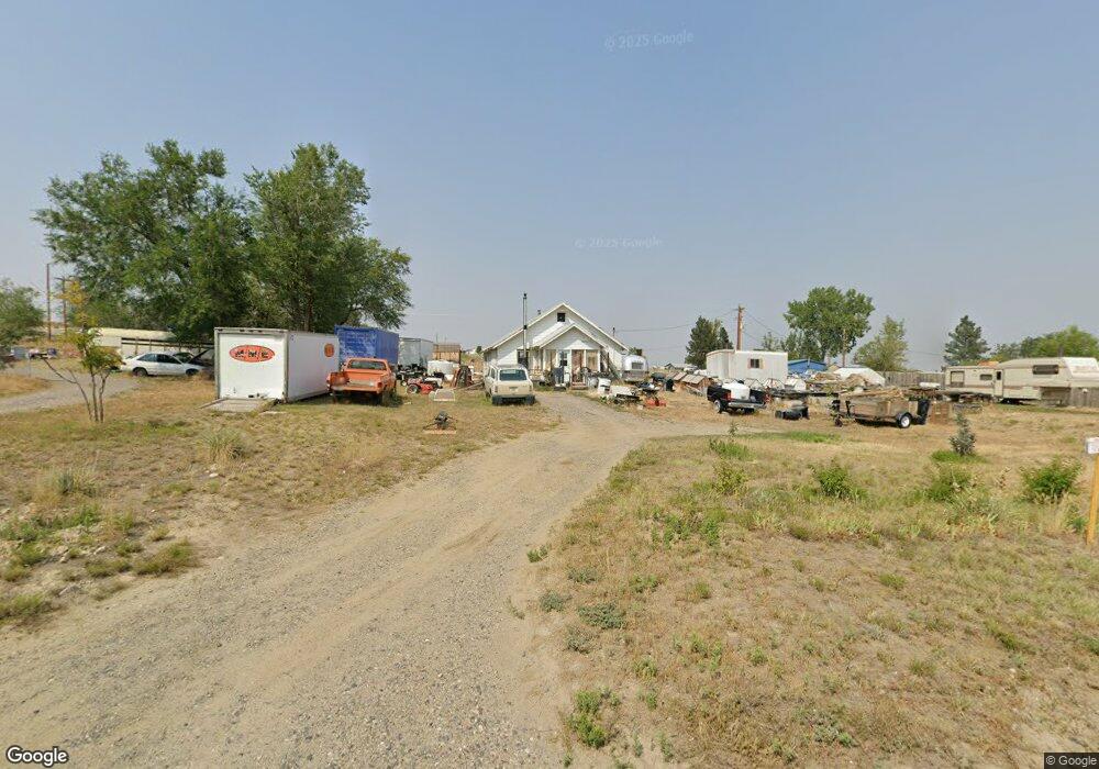
1609 Wagon Wheel Rd Billings, MT 59105
Billings Heights NeighborhoodEstimated Value: $214,000 - $324,000
2
Beds
1
Bath
808
Sq Ft
$338/Sq Ft
Est. Value
About This Home
This home is located at 1609 Wagon Wheel Rd, Billings, MT 59105 and is currently estimated at $272,757, approximately $337 per square foot. 1609 Wagon Wheel Rd is a home located in Yellowstone County with nearby schools including Independent Elementary School, Castle Rock Junior High School, and Skyview High School.
Ownership History
Date
Name
Owned For
Owner Type
Purchase Details
Closed on
Sep 25, 2006
Sold by
English H Elwood
Bought by
Irving George M and Irving Sandra L
Current Estimated Value
Home Financials for this Owner
Home Financials are based on the most recent Mortgage that was taken out on this home.
Original Mortgage
$100,000
Outstanding Balance
$59,837
Interest Rate
6.51%
Mortgage Type
New Conventional
Estimated Equity
$212,920
Create a Home Valuation Report for This Property
The Home Valuation Report is an in-depth analysis detailing your home's value as well as a comparison with similar homes in the area
Home Values in the Area
Average Home Value in this Area
Purchase History
| Date | Buyer | Sale Price | Title Company |
|---|---|---|---|
| Irving George M | -- | None Available |
Source: Public Records
Mortgage History
| Date | Status | Borrower | Loan Amount |
|---|---|---|---|
| Open | Irving George M | $100,000 |
Source: Public Records
Tax History
| Year | Tax Paid | Tax Assessment Tax Assessment Total Assessment is a certain percentage of the fair market value that is determined by local assessors to be the total taxable value of land and additions on the property. | Land | Improvement |
|---|---|---|---|---|
| 2025 | $340 | $250,600 | $97,200 | $153,400 |
| 2024 | $340 | $219,100 | $84,800 | $134,300 |
| 2023 | $455 | $219,100 | $84,800 | $134,300 |
| 2022 | $1,200 | $166,100 | $0 | $0 |
| 2021 | $880 | $166,100 | $0 | $0 |
| 2020 | $703 | $147,100 | $0 | $0 |
| 2019 | $930 | $147,100 | $0 | $0 |
| 2018 | $860 | $123,400 | $0 | $0 |
| 2017 | $1,167 | $123,400 | $0 | $0 |
| 2016 | $1,240 | $142,700 | $0 | $0 |
| 2015 | $1,172 | $142,700 | $0 | $0 |
| 2014 | $715 | $52,841 | $0 | $0 |
Source: Public Records
Map
Nearby Homes
- 2719 Strapper Ln
- 2701 Strapper Ln
- 2737 Strapper Ln
- 2738 Strapper Ln
- 2743 Strapper Ln
- 2731 Strapper Ln
- 1709 Oxbow Cir
- 3520 Cherylon St
- 3621 Clint Rd
- 1395 W Eugene Ave
- 2647 Palmer Ln
- 2635 Palmer Ln
- 2623 Palmer Ln
- 2624 Palmer Ln
- 2617 Palmer Ln
- 1384 W Eugene Ave
- 1385 W Eugene Ave
- 2618 Palmer Ln
- 2629 Palmer Ln
- 2648 Palmer Ln
- 1637 Wagon Wheel Rd
- 1632 Wagon Wheel Rd
- 3619 Bitterroot Dr
- 1641 Buckhorn Ln
- 3542 Broken Yoke Dr
- 3535 Bitterroot Dr
- 2744 Strapper Ln
- 2707 Strapper Ln
- 2712 Strapper Ln
- 2749 Strapper Ln
- 2725 Strapper Ln
- 2713 Strapper Ln
- 2702 Strapper Ln
- 3539 Bitterroot Dr
- 3625 Broken Yoke Dr
- 3750 Broken Yoke Dr
- 3726 Broken Yoke Dr
- 3515 Bitterroot Dr
- 3526 Broken Yoke Dr
- 3511 Bitterroot Dr
Your Personal Tour Guide
Ask me questions while you tour the home.