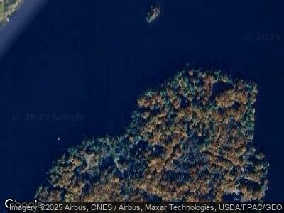
161 Buck N Doe Trail Augusta, ME 04330
Estimated Value: $277,815 - $388,000
2
Beds
1
Bath
836
Sq Ft
$407/Sq Ft
Est. Value
About This Home
This home is located at 161 Buck N Doe Trail, Augusta, ME 04330 and is currently estimated at $340,454, approximately $407 per square foot. 161 Buck N Doe Trail is a home located in Kennebec County with nearby schools including Cony Middle School and Cony School.
Ownership History
Date
Name
Owned For
Owner Type
Purchase Details
Closed on
Aug 11, 2010
Sold by
Hanley James M and Hganley Bethany G
Bought by
Giggey Sandra H and Eldredge Lee S
Current Estimated Value
Home Financials for this Owner
Home Financials are based on the most recent Mortgage that was taken out on this home.
Original Mortgage
$120,000
Outstanding Balance
$80,919
Interest Rate
4.63%
Mortgage Type
Purchase Money Mortgage
Estimated Equity
$259,535
Create a Home Valuation Report for This Property
The Home Valuation Report is an in-depth analysis detailing your home's value as well as a comparison with similar homes in the area
Home Values in the Area
Average Home Value in this Area
Purchase History
| Date | Buyer | Sale Price | Title Company |
|---|---|---|---|
| Giggey Sandra H | -- | -- | |
| Giggey Sandra H | -- | -- |
Source: Public Records
Mortgage History
| Date | Status | Borrower | Loan Amount |
|---|---|---|---|
| Open | Giggey Sandra H | $120,000 | |
| Closed | Giggey Sandra H | $120,000 |
Source: Public Records
Tax History Compared to Growth
Tax History
| Year | Tax Paid | Tax Assessment Tax Assessment Total Assessment is a certain percentage of the fair market value that is determined by local assessors to be the total taxable value of land and additions on the property. | Land | Improvement |
|---|---|---|---|---|
| 2024 | $3,591 | $150,900 | $114,400 | $36,500 |
| 2023 | $3,465 | $150,900 | $114,400 | $36,500 |
| 2022 | $3,308 | $150,900 | $114,400 | $36,500 |
| 2021 | $3,160 | $150,900 | $114,400 | $36,500 |
| 2020 | $3,160 | $150,900 | $114,400 | $36,500 |
| 2019 | $3,164 | $150,900 | $114,400 | $36,500 |
| 2018 | $3,164 | $150,900 | $114,400 | $36,500 |
| 2017 | $3,075 | $150,900 | $114,400 | $36,500 |
| 2016 | $2,986 | $150,900 | $114,400 | $36,500 |
| 2015 | $2,927 | $150,900 | $114,400 | $36,500 |
| 2014 | $2,817 | $150,900 | $114,400 | $36,500 |
Source: Public Records
Map
Nearby Homes
- 112 & 113 Holmes Rd
- 65 Lone Indian Trail
- M10 L109 Legion Park Rd
- 185 Legion Park Rd
- 52 Casey Rd
- 222 Ward Rd
- 20 Pit Rd
- Lot 2C Woodard Rd
- 232 Cross Hill Rd
- 66 Balsam Dr
- 193 Park Ln
- 2877 N Belfast Ave
- 14 King Rd
- 1650 N Belfast Ave
- 54 Barton Rd
- 282 Pierces Point Rd
- 41 Bolton Hill Rd
- M.7 Lot 4F N Belfast Ave
- M.7 Lot 4E N Belfast Ave
- 927 S Belfast Ave
- 161 Buck N Doe Trail
- 165 Buck N Doe Trail
- 171 Buck N Doe Trail
- 155 Buck N Doe Trail
- 155 Buck and Doe Trail
- 175 Buck N Doe Trail
- 149 Buck N Doe Trail
- 149 Buck and Doe Trail
- 177 Buck and Doe Trail
- 145 Buck N Doe Trail
- 177 Buck N Doe Trail
- 999 Lone Indian
- 425-428 Lone Indian Trail
- 419,420 Buck and Doe Trail
- 421-424 Buck and Doe Trail
- 139 Buck N Doe Trail
- 183 Buck N Doe Trail
- 7 Birch Canoe Trail
- 135 Lone Indian Trail
- 133 Buck N Doe Trail
