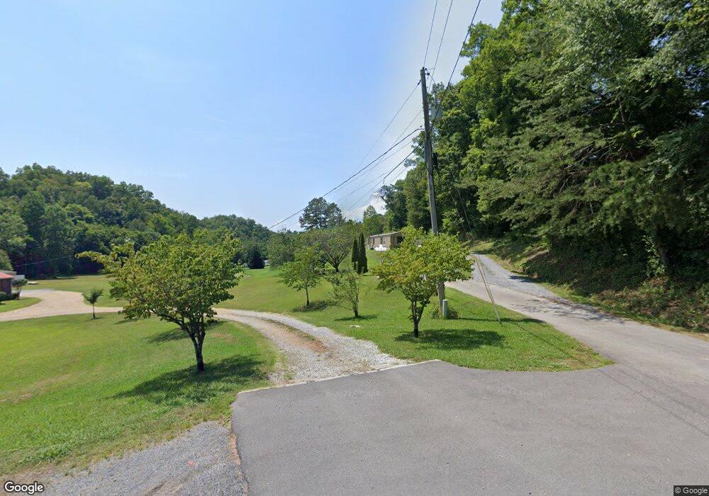
161 Country Path Rd Newport, TN 37821
Estimated Value: $70,000 - $263,000
--
Bed
2
Baths
1,512
Sq Ft
$110/Sq Ft
Est. Value
About This Home
This home is located at 161 Country Path Rd, Newport, TN 37821 and is currently estimated at $166,500, approximately $110 per square foot. 161 Country Path Rd is a home located in Jefferson County with nearby schools including Calvary Baptist Tabernacle School.
Ownership History
Date
Name
Owned For
Owner Type
Purchase Details
Closed on
Aug 28, 2018
Sold by
Heine Chris and Catone Brett
Bought by
Eastside Investments Llc
Current Estimated Value
Purchase Details
Closed on
Apr 19, 2018
Sold by
Citibank N A
Bought by
Heine Chris and Catone Brett
Purchase Details
Closed on
Nov 14, 1994
Bought by
Kennedy Arnell W and Kennedy Mary L
Purchase Details
Closed on
Dec 1, 1992
Bought by
Vessar Reed J and Vessar Brenda
Purchase Details
Closed on
Nov 18, 1991
Bought by
Webb Larry E
Create a Home Valuation Report for This Property
The Home Valuation Report is an in-depth analysis detailing your home's value as well as a comparison with similar homes in the area
Home Values in the Area
Average Home Value in this Area
Purchase History
| Date | Buyer | Sale Price | Title Company |
|---|---|---|---|
| Eastside Investments Llc | $31,200 | Colonial Title Group Inc | |
| Heine Chris | $31,200 | Servicelink | |
| Kennedy Arnell W | $17,000 | -- | |
| Vessar Reed J | -- | -- | |
| Webb Larry E | -- | -- |
Source: Public Records
Tax History Compared to Growth
Tax History
| Year | Tax Paid | Tax Assessment Tax Assessment Total Assessment is a certain percentage of the fair market value that is determined by local assessors to be the total taxable value of land and additions on the property. | Land | Improvement |
|---|---|---|---|---|
| 2025 | $719 | $58,550 | $22,100 | $36,450 |
| 2023 | $719 | $31,275 | $0 | $0 |
| 2022 | $685 | $31,275 | $15,225 | $16,050 |
| 2021 | $685 | $31,275 | $15,225 | $16,050 |
| 2020 | $685 | $31,275 | $15,225 | $16,050 |
| 2019 | $685 | $31,275 | $15,225 | $16,050 |
| 2018 | $767 | $32,625 | $15,225 | $17,400 |
| 2017 | $767 | $32,625 | $15,225 | $17,400 |
| 2016 | $767 | $32,625 | $15,225 | $17,400 |
| 2015 | $767 | $32,625 | $15,225 | $17,400 |
| 2014 | $767 | $32,625 | $15,225 | $17,400 |
Source: Public Records
Map
Nearby Homes
- 204 Omega Rd
- 1633 Old Newport Hwy
- Par 067.14 Alpha Rd
- 1698 Old Newport Hwy
- 0 Indian Creek Rd Unit 1299218
- 1668 Deerwood Rd
- 000 TBD Upper Rinehart Rd
- TBA Upper Rinehart Rd
- 171 Highway 411
- 251 Huff Hollow Rd
- 701 Michaels Way
- 301 Holloway Rd
- 1277 Sunrise Dr
- 155 Judds Ln
- 1264 Fine St
- 3086 Old Highway 411
- 0 Sugar Cove Way
- 3.97 acres Bridge Chapel Rd
- 3406 Bridges Chapel Rd
- 153 Country Path Rd
- 159 Country Path Rd
- 151 Country Path Rd
- 133 Bird Way
- 3427 Bill Douglas Rd
- 145 Bird Way
- 3375 Bill Douglas Rd
- 3375 Bill Douglas Rd
- 142 Country Path Rd Unit 144
- 130 Country Path Rd
- 3353 Bill Douglas Rd
- 130 Bird Way
- 143 Keystone Way
- 3358 Bill Douglas Rd
- 211 Ridge Stone Way
- 125 Bird Way
- 1615 W Highway 25 70
- 166 Omega Rd
- 211 Alpha Rd
- 176 Omega Rd