Estimated Value: $454,173 - $588,000
3
Beds
2
Baths
1,628
Sq Ft
$324/Sq Ft
Est. Value
About This Home
This home is located at 161 Drew Hill Rd, Alton, NH 03809 and is currently estimated at $527,043, approximately $323 per square foot. 161 Drew Hill Rd is a home located in Belknap County with nearby schools including Alton Central School (Elem) and Prospect Mountain High School.
Ownership History
Date
Name
Owned For
Owner Type
Purchase Details
Closed on
Aug 7, 2025
Sold by
Tierney John
Bought by
John Tierney T and John Tierney
Current Estimated Value
Purchase Details
Closed on
Nov 13, 2007
Sold by
Jakobs Karl K
Bought by
Tierney John
Home Financials for this Owner
Home Financials are based on the most recent Mortgage that was taken out on this home.
Original Mortgage
$120,000
Interest Rate
6.47%
Mortgage Type
Purchase Money Mortgage
Purchase Details
Closed on
Jul 25, 2000
Sold by
Dunn Scott J
Bought by
Jakobs Karl K
Home Financials for this Owner
Home Financials are based on the most recent Mortgage that was taken out on this home.
Original Mortgage
$104,550
Interest Rate
8.28%
Mortgage Type
Purchase Money Mortgage
Create a Home Valuation Report for This Property
The Home Valuation Report is an in-depth analysis detailing your home's value as well as a comparison with similar homes in the area
Home Values in the Area
Average Home Value in this Area
Purchase History
| Date | Buyer | Sale Price | Title Company |
|---|---|---|---|
| John Tierney T | -- | -- | |
| John Tierney T | -- | -- | |
| Tierney John | $241,900 | -- | |
| Tierney John | $241,900 | -- | |
| Jakobs Karl K | $123,000 | -- | |
| Jakobs Karl K | $123,000 | -- |
Source: Public Records
Mortgage History
| Date | Status | Borrower | Loan Amount |
|---|---|---|---|
| Previous Owner | Jakobs Karl K | $120,000 | |
| Previous Owner | Jakobs Karl K | $104,550 |
Source: Public Records
Tax History Compared to Growth
Tax History
| Year | Tax Paid | Tax Assessment Tax Assessment Total Assessment is a certain percentage of the fair market value that is determined by local assessors to be the total taxable value of land and additions on the property. | Land | Improvement |
|---|---|---|---|---|
| 2024 | $3,636 | $280,100 | $100,300 | $179,800 |
| 2022 | $3,185 | $280,100 | $100,300 | $179,800 |
| 2021 | $3,188 | $280,100 | $100,300 | $179,800 |
| 2020 | $3,626 | $259,900 | $87,800 | $172,100 |
| 2019 | $3,251 | $259,900 | $87,800 | $172,100 |
| 2018 | $3,636 | $259,900 | $87,800 | $172,100 |
| 2017 | $3,342 | $259,900 | $87,800 | $172,100 |
| 2016 | $3,238 | $228,800 | $80,400 | $148,400 |
| 2015 | $3,265 | $228,800 | $80,400 | $148,400 |
| 2014 | $3,174 | $229,200 | $80,400 | $148,800 |
| 2013 | $2,919 | $217,200 | $64,200 | $153,000 |
Source: Public Records
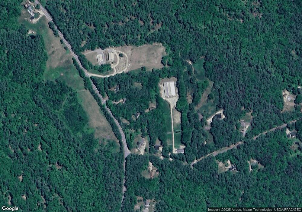
Map
Nearby Homes
- 117 Hayes Rd
- 25 Clay Point Rd
- 39 Winnipesaukee Dr
- 18-8 Winnipesaukee Dr
- 267-23 Winnipesaukee Dr
- 00 Winnipesaukee Dr Unit 10
- 0 Long Stack Ln
- 104 Hopewell Rd
- 23 Friar Tuck Way
- 45 Winnipesaukee Dr
- 87 Middleton Rd
- 120 Big Barndoor Island
- 5 Delings Cove Rd
- 116 Middleton Rd
- 106 Middleton Rd
- 67 Middleton Rd
- 1 Sleepy Hollow Rd