161 E Powerline Rd Safford, AZ 85546
Estimated Value: $295,598 - $373,000
Studio
--
Bath
1,464
Sq Ft
$233/Sq Ft
Est. Value
About This Home
This home is located at 161 E Powerline Rd, Safford, AZ 85546 and is currently estimated at $340,400, approximately $232 per square foot. 161 E Powerline Rd is a home located in Graham County with nearby schools including Dorothy Stinson School, Ruth Powell Elementary School, and Lafe Nelson School.
Ownership History
Date
Name
Owned For
Owner Type
Purchase Details
Closed on
Aug 22, 2018
Sold by
Woods Barnett Nancy S
Bought by
Barnett Christopher M and Barnett Nancy S Woods
Current Estimated Value
Home Financials for this Owner
Home Financials are based on the most recent Mortgage that was taken out on this home.
Original Mortgage
$135,000
Outstanding Balance
$117,242
Interest Rate
4.5%
Mortgage Type
New Conventional
Estimated Equity
$223,158
Create a Home Valuation Report for This Property
The Home Valuation Report is an in-depth analysis detailing your home's value as well as a comparison with similar homes in the area
Purchase History
| Date | Buyer | Sale Price | Title Company |
|---|---|---|---|
| Barnett Christopher M | -- | Stewart Title & Trust |
Source: Public Records
Mortgage History
| Date | Status | Borrower | Loan Amount |
|---|---|---|---|
| Open | Barnett Christopher M | $135,000 |
Source: Public Records
Tax History
| Year | Tax Paid | Tax Assessment Tax Assessment Total Assessment is a certain percentage of the fair market value that is determined by local assessors to be the total taxable value of land and additions on the property. | Land | Improvement |
|---|---|---|---|---|
| 2026 | $936 | -- | -- | -- |
| 2025 | $936 | $17,062 | $3,210 | $13,852 |
| 2024 | $963 | $15,349 | $2,262 | $13,087 |
| 2023 | $963 | $12,208 | $2,092 | $10,116 |
| 2022 | $943 | $10,564 | $1,639 | $8,925 |
| 2021 | $1,043 | $0 | $0 | $0 |
| 2020 | $1,055 | $0 | $0 | $0 |
| 2019 | $1,136 | $0 | $0 | $0 |
| 2018 | $1,071 | $0 | $0 | $0 |
| 2017 | $1,040 | $0 | $0 | $0 |
| 2016 | $1,027 | $0 | $0 | $0 |
| 2015 | $961 | $0 | $0 | $0 |
Source: Public Records
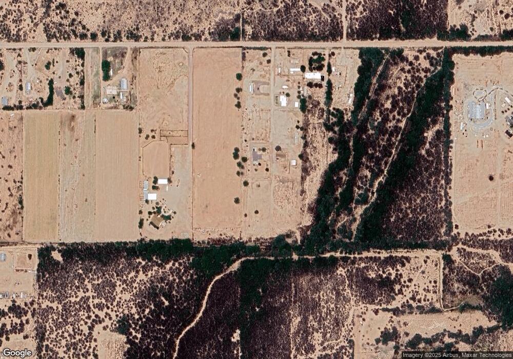
Map
Nearby Homes
- 5256 S Us Hwy 191 Lot 1 -- Unit 1
- 5256 U S 191 Unit 5
- 0 No Address Available Unknown Unit 22424757
- 4408 S 12th Ave
- tbd Tbd
- 3686 US Hwy 191
- APN# 103-22-018
- 3354 S Us Highway 191
- 1157 W Ocotilla St Unit W Ocot
- 8th and Discovery --
- 1193 W Apricot Loop
- 0 Star Fire Cir Unit 4 22415917
- 0000 W Doggie Dr Unit 163
- TBA W Doggie Dr
- 000 S Branding Iron Rd Unit 38
- 1601 E 68th Place
- 0 Us Hwy 191 Unit 13 22509576
- 0 Us Hwy 191 -- Unit 13 6846235
- 425 W Saddlehorn Dr
- 2555 S 8th Ave
- 163 E Powerline Rd
- 171 E Powerline Rd
- 5021 S Powerline Place
- 1 Acre Powerline Rd
- 4845 S Us Highway 191
- 453 W Powerline Rd
- 652 W Spradlin Ln
- 0 Substation Ln
- 5256 S Us Highway 191
- 983 W Substation Ln
- 912 W Substation Ln
- 1003 W Substation Ln Unit 1005
- 321 W Powerline Rd Unit 5000
- 1014 W Substation Ln
- 1078 W Substation Ln
- 4676 S Us Highway 191
- 4676 S Us Highway 191 Way
- 4661 S Us Hwy 191 --
- 4661 S Us Hwy 191
- 5285 S Ross Rd
Your Personal Tour Guide
Ask me questions while you tour the home.