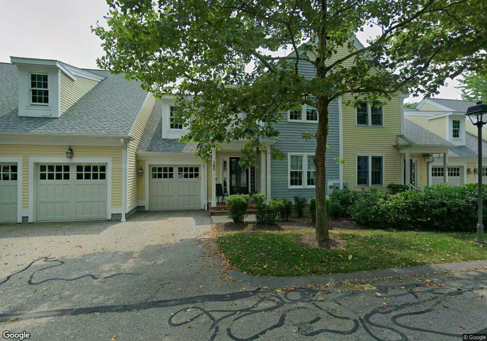
161 Godfrey Dr Norton, MA 02766
Estimated Value: $593,670 - $676,000
2
Beds
2
Baths
2,043
Sq Ft
$305/Sq Ft
Est. Value
About This Home
This home is located at 161 Godfrey Dr, Norton, MA 02766 and is currently estimated at $623,168, approximately $305 per square foot. 161 Godfrey Dr is a home located in Bristol County with nearby schools including J.C. Solmonese Elementary School, Henri A. Yelle Elementary School, and Norton Middle School.
Ownership History
Date
Name
Owned For
Owner Type
Purchase Details
Closed on
Nov 3, 2005
Sold by
Loughran Michael C and Loughran Patricia F
Bought by
Kempf Barbara A and Kempf James C
Current Estimated Value
Purchase Details
Closed on
Apr 18, 2002
Sold by
Thorndike Prop Of Mass
Bought by
Loughran Michael C and Loughran Patricia F
Home Financials for this Owner
Home Financials are based on the most recent Mortgage that was taken out on this home.
Original Mortgage
$290,000
Interest Rate
6.85%
Mortgage Type
Purchase Money Mortgage
Create a Home Valuation Report for This Property
The Home Valuation Report is an in-depth analysis detailing your home's value as well as a comparison with similar homes in the area
Home Values in the Area
Average Home Value in this Area
Purchase History
| Date | Buyer | Sale Price | Title Company |
|---|---|---|---|
| Kempf Barbara A | $449,000 | -- | |
| Loughran Michael C | $335,967 | -- |
Source: Public Records
Mortgage History
| Date | Status | Borrower | Loan Amount |
|---|---|---|---|
| Previous Owner | Loughran Michael C | $290,000 |
Source: Public Records
Tax History Compared to Growth
Tax History
| Year | Tax Paid | Tax Assessment Tax Assessment Total Assessment is a certain percentage of the fair market value that is determined by local assessors to be the total taxable value of land and additions on the property. | Land | Improvement |
|---|---|---|---|---|
| 2025 | $68 | $521,400 | $0 | $521,400 |
| 2024 | $6,557 | $506,300 | $0 | $506,300 |
| 2023 | $6,169 | $474,900 | $0 | $474,900 |
| 2022 | $6,351 | $445,400 | $0 | $445,400 |
| 2021 | $6,166 | $413,000 | $0 | $413,000 |
| 2020 | $6,018 | $406,600 | $0 | $406,600 |
| 2019 | $5,863 | $393,500 | $0 | $393,500 |
| 2018 | $5,765 | $380,300 | $0 | $380,300 |
| 2017 | $5,518 | $359,000 | $0 | $359,000 |
| 2016 | $5,556 | $355,900 | $0 | $355,900 |
| 2015 | $5,134 | $333,600 | $0 | $333,600 |
| 2014 | $4,981 | $324,100 | $0 | $324,100 |
Source: Public Records
Map
Nearby Homes
- 157 Mansfield Ave Unit 14
- 250 Mansfield Ave Unit 66
- 93 Mansfield Ave
- 15 Reservoir St Unit 44
- 39 Evergreen Rd
- 21 Juniper Rd
- 15 Patten Rd
- 18 Columbine Rd
- 9 Larson Farm Dr
- 37 Oakleaf Dr
- 268 Reservoir St
- 15 Rock Ln
- 14 Country Club Way
- 10 Ridge Rd
- 2 Oak St Unit 2D
- 2 Oak St Unit 2A
- 2 Oak St Unit 2C
- 2 Oak St Unit 2B
- 0 Brook Pkwy
- 23 Indian Rd
- 164 Godfrey Dr
- 163 Godfrey Dr
- 162 Godfrey Dr
- 161 Godfrey Dr Unit 161
- 162 Godfrey Dr Unit 162
- 163 Godfrey Dr Unit 3,16
- 162 Godfrey Dr Unit 2,16
- 164 Godfrey Dr Unit 4,16
- 161 Godfrey Dr Unit 1,16
- 124 Godfrey Drive Barker Unit 4-12
- 365 Godfrey Dr
- 364 Godfrey Dr
- 363 Godfrey Dr
- 362 Godfrey Dr
- 361 Godfrey Dr
- 325 Godfrey Dr
- 324 Godfrey Dr
- 323 Godfrey Dr
- 322 Godfrey Dr
- 321 Godfrey Dr