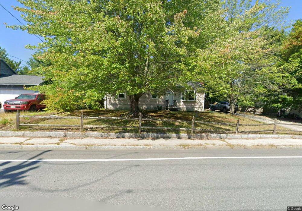
161 Harris Rd Nashua, NH 03062
Southwest Nashua NeighborhoodEstimated Value: $462,303 - $509,000
3
Beds
1
Bath
1,056
Sq Ft
$456/Sq Ft
Est. Value
About This Home
This home is located at 161 Harris Rd, Nashua, NH 03062 and is currently estimated at $481,826, approximately $456 per square foot. 161 Harris Rd is a home located in Hillsborough County with nearby schools including New Searles School, Fairgrounds Middle School, and Nashua High School South.
Ownership History
Date
Name
Owned For
Owner Type
Purchase Details
Closed on
Jun 11, 2001
Sold by
Bushwood T
Bought by
Marshall Alan S and Marshall Donna L
Current Estimated Value
Home Financials for this Owner
Home Financials are based on the most recent Mortgage that was taken out on this home.
Original Mortgage
$139,000
Interest Rate
7.08%
Mortgage Type
Purchase Money Mortgage
Create a Home Valuation Report for This Property
The Home Valuation Report is an in-depth analysis detailing your home's value as well as a comparison with similar homes in the area
Home Values in the Area
Average Home Value in this Area
Purchase History
| Date | Buyer | Sale Price | Title Company |
|---|---|---|---|
| Marshall Alan S | $165,000 | -- |
Source: Public Records
Mortgage History
| Date | Status | Borrower | Loan Amount |
|---|---|---|---|
| Open | Marshall Alan S | $196,377 | |
| Closed | Marshall Alan S | $139,000 |
Source: Public Records
Tax History Compared to Growth
Tax History
| Year | Tax Paid | Tax Assessment Tax Assessment Total Assessment is a certain percentage of the fair market value that is determined by local assessors to be the total taxable value of land and additions on the property. | Land | Improvement |
|---|---|---|---|---|
| 2024 | $6,934 | $436,100 | $159,100 | $277,000 |
| 2023 | $6,630 | $363,700 | $127,300 | $236,400 |
| 2022 | $6,572 | $363,700 | $127,300 | $236,400 |
| 2021 | $5,770 | $248,500 | $84,900 | $163,600 |
| 2020 | $5,619 | $248,500 | $84,900 | $163,600 |
| 2019 | $5,407 | $248,500 | $84,900 | $163,600 |
| 2018 | $5,271 | $248,500 | $84,900 | $163,600 |
| 2017 | $4,653 | $180,400 | $66,000 | $114,400 |
| 2016 | $4,523 | $180,400 | $66,000 | $114,400 |
| 2015 | $4,425 | $180,400 | $66,000 | $114,400 |
| 2014 | $4,339 | $180,400 | $66,000 | $114,400 |
Source: Public Records
Map
Nearby Homes
- 5 Wilderness Dr
- 15 Westray Dr
- 23 Glen Dr
- 2 Wakefield Dr
- 31 Tenby Dr
- 4 Henry David Dr Unit 203
- 5 Appaloosa Place
- 9 Michelle Dr
- 375 Main Dunstable Rd
- 29 Dickens St
- 285 E Dunstable Rd
- 25 Cortez Dr Unit U57
- 10 Lamb Rd
- 51 Legacy Dr
- 16 Laurel Ct Unit U320
- 125 Lille Rd
- 9 Byron Dr
- 30 Gendron St
- 247 Main Dunstable Rd
- 47 Dogwood Dr Unit U202
- 159 Harris Rd
- 163 Harris Rd
- 12 Saint Andrews Cir Unit U6
- 180 Harris Rd
- 14 Saint Andrews Cir Unit U7
- 178 Harris Rd
- 10 Saint Andrews Cir Unit U5
- 165 Harris Rd
- 157 Harris Rd
- 182 Harris Rd
- 15 Saint Andrews Cir Unit U8
- 176 Harris Rd
- 8 Saint Andrews Cir Unit U4
- 28 Killian Dr Unit U39
- 26 Killian Dr Unit U38
- 184 Harris Rd
- 14 Custom St
- 155 Harris Rd
- 6 Saint Andrews Cir Unit U3
- 174 Harris Rd