161 High Point Dr Glen Haven, CO 80532
Estimated Value: $228,000 - $360,000
1
Bed
1
Bath
440
Sq Ft
$709/Sq Ft
Est. Value
About This Home
This home is located at 161 High Point Dr, Glen Haven, CO 80532 and is currently estimated at $311,842, approximately $708 per square foot. 161 High Point Dr is a home with nearby schools including Estes Park K-5 School, Estes Park Options School, and Estes Park Middle School.
Ownership History
Date
Name
Owned For
Owner Type
Purchase Details
Closed on
Jul 1, 2025
Sold by
Scott Jessica Rae and Scott Schmidt H
Bought by
Scott Jessica Rae and Scott Schmidt H
Current Estimated Value
Purchase Details
Closed on
Jul 15, 2024
Sold by
Schmidt Jana Lourae
Bought by
Scott Jessica Rae and Scott Schmidt H
Purchase Details
Closed on
Aug 8, 2023
Sold by
Collins Jana L
Bought by
Schmidt H Lee
Purchase Details
Closed on
Mar 10, 2006
Sold by
Schmidt Roy O and Schmidt Betty L
Bought by
Schmidt Betty L
Purchase Details
Closed on
Jul 9, 1998
Sold by
Schmidt Schmidt H
Bought by
Schmidt Roy O and Schmidt Betty L
Purchase Details
Closed on
Apr 1, 1994
Sold by
Schmidt Betty L
Bought by
Schmidt Julie A
Create a Home Valuation Report for This Property
The Home Valuation Report is an in-depth analysis detailing your home's value as well as a comparison with similar homes in the area
Home Values in the Area
Average Home Value in this Area
Purchase History
| Date | Buyer | Sale Price | Title Company |
|---|---|---|---|
| Scott Jessica Rae | -- | None Listed On Document | |
| Scott Jessica Rae | -- | None Listed On Document | |
| Schmidt H Lee | -- | None Listed On Document | |
| Schmidt Betty L | -- | None Available | |
| Schmidt Roy O | -- | -- | |
| Schmidt Julie A | -- | -- |
Source: Public Records
Tax History Compared to Growth
Tax History
| Year | Tax Paid | Tax Assessment Tax Assessment Total Assessment is a certain percentage of the fair market value that is determined by local assessors to be the total taxable value of land and additions on the property. | Land | Improvement |
|---|---|---|---|---|
| 2025 | $1,076 | $19,423 | $6,030 | $13,393 |
| 2024 | $1,063 | $19,423 | $6,030 | $13,393 |
| 2022 | $619 | $8,646 | $4,761 | $3,885 |
| 2021 | $635 | $8,895 | $4,898 | $3,997 |
| 2020 | $650 | $8,959 | $3,790 | $5,169 |
| 2019 | $645 | $8,959 | $3,790 | $5,169 |
| 2018 | $636 | $8,546 | $3,384 | $5,162 |
| 2017 | $639 | $8,546 | $3,384 | $5,162 |
| 2016 | $446 | $6,177 | $3,184 | $2,993 |
| 2015 | $440 | $6,170 | $3,180 | $2,990 |
| 2014 | $391 | $5,650 | $3,020 | $2,630 |
Source: Public Records
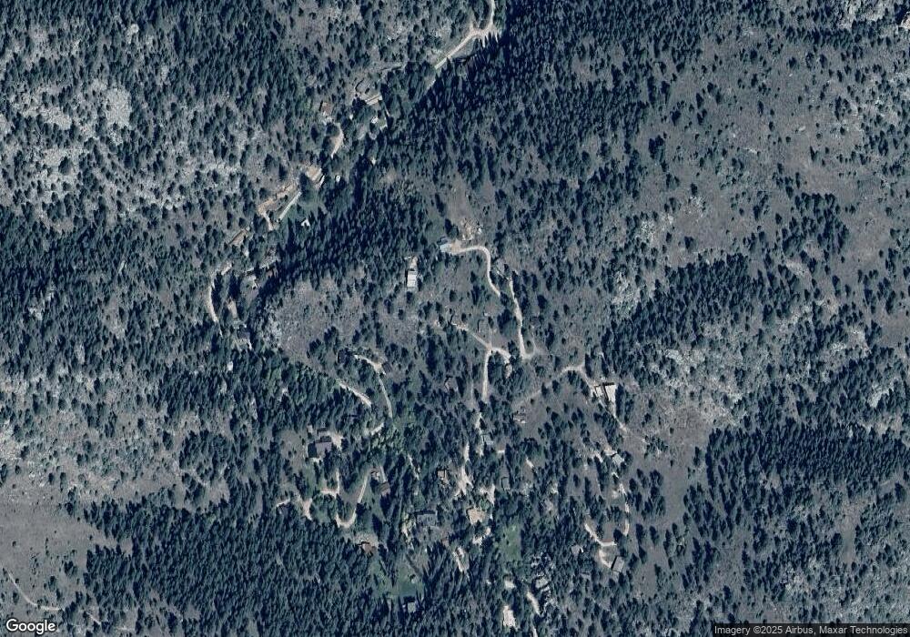
Map
Nearby Homes
- 66 Circle Dr
- 331 Fox Creek Rd
- 105 Fox Creek Rd
- 755 Fox Creek Rd
- 7294 County Road 43
- 957 Dunraven Glade Rd
- 575 Bulwark Ridge Dr
- 6781 County Road 43
- 1102 Miller Fork Rd
- 163 W Creek Rd
- 0 Dunraven Glade Rd Unit 1047641
- 317 Dunraven Glade Rd
- 189 Fishermans Ln
- 84 Copper Hill Rd
- 0 Miller Fork Rd Unit 1047651
- 1035 Streamside Dr
- 532 Elkridge Dr
- 416 Black Creek Dr
- 227 Streamside Dr
- 280 Streamside Dr
- 167 High Point Dr
- 215 High Point Dr
- 117 High Point Dr
- 230 High Point Dr
- 178 High Point Dr
- 210 High Point Dr
- 736 N Fork Rd
- 694 N Fork Rd
- 27 Circle Dr
- 323 Circle Dr
- 67 High Point Dr
- 954 N Fork Rd
- 254 Circle Dr
- 17 Triangle Mountain Rd
- 46 High Point Dr
- 860 N Fork Rd
- 938 N Fork Rd
- 994 N Fork Rd
- 126 N Triangle Mountain Rd
- 816 N Fork Rd