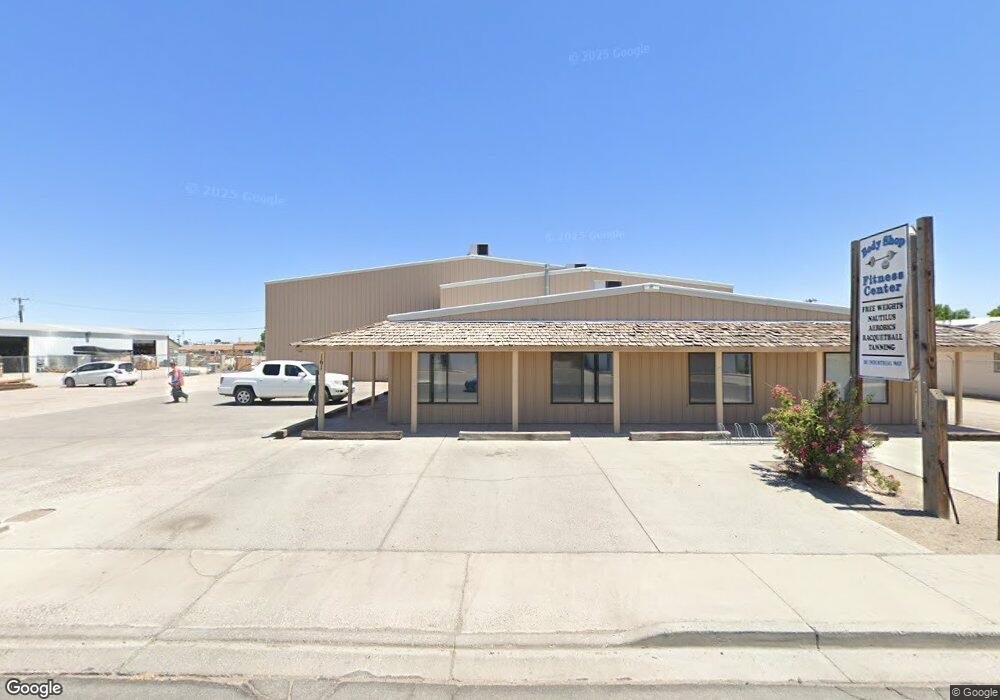
161 Industrial Way Fallon, NV 89406
Estimated Value: $304,000
--
Bed
--
Bath
7,290
Sq Ft
$42/Sq Ft
Est. Value
About This Home
This home is located at 161 Industrial Way, Fallon, NV 89406 and is currently estimated at $304,000, approximately $41 per square foot. 161 Industrial Way is a home located in Churchill County with nearby schools including Lahontan Elementary School, E.C. Best Elementary School, and Numa Elementary School.
Ownership History
Date
Name
Owned For
Owner Type
Purchase Details
Closed on
Sep 27, 2016
Sold by
Steven E Louie Llc
Bought by
Louies Commercial Properties Llc
Current Estimated Value
Home Financials for this Owner
Home Financials are based on the most recent Mortgage that was taken out on this home.
Original Mortgage
$47,719
Outstanding Balance
$38,219
Interest Rate
3.43%
Mortgage Type
Commercial
Estimated Equity
$265,781
Purchase Details
Closed on
Sep 1, 2010
Sold by
Fowler Virginia Marie and Fowler Guy Allen
Bought by
Steven E Louie Llc
Home Financials for this Owner
Home Financials are based on the most recent Mortgage that was taken out on this home.
Original Mortgage
$202,281
Interest Rate
4.51%
Mortgage Type
Commercial
Create a Home Valuation Report for This Property
The Home Valuation Report is an in-depth analysis detailing your home's value as well as a comparison with similar homes in the area
Home Values in the Area
Average Home Value in this Area
Purchase History
| Date | Buyer | Sale Price | Title Company |
|---|---|---|---|
| Louies Commercial Properties Llc | $350,000 | Western Nevada Title Company | |
| Steven E Louie Llc | $325,000 | Western Nevada Title Co |
Source: Public Records
Mortgage History
| Date | Status | Borrower | Loan Amount |
|---|---|---|---|
| Open | Louies Commercial Properties Llc | $47,719 | |
| Open | Louies Commercial Properties Llc | $202,281 | |
| Previous Owner | Steven E Louie Llc | $202,281 |
Source: Public Records
Tax History Compared to Growth
Tax History
| Year | Tax Paid | Tax Assessment Tax Assessment Total Assessment is a certain percentage of the fair market value that is determined by local assessors to be the total taxable value of land and additions on the property. | Land | Improvement |
|---|---|---|---|---|
| 2025 | $461 | $13,750 | $13,750 | -- |
| 2024 | $461 | $13,750 | $13,750 | $0 |
| 2023 | $461 | $13,750 | $13,750 | $0 |
| 2022 | $396 | $10,588 | $10,588 | $0 |
| 2021 | $396 | $10,588 | $10,588 | $0 |
| 2020 | $394 | $10,588 | $10,588 | $0 |
| 2019 | $394 | $10,588 | $10,588 | $0 |
| 2018 | $393 | $10,588 | $10,588 | $0 |
| 2017 | $393 | $10,588 | $10,588 | $0 |
| 2016 | $393 | $10,588 | $10,588 | $0 |
| 2015 | $393 | $10,588 | $10,588 | $0 |
| 2014 | $393 | $10,588 | $10,588 | $0 |
Source: Public Records
Map
Nearby Homes
- 327 Burntwood St
- 1044 Allen Rd
- 521 Whitaker Ln
- 540 Anthony Ln
- 1955 Manchester Cir
- 435 Cindy Ln
- 2210 Silver Cir
- 870 Sunset Dr
- 1021 Whitaker Ln
- 445 S Allen St
- 1475 Cedar Rd
- 654 Sycamore Dr
- 250 S Taylor St
- 485 S Russell St
- 431 Michael Dr
- 1380 Pine Rd
- 575 Babb Place
- 1953 Verona Dr
- 620 Sunset Dr
- 1755 Coleman Rd
- 161 Industrial Way
- 171 Industrial Way
- 141 Industrial Way
- 141 Industrial Way Unit 7
- 130 $ 140 Industrial Way
- 150 Industrial Way
- 160 Industrial Way
- 170 Industrial Way
- 1659 Kaiser St
- 180 Industrial Way
- 1655 Kaiser St
- 1661 Kaiser St Unit 1
- 1661 Kaiser St
- 1661 Kaiser St Unit St.
- 1653 Kaiser St Unit 1
- 1653 Kaiser St
- 190 Industrial Way
- 301 Burntwood St
- 1803 Grimes St Unit 3
- 1663 Kaiser St Unit 1