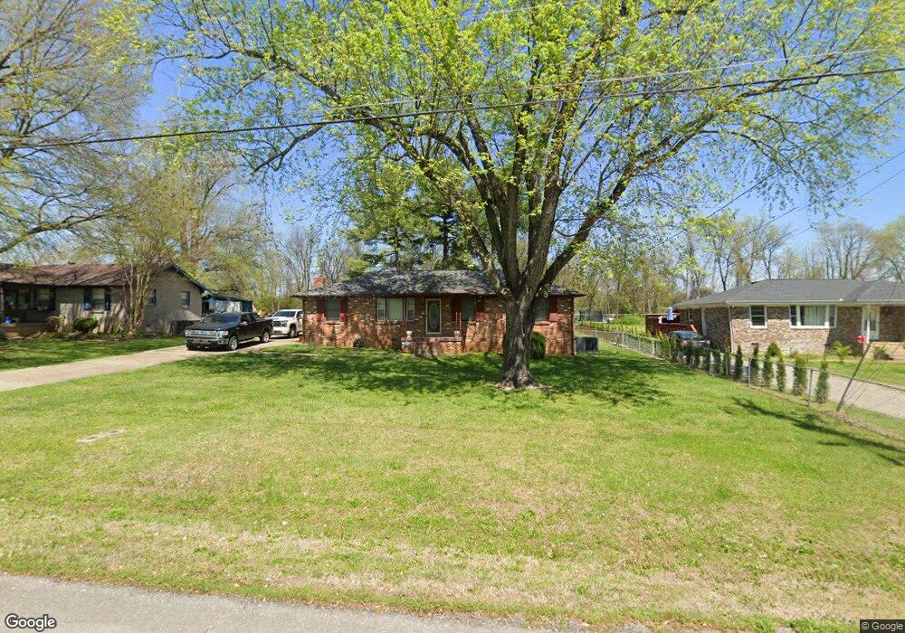
161 Parrish St La Vergne, TN 37086
Estimated Value: $244,163 - $341,000
--
Bed
1
Bath
1,325
Sq Ft
$233/Sq Ft
Est. Value
About This Home
This home is located at 161 Parrish St, La Vergne, TN 37086 and is currently estimated at $309,041, approximately $233 per square foot. 161 Parrish St is a home located in Rutherford County with nearby schools including Cedar Grove Elementary School, Rock Springs Middle School, and Lavergne High School.
Ownership History
Date
Name
Owned For
Owner Type
Purchase Details
Closed on
Feb 26, 2010
Sold by
Tucker Claybon
Bought by
Tucker Daniel C
Current Estimated Value
Home Financials for this Owner
Home Financials are based on the most recent Mortgage that was taken out on this home.
Original Mortgage
$73,600
Outstanding Balance
$48,756
Interest Rate
4.97%
Estimated Equity
$260,285
Purchase Details
Closed on
Dec 6, 2001
Sold by
Clements Ollie M
Bought by
Tucker and Daisy
Create a Home Valuation Report for This Property
The Home Valuation Report is an in-depth analysis detailing your home's value as well as a comparison with similar homes in the area
Home Values in the Area
Average Home Value in this Area
Purchase History
| Date | Buyer | Sale Price | Title Company |
|---|---|---|---|
| Tucker Daniel C | $92,000 | -- | |
| Tucker | $78,000 | -- |
Source: Public Records
Mortgage History
| Date | Status | Borrower | Loan Amount |
|---|---|---|---|
| Open | Tucker | $73,600 |
Source: Public Records
Tax History Compared to Growth
Tax History
| Year | Tax Paid | Tax Assessment Tax Assessment Total Assessment is a certain percentage of the fair market value that is determined by local assessors to be the total taxable value of land and additions on the property. | Land | Improvement |
|---|---|---|---|---|
| 2025 | $1,396 | $57,875 | $13,750 | $44,125 |
| 2024 | $1,396 | $57,875 | $13,750 | $44,125 |
| 2023 | $1,086 | $57,875 | $13,750 | $44,125 |
| 2022 | $935 | $57,875 | $13,750 | $44,125 |
| 2021 | $748 | $33,725 | $8,750 | $24,975 |
| 2020 | $748 | $33,725 | $8,750 | $24,975 |
| 2019 | $748 | $33,725 | $8,750 | $24,975 |
| 2018 | $947 | $33,725 | $0 | $0 |
| 2017 | $866 | $23,850 | $0 | $0 |
| 2016 | $866 | $23,850 | $0 | $0 |
| 2015 | $872 | $23,850 | $0 | $0 |
| 2014 | $593 | $23,850 | $0 | $0 |
| 2013 | -- | $24,850 | $0 | $0 |
Source: Public Records
Map
Nearby Homes
- 172 Parrish St
- 140 Parrish St
- 149 Alsup Ln
- 118 Markum Dr
- 1400 Bright Sky Ct
- 3038 Rg Buchanan Dr
- 4007 George Buchanan
- 4004 George Buchanan
- 122 Waldron Cir
- 401 Jefferson Pike
- 121 Highland St
- 1804 Mars St
- 286 Jefferson Pike
- 1820 Mars St
- 1705 Money St
- 930 Patty Cove
- 1704 George Thomas Dr
- 0 Hollandale Rd Unit RTC2696032
- 126 Gale Ln
- 124 Gale Ln