161 Port Side Lakemoor, IL 60051
East Lakemoor NeighborhoodEstimated Value: $65,000 - $130,000
--
Bed
--
Bath
--
Sq Ft
0.92
Acres
About This Home
This home is located at 161 Port Side, Lakemoor, IL 60051 and is currently estimated at $88,412. 161 Port Side is a home located in Lake County with nearby schools including Big Hollow Primary School, Big Hollow Elementary School, and Big Hollow Middle School.
Ownership History
Date
Name
Owned For
Owner Type
Purchase Details
Closed on
Mar 3, 1995
Sold by
Robinson Dale
Bought by
Eastmade Robert B and Eastmade Terri
Current Estimated Value
Purchase Details
Closed on
Dec 19, 1994
Sold by
Eastmade Robert B and Eastmade Terri
Bought by
Robertson Dale A
Home Financials for this Owner
Home Financials are based on the most recent Mortgage that was taken out on this home.
Original Mortgage
$9,600
Interest Rate
9.19%
Purchase Details
Closed on
Oct 17, 1994
Sold by
Elgin Federal Financial Center
Bought by
Eastmade Robert B and Eastmade Terri
Create a Home Valuation Report for This Property
The Home Valuation Report is an in-depth analysis detailing your home's value as well as a comparison with similar homes in the area
Home Values in the Area
Average Home Value in this Area
Purchase History
| Date | Buyer | Sale Price | Title Company |
|---|---|---|---|
| Eastmade Robert B | -- | -- | |
| Robertson Dale A | $12,000 | First Financial Title Co | |
| Eastmade Robert B | $5,500 | -- |
Source: Public Records
Mortgage History
| Date | Status | Borrower | Loan Amount |
|---|---|---|---|
| Previous Owner | Robertson Dale A | $9,600 |
Source: Public Records
Tax History Compared to Growth
Tax History
| Year | Tax Paid | Tax Assessment Tax Assessment Total Assessment is a certain percentage of the fair market value that is determined by local assessors to be the total taxable value of land and additions on the property. | Land | Improvement |
|---|---|---|---|---|
| 2024 | $277 | $3,193 | $2,516 | $677 |
| 2023 | $230 | $2,903 | $2,371 | $532 |
| 2022 | $230 | $2,407 | $1,860 | $547 |
| 2021 | $222 | $2,269 | $1,753 | $516 |
| 2020 | $223 | $2,237 | $1,728 | $509 |
| 2019 | $218 | $2,145 | $1,657 | $488 |
| 2018 | $279 | $2,616 | $2,140 | $476 |
| 2017 | $272 | $2,418 | $1,978 | $440 |
| 2016 | $273 | $2,211 | $1,809 | $402 |
| 2015 | $267 | $2,063 | $1,688 | $375 |
| 2014 | $236 | $1,903 | $1,545 | $358 |
| 2012 | $465 | $1,983 | $1,610 | $373 |
Source: Public Records
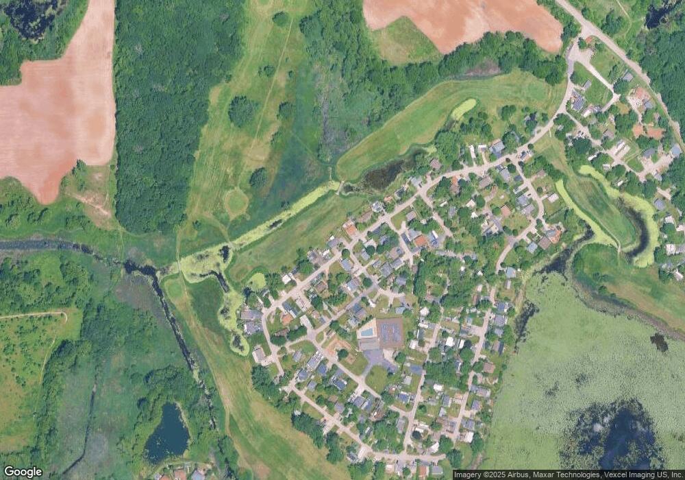
Map
Nearby Homes
- 182 Windward
- 4 Fishook Bay
- 27 Oyster Bay
- 723 Morris Ct Unit 7
- 676 Morris Ct
- 610 Wildwood Ln Unit 8066
- 336 Rosedale Dr
- 425 Northlake Rd
- 32022 Savannah Dr
- 32018 Savannah Dr
- 32403 N Mackinac Ln Unit 101
- 32016 Savannah Dr
- 32012 Savannah Dr
- 132 Rand Rd
- 0 Rand Rd
- 32006 W Savannah Dr
- 32060 Savannah Dr
- 32004 Savannah Dr
- 32111 N Great Plaines Ave
- 32108 N Rockwell Dr
- 160 Port Side
- 162 Port Side
- 163 Port Side
- 157 Port Side
- 225 Port Side
- 225 Captain Hook Cove
- 100 Port Side
- 158 Port Side
- 164 Port Side
- 156 Captain Hook Cove
- 227 Port Side
- 102 Neptune Cove
- 99 Port Side
- 224 Captain Hook Cove
- 223 Rusty Scupper
- 228 Port Side
- 155 Captain Hook Cove
- 103 Neptune Cove
- 166 Port Side
- 98 Port Side