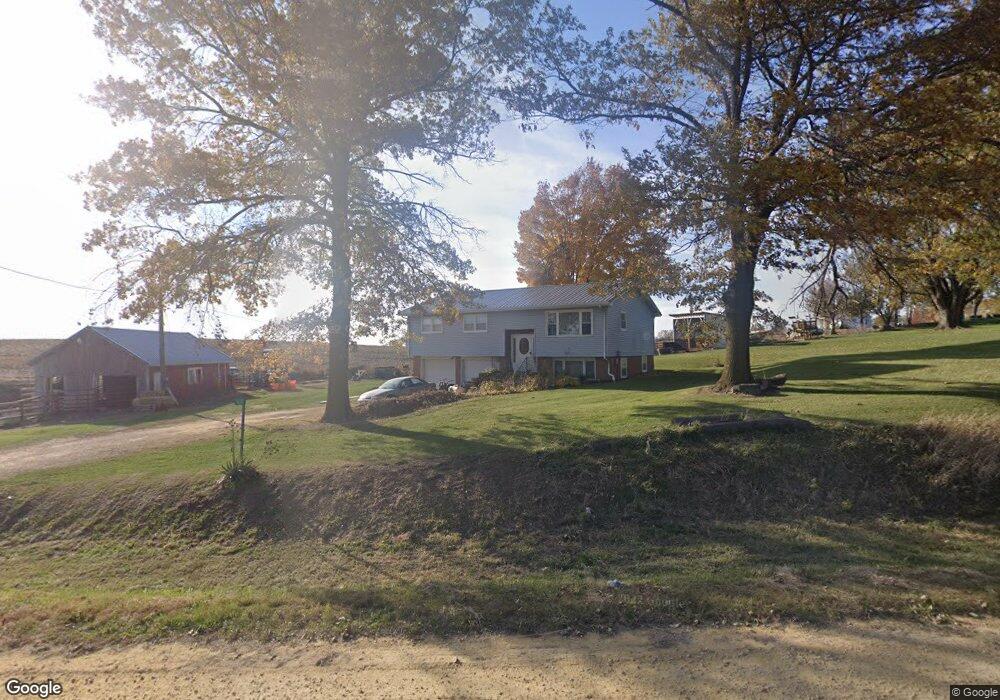
1610 390th Ave Bryant, IA 52727
Estimated Value: $165,000 - $216,000
3
Beds
2
Baths
1,132
Sq Ft
$170/Sq Ft
Est. Value
About This Home
This home is located at 1610 390th Ave, Bryant, IA 52727 and is currently estimated at $191,886, approximately $169 per square foot. 1610 390th Ave is a home located in Clinton County with nearby schools including Northeast Elementary School and Northeast Middle/High School.
Ownership History
Date
Name
Owned For
Owner Type
Purchase Details
Closed on
Jun 11, 2014
Sold by
Scott Dale L and Scott Carla M
Bought by
Swanton David K and Swanton Penny L
Current Estimated Value
Home Financials for this Owner
Home Financials are based on the most recent Mortgage that was taken out on this home.
Original Mortgage
$108,300
Outstanding Balance
$82,623
Interest Rate
4.28%
Mortgage Type
FHA
Estimated Equity
$109,263
Create a Home Valuation Report for This Property
The Home Valuation Report is an in-depth analysis detailing your home's value as well as a comparison with similar homes in the area
Home Values in the Area
Average Home Value in this Area
Purchase History
| Date | Buyer | Sale Price | Title Company |
|---|---|---|---|
| Swanton David K | $107,000 | None Available |
Source: Public Records
Mortgage History
| Date | Status | Borrower | Loan Amount |
|---|---|---|---|
| Open | Swanton David K | $108,300 |
Source: Public Records
Tax History Compared to Growth
Tax History
| Year | Tax Paid | Tax Assessment Tax Assessment Total Assessment is a certain percentage of the fair market value that is determined by local assessors to be the total taxable value of land and additions on the property. | Land | Improvement |
|---|---|---|---|---|
| 2025 | $1,980 | $165,560 | $37,950 | $127,610 |
| 2024 | $1,980 | $156,650 | $37,950 | $118,700 |
| 2023 | $1,956 | $156,650 | $37,950 | $118,700 |
| 2022 | $2,142 | $148,520 | $37,950 | $110,570 |
| 2021 | $2,134 | $143,460 | $18,860 | $124,600 |
| 2020 | $2,134 | $137,520 | $18,860 | $118,660 |
| 2019 | $2,146 | $137,520 | $0 | $0 |
| 2018 | $2,108 | $137,520 | $0 | $0 |
| 2017 | $2,108 | $115,800 | $0 | $0 |
| 2016 | $1,758 | $115,800 | $0 | $0 |
| 2015 | $1,758 | $106,150 | $0 | $0 |
| 2014 | $1,616 | $106,150 | $0 | $0 |
| 2013 | $1,590 | $0 | $0 | $0 |
Source: Public Records
Map
Nearby Homes
- 3983 120th St
- 1146 432nd Ave
- 4480 115th St
- 114 Broadway St
- 123 Broadway St
- 131 Broadway St
- 323 Lincoln St
- 4456 115th St
- 886 Riverstone Ct
- 4610 8th St NW
- 1650 468th Ave
- 401 S Mitchell St
- 917 Riverstone Rd
- 955 Riverstone Rd
- 919 Riverstone Rd
- 912 Riverstone Rd
- 921 Riverstone Rd
- 943 Riverstone Rd
- 910 Riverstone Rd
- 3903 Highway 136
- 3897 Highway 136
- 3895 Highway 136
- 3898 Highway 136
- 3896 Highway 136
- 3894 Highway 136
- 3912 Highway 136
- 3919 Highway 136
- 3892 Highway 136
- 1596 390th Ave
- 1619 390th Ave
- 3889 Highway 136
- 3879 Highway 136
- 3875 Highway 136
- 3885 Highway 136
- 3873 Highway 136
- 3923 Highway 136
- 3872 Highway 136
- 3925 Highway 136
- 3870 Highway 136