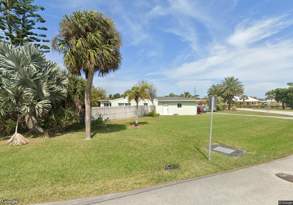
1610 Bayshore Dr Cocoa Beach, FL 32931
Estimated Value: $783,000 - $1,244,000
4
Beds
2
Baths
2,420
Sq Ft
$388/Sq Ft
Est. Value
About This Home
This home is located at 1610 Bayshore Dr, Cocoa Beach, FL 32931 and is currently estimated at $938,431, approximately $387 per square foot. 1610 Bayshore Dr is a home located in Brevard County with nearby schools including Theodore Roosevelt Elementary School, Cocoa Beach Junior/Senior High School, and Cocoa Beach Christian School.
Ownership History
Date
Name
Owned For
Owner Type
Purchase Details
Closed on
Jun 6, 2006
Sold by
Leslie Claude E and The Claude E & Gena K Leslie T
Bought by
Leslie Claude E and Leslie Warren H
Current Estimated Value
Purchase Details
Closed on
Oct 7, 2005
Sold by
Leslie Claude E
Bought by
Leslie Claude E and The Claude E & Gena K Leslie T
Purchase Details
Closed on
Nov 20, 2003
Sold by
Leslie Claude E and Leslie Gena K
Bought by
Leslie Claude E and Leslie Gena K
Create a Home Valuation Report for This Property
The Home Valuation Report is an in-depth analysis detailing your home's value as well as a comparison with similar homes in the area
Home Values in the Area
Average Home Value in this Area
Purchase History
| Date | Buyer | Sale Price | Title Company |
|---|---|---|---|
| Leslie Claude E | -- | Attorney | |
| Leslie Claude E | -- | -- | |
| Leslie Claude E | -- | -- | |
| Leslie Claude E | -- | -- |
Source: Public Records
Tax History
| Year | Tax Paid | Tax Assessment Tax Assessment Total Assessment is a certain percentage of the fair market value that is determined by local assessors to be the total taxable value of land and additions on the property. | Land | Improvement |
|---|---|---|---|---|
| 2025 | $4,097 | $340,460 | -- | -- |
| 2024 | $3,844 | $330,870 | -- | -- |
| 2023 | $3,844 | $304,330 | $0 | $0 |
| 2022 | $3,582 | $295,470 | $0 | $0 |
| 2021 | $3,680 | $286,870 | $0 | $0 |
| 2020 | $3,615 | $282,910 | $0 | $0 |
| 2019 | $3,568 | $276,550 | $0 | $0 |
| 2018 | $3,584 | $271,400 | $0 | $0 |
| 2017 | $3,629 | $265,820 | $0 | $0 |
| 2016 | $3,702 | $260,360 | $230,000 | $30,360 |
| 2015 | $3,819 | $258,560 | $200,000 | $58,560 |
| 2014 | $3,850 | $256,510 | $200,000 | $56,510 |
Source: Public Records
Map
Nearby Homes
- 1675 Bayshore Dr
- 2 River Falls Dr
- 24 Olive St
- 1790 Bayshore Dr
- 1800 S Orlando Ave Unit 1
- 1700 S Atlantic Ave Unit 104
- 2050 S Atlantic Ave
- 1375 Bayshore Dr
- 1527 S Atlantic Ave Unit 201
- 1563 S Atlantic Ave Unit 13
- 1515 S Atlantic Ave Unit 404
- 2001 Julep Dr Unit 206- 3rd Floor
- 1835 S Atlantic Ave Unit 301
- 2021 S Orlando Ave
- 1299 S Orlando Ave
- 2022 Julep Dr Unit 304
- 2022 Julep Dr Unit 105
- 1305 S Atlantic Ave Unit 110
- 1277 S Orlando Ave Unit 4B
- 1139 S Brevard Ave
- 1 W Point Dr
- 1 West Point Dr
- 2 West Point Dr
- 39 West Point Dr
- 41 West Point Dr
- 2 W Point Dr
- 1609 Bayshore Dr
- 41 W Point Dr
- 37 W Point Dr
- 37 West Point Dr
- 1617 Bayshore Dr
- 1680 Bayshore Dr
- 1680 Bay Shore Dr
- 36 West Point Dr
- 1549 Bayshore Dr
- 1550 Bayshore Dr
- 1649 Bayshore Dr
- 1702 Bayshore Dr
- 3 West Point Dr
- 35 W Point Dr
Your Personal Tour Guide
Ask me questions while you tour the home.