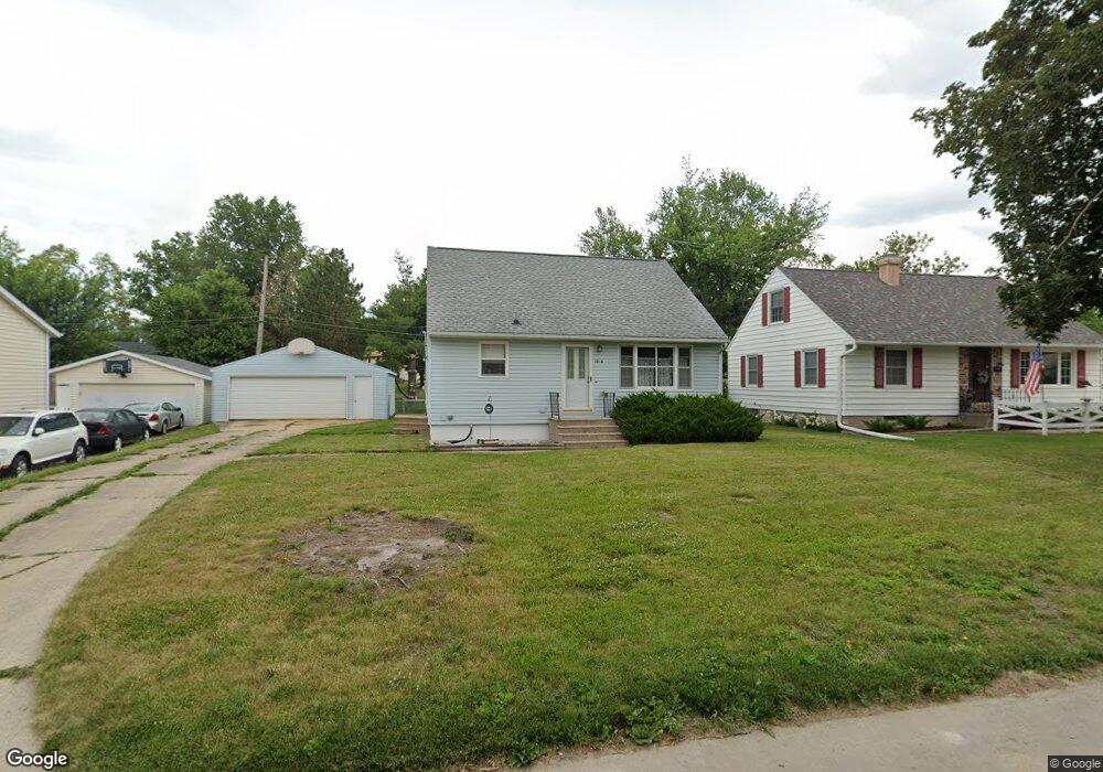
1610 James Dr Marion, IA 52302
Estimated Value: $152,000 - $213,000
3
Beds
1
Bath
1,218
Sq Ft
$150/Sq Ft
Est. Value
About This Home
This home is located at 1610 James Dr, Marion, IA 52302 and is currently estimated at $182,114, approximately $149 per square foot. 1610 James Dr is a home located in Linn County with nearby schools including Francis Marion Intermediate School, Vernon Middle School, and Marion High School.
Ownership History
Date
Name
Owned For
Owner Type
Purchase Details
Closed on
Nov 7, 2007
Sold by
Ocenosak Lois and Estate Of Richard Francis Ferr
Bought by
Ocenosak Lois
Current Estimated Value
Purchase Details
Closed on
Oct 29, 2004
Sold by
Molitor Joe G and Friedrichsen Connie
Bought by
Ocenosak Rodney D and Ocenosak Lois C
Home Financials for this Owner
Home Financials are based on the most recent Mortgage that was taken out on this home.
Original Mortgage
$105,930
Interest Rate
5.84%
Mortgage Type
Purchase Money Mortgage
Purchase Details
Closed on
Dec 17, 2003
Sold by
Molitor Geraldine
Bought by
Ocenosak Rodney D and Ocenosak Lois C
Home Financials for this Owner
Home Financials are based on the most recent Mortgage that was taken out on this home.
Original Mortgage
$80,000
Interest Rate
4%
Mortgage Type
Seller Take Back
Create a Home Valuation Report for This Property
The Home Valuation Report is an in-depth analysis detailing your home's value as well as a comparison with similar homes in the area
Home Values in the Area
Average Home Value in this Area
Purchase History
| Date | Buyer | Sale Price | Title Company |
|---|---|---|---|
| Ocenosak Lois | -- | None Available | |
| Ocenosak Rodney D | $79,500 | -- | |
| Ocenosak Rodney D | $80,000 | -- |
Source: Public Records
Mortgage History
| Date | Status | Borrower | Loan Amount |
|---|---|---|---|
| Previous Owner | Ocenosak Rodney D | $105,930 | |
| Previous Owner | Ocenosak Rodney D | $80,000 | |
| Closed | Ocenosak Rodney D | $11,770 |
Source: Public Records
Tax History Compared to Growth
Tax History
| Year | Tax Paid | Tax Assessment Tax Assessment Total Assessment is a certain percentage of the fair market value that is determined by local assessors to be the total taxable value of land and additions on the property. | Land | Improvement |
|---|---|---|---|---|
| 2025 | $2,690 | $175,800 | $20,200 | $155,600 |
| 2024 | $2,450 | $160,800 | $20,200 | $140,600 |
| 2023 | $2,450 | $160,800 | $20,200 | $140,600 |
| 2022 | $2,366 | $119,000 | $20,200 | $98,800 |
| 2021 | $2,286 | $119,000 | $20,200 | $98,800 |
| 2020 | $2,286 | $109,700 | $20,200 | $89,500 |
| 2019 | $2,138 | $103,400 | $20,200 | $83,200 |
| 2018 | $2,086 | $103,400 | $20,200 | $83,200 |
| 2017 | $2,082 | $100,700 | $20,200 | $80,500 |
| 2016 | $2,240 | $100,700 | $20,200 | $80,500 |
| 2015 | $2,046 | $100,700 | $20,200 | $80,500 |
| 2014 | $2,038 | $100,700 | $20,200 | $80,500 |
| 2013 | $1,956 | $100,700 | $20,200 | $80,500 |
Source: Public Records
Map
Nearby Homes
- 1600 James Dr
- 1670 James Dr
- 1630 James Dr
- 1700 James Dr
- 1760 Henderson Dr
- 1675 James Dr
- 1615 James Dr
- 1680 Henderson Dr
- 1580 James Dr
- 1575 James Dr
- 1605 17th Ave
- 1780 Henderson Dr
- 1625 17th Ave
- 1530 James Dr
- 1655 17th Ave
- 1460 English Blvd
- 1800 Henderson Dr
- 1590 Henderson Dr
- 1675 17th Ave
- 1525 17th Ave