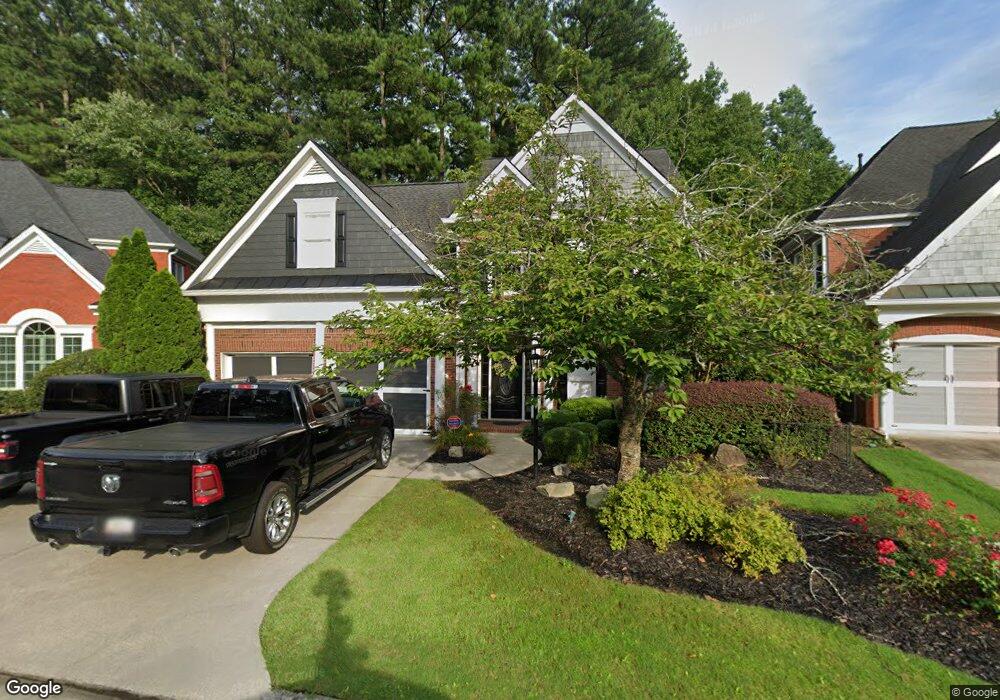
1610 Lightfoot Cir Marietta, GA 30062
Eastern Marietta NeighborhoodEstimated Value: $608,088 - $682,000
4
Beds
4
Baths
3,236
Sq Ft
$199/Sq Ft
Est. Value
About This Home
This home is located at 1610 Lightfoot Cir, Marietta, GA 30062 and is currently estimated at $642,772, approximately $198 per square foot. 1610 Lightfoot Cir is a home located in Cobb County with nearby schools including Sawyer Road Elementary School, Marietta Sixth Grade Academy, and Marietta Middle School.
Ownership History
Date
Name
Owned For
Owner Type
Purchase Details
Closed on
Aug 6, 2001
Sold by
Homes By Williamscraft Inc
Bought by
Raike Michael S and Raike Teresa S
Current Estimated Value
Home Financials for this Owner
Home Financials are based on the most recent Mortgage that was taken out on this home.
Original Mortgage
$247,900
Outstanding Balance
$95,881
Interest Rate
7.19%
Mortgage Type
New Conventional
Estimated Equity
$546,891
Create a Home Valuation Report for This Property
The Home Valuation Report is an in-depth analysis detailing your home's value as well as a comparison with similar homes in the area
Home Values in the Area
Average Home Value in this Area
Purchase History
| Date | Buyer | Sale Price | Title Company |
|---|---|---|---|
| Raike Michael S | $309,900 | -- |
Source: Public Records
Mortgage History
| Date | Status | Borrower | Loan Amount |
|---|---|---|---|
| Open | Raike Michael S | $247,900 |
Source: Public Records
Tax History Compared to Growth
Tax History
| Year | Tax Paid | Tax Assessment Tax Assessment Total Assessment is a certain percentage of the fair market value that is determined by local assessors to be the total taxable value of land and additions on the property. | Land | Improvement |
|---|---|---|---|---|
| 2025 | $1,061 | $228,932 | $40,000 | $188,932 |
| 2024 | $1,061 | $202,732 | $35,200 | $167,532 |
| 2023 | $909 | $202,732 | $35,200 | $167,532 |
| 2022 | $1,061 | $172,588 | $32,320 | $140,268 |
| 2021 | $1,080 | $143,988 | $32,320 | $111,668 |
| 2020 | $1,080 | $143,988 | $32,320 | $111,668 |
| 2019 | $1,080 | $147,472 | $40,400 | $107,072 |
| 2018 | $1,051 | $132,216 | $40,400 | $91,816 |
| 2017 | $843 | $132,216 | $40,400 | $91,816 |
| 2016 | $773 | $121,928 | $38,380 | $83,548 |
| 2015 | $843 | $121,928 | $38,380 | $83,548 |
| 2014 | $677 | $96,784 | $0 | $0 |
Source: Public Records
Map
Nearby Homes
- 1580 Reids Ferry Way
- 1900 Branch View Dr
- 1701 Smithwood Dr
- 1599 Cambridge Place
- 1582 Cambridge
- 1519 Evanston Ln
- 1833 Tree Top Ct
- 1822 Hasty Rd
- 2252 Carefree Cir Unit 3
- 1442 Glenover Cir
- 1511 Emerald Glen Dr
- 1800 Chardin Way
- 1972 Granite Mill Rd
- 1391 Brentwood Ln
- 1834 Butterfly NE
- 1834 Butterfly Way
- 1838 Butterfly NE
- 1854 Butterfly Way
- 0 Lightfoot Cir Unit 7073044
- 0 Lightfoot Cir Unit 8556012
- 0 Lightfoot Cir Unit 8026010
- 0 Lightfoot Cir Unit 8015860
- 1604 Lightfoot Cir
- 1616 Lightfoot Cir
- 1672 Tappahannock Trail
- 1622 Lightfoot Cir
- 1676 Tappahannock Trail
- 1668 Tappahannock Trail
- 1680 Tappahannock Trail
- 1664 Tappahannock Trail
- 1694 Lightfoot Cir
- 1628 Lightfoot Cir
- 1634 Lightfoot Cir
- 1660 Tappahannock Trail
- 1640 Lightfoot Cir
- 1688 Lightfoot Cir
- 1682 Lightfoot Cir
- 1656 Tappahannock Trail