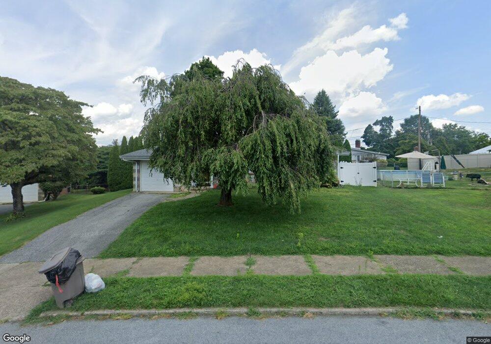
1610 Stanford Rd Bethlehem, PA 18018
West Bethlehem NeighborhoodEstimated Value: $340,828 - $368,000
2
Beds
2
Baths
1,369
Sq Ft
$259/Sq Ft
Est. Value
About This Home
This home is located at 1610 Stanford Rd, Bethlehem, PA 18018 and is currently estimated at $354,457, approximately $258 per square foot. 1610 Stanford Rd is a home located in Lehigh County with nearby schools including James Buchanan Elementary School, Nitschmann Middle School, and Liberty High School.
Ownership History
Date
Name
Owned For
Owner Type
Purchase Details
Closed on
Oct 12, 2020
Sold by
Wilson Kermit and Wilson Deborah A
Bought by
Sterner Todd Norman
Current Estimated Value
Home Financials for this Owner
Home Financials are based on the most recent Mortgage that was taken out on this home.
Original Mortgage
$220,000
Interest Rate
2.8%
Mortgage Type
VA
Purchase Details
Closed on
Oct 4, 2007
Sold by
Burns Albert L
Bought by
Wilson Kermit
Home Financials for this Owner
Home Financials are based on the most recent Mortgage that was taken out on this home.
Original Mortgage
$160,000
Interest Rate
6.49%
Mortgage Type
New Conventional
Purchase Details
Closed on
Nov 12, 1999
Sold by
Fritz Robert E and Fritz Erna L
Bought by
Burns Albert L and Burns Doris L
Create a Home Valuation Report for This Property
The Home Valuation Report is an in-depth analysis detailing your home's value as well as a comparison with similar homes in the area
Home Values in the Area
Average Home Value in this Area
Purchase History
| Date | Buyer | Sale Price | Title Company |
|---|---|---|---|
| Sterner Todd Norman | $220,000 | None Available | |
| Wilson Kermit | $215,000 | -- | |
| Burns Albert L | $120,000 | -- |
Source: Public Records
Mortgage History
| Date | Status | Borrower | Loan Amount |
|---|---|---|---|
| Previous Owner | Sterner Todd Norman | $220,000 | |
| Previous Owner | Wilson Kermit | $160,000 |
Source: Public Records
Tax History Compared to Growth
Tax History
| Year | Tax Paid | Tax Assessment Tax Assessment Total Assessment is a certain percentage of the fair market value that is determined by local assessors to be the total taxable value of land and additions on the property. | Land | Improvement |
|---|---|---|---|---|
| 2025 | -- | $183,600 | $38,500 | $145,100 |
| 2024 | -- | $183,600 | $38,500 | $145,100 |
| 2023 | $0 | $183,600 | $38,500 | $145,100 |
| 2022 | $5,253 | $183,600 | $145,100 | $38,500 |
| 2021 | $5,229 | $183,600 | $38,500 | $145,100 |
| 2020 | $5,062 | $183,600 | $38,500 | $145,100 |
| 2019 | $5,099 | $183,600 | $38,500 | $145,100 |
| 2018 | $4,999 | $183,600 | $38,500 | $145,100 |
| 2017 | $4,777 | $183,600 | $38,500 | $145,100 |
| 2016 | -- | $183,600 | $38,500 | $145,100 |
| 2015 | -- | $183,600 | $38,500 | $145,100 |
| 2014 | -- | $183,600 | $38,500 | $145,100 |
Source: Public Records
Map
Nearby Homes
- 1541 Stanford Rd
- 1011 Highland Ave
- 1440 Greenview Dr
- 1559 Kelchner Rd
- 922 Beverly Ave
- 1309 Greenview Dr
- 1768 W Union Blvd
- 1918 Pinehurst Rd
- 1336 Greenview Dr
- 1209 Manchester Rd
- 1334 W Union Blvd
- 650 Highland Ave
- 1556 Bayberry Ln
- 1247 Birchwood Dr
- 1198 Pennsylvania Ave
- 1853 Richmond Ave
- 1512 W Broad St
- 2180 Pinehurst Rd
- 635 11th Ave
- 1305 Statten Ave