1610 W Us Highway 30 Sugar Grove, IL 60554
Estimated Value: $277,612 - $553,000
--
Bed
--
Bath
--
Sq Ft
0.53
Acres
About This Home
This home is located at 1610 W Us Highway 30, Sugar Grove, IL 60554 and is currently estimated at $359,153. 1610 W Us Highway 30 is a home with nearby schools including Kaneland Mcdole Elementary School, Harter Middle School, and Kaneland Senior High School.
Ownership History
Date
Name
Owned For
Owner Type
Purchase Details
Closed on
Sep 6, 2016
Sold by
Abel Joanne M
Bought by
Bonner Patricia L
Current Estimated Value
Home Financials for this Owner
Home Financials are based on the most recent Mortgage that was taken out on this home.
Original Mortgage
$92,000
Outstanding Balance
$41,396
Interest Rate
2.75%
Mortgage Type
New Conventional
Estimated Equity
$317,757
Purchase Details
Closed on
May 9, 2014
Sold by
Abel Joanne M and Cozad Robert Troy
Bought by
The People Of The State Of Illinois Depa
Purchase Details
Closed on
Oct 3, 2005
Sold by
Dimonte Ronald J
Bought by
Abel Joanne M and Cozad Robert Troy
Home Financials for this Owner
Home Financials are based on the most recent Mortgage that was taken out on this home.
Original Mortgage
$145,350
Interest Rate
5.82%
Mortgage Type
Fannie Mae Freddie Mac
Create a Home Valuation Report for This Property
The Home Valuation Report is an in-depth analysis detailing your home's value as well as a comparison with similar homes in the area
Home Values in the Area
Average Home Value in this Area
Purchase History
| Date | Buyer | Sale Price | Title Company |
|---|---|---|---|
| Bonner Patricia L | $115,000 | First American Title | |
| The People Of The State Of Illinois Depa | $12,200 | Wheatland Title Guaranty | |
| Abel Joanne M | $171,000 | -- |
Source: Public Records
Mortgage History
| Date | Status | Borrower | Loan Amount |
|---|---|---|---|
| Open | Bonner Patricia L | $92,000 | |
| Previous Owner | Abel Joanne M | $145,350 |
Source: Public Records
Tax History Compared to Growth
Tax History
| Year | Tax Paid | Tax Assessment Tax Assessment Total Assessment is a certain percentage of the fair market value that is determined by local assessors to be the total taxable value of land and additions on the property. | Land | Improvement |
|---|---|---|---|---|
| 2024 | $4,845 | $64,898 | $13,902 | $50,996 |
| 2023 | $4,645 | $58,530 | $12,538 | $45,992 |
| 2022 | $4,543 | $54,034 | $11,575 | $42,459 |
| 2021 | $4,364 | $51,421 | $11,015 | $40,406 |
| 2020 | $3,659 | $43,731 | $10,780 | $32,951 |
| 2019 | $3,590 | $42,302 | $10,428 | $31,874 |
| 2018 | $3,838 | $43,869 | $21,561 | $22,308 |
| 2017 | $3,704 | $41,896 | $20,591 | $21,305 |
| 2016 | $4,231 | $40,050 | $19,684 | $20,366 |
| 2015 | -- | $37,263 | $18,314 | $18,949 |
Source: Public Records
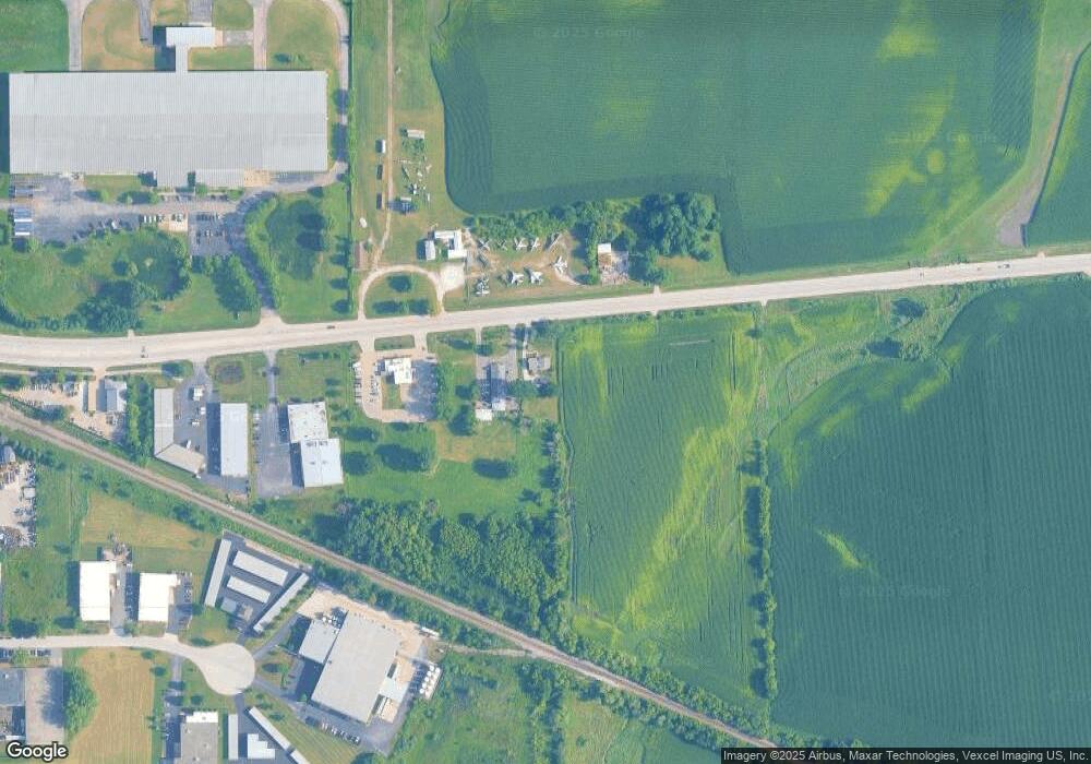
Map
Nearby Homes
- 1650 Highway 30
- 126 S Sugar Grove Pkwy
- 240 Snow St
- 226 W Park Ave Unit A
- 191 Meadows Dr
- 193 W Park Ave Unit A
- 199 Vale Ave Unit 1
- 124 W Park Ave Unit D
- 92 Maple St
- 45W127 Jericho Rd
- 110 S Sugar Grove Pkwy
- 73 Neil Rd
- 123 Terry Dr
- 391 Capitol Dr
- 389 Mallard Ln
- 369 Mallard Ln
- 206 Brompton Ln Unit A
- 174 Brompton Ln Unit A
- 230 St James Pkwy Unit A
- 42W490 Kedeka Rd
- 1942 W Us Highway 30
- 1942 U S 30
- 1970 U S 30
- 1970 U S 30
- 1970 U S 30
- 1970 W Us Highway 30 Unit 4
- 1970 W Us Highway 30 Unit 3
- 1970 W Us Highway 30
- 1960 Bucktail Ln
- 1990 U S 30
- Lot 13 Bucktail Ln
- 1986 Bucktail Ln
- 1999 Bucktail Ln
- 95 S Dugan Rd
- 1919 Annettes Cir
- 1923 Annettes Cir
- Lot 5 Dugan Rd
- 1925 Annettes Cir
- 1917 Annettes Cir
- 1927 Annettes Cir