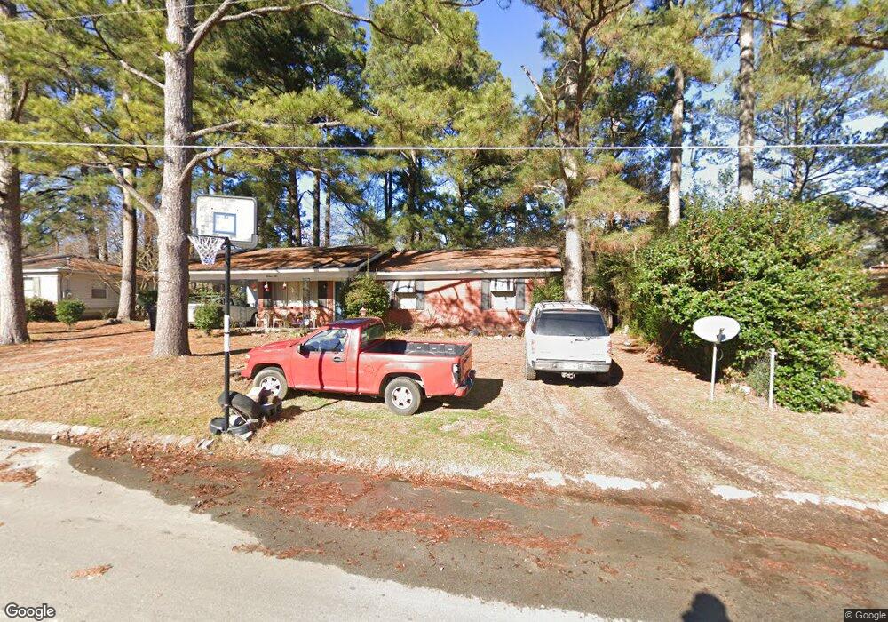
1610 Whitlock Dr Benton, AR 72015
Estimated Value: $154,000 - $167,109
Studio
2
Baths
1,288
Sq Ft
$124/Sq Ft
Est. Value
About This Home
This home is located at 1610 Whitlock Dr, Benton, AR 72015 and is currently estimated at $159,527, approximately $123 per square foot. 1610 Whitlock Dr is a home located in Saline County with nearby schools including Angie Grant Elementary School, Benton Middle School, and Benton Junior High School.
Ownership History
Date
Name
Owned For
Owner Type
Purchase Details
Closed on
Aug 12, 2016
Sold by
Spencer Patricia Tidd
Bought by
Spencer Patricia Tidd and Jeffery Serenity D
Current Estimated Value
Purchase Details
Closed on
Mar 14, 2016
Sold by
Petty Richard K and Petty Karen
Bought by
Spencer Patricia Tidd
Home Financials for this Owner
Home Financials are based on the most recent Mortgage that was taken out on this home.
Original Mortgage
$85,914
Outstanding Balance
$68,759
Interest Rate
3.99%
Mortgage Type
FHA
Estimated Equity
$90,768
Purchase Details
Closed on
Mar 17, 2008
Sold by
Petty Charles K and Petty Martha Sue
Bought by
Petty Richard K
Home Financials for this Owner
Home Financials are based on the most recent Mortgage that was taken out on this home.
Original Mortgage
$60,000
Interest Rate
5.72%
Mortgage Type
New Conventional
Create a Home Valuation Report for This Property
The Home Valuation Report is an in-depth analysis detailing your home's value as well as a comparison with similar homes in the area
Home Values in the Area
Average Home Value in this Area
Purchase History
| Date | Buyer | Sale Price | Title Company |
|---|---|---|---|
| Spencer Patricia Tidd | -- | None Available | |
| Spencer Patricia Tidd | $87,500 | Pulaski County Title | |
| Petty Richard K | $75,000 | None Available |
Source: Public Records
Mortgage History
| Date | Status | Borrower | Loan Amount |
|---|---|---|---|
| Open | Spencer Patricia Tidd | $85,914 | |
| Previous Owner | Petty Richard K | $60,000 |
Source: Public Records
Tax History
| Year | Tax Paid | Tax Assessment Tax Assessment Total Assessment is a certain percentage of the fair market value that is determined by local assessors to be the total taxable value of land and additions on the property. | Land | Improvement |
|---|---|---|---|---|
| 2025 | $1,142 | $22,527 | $4,400 | $18,127 |
| 2024 | $1,169 | $22,527 | $4,400 | $18,127 |
| 2023 | $667 | $22,527 | $4,400 | $18,127 |
| 2022 | $668 | $22,527 | $4,400 | $18,127 |
| 2021 | $618 | $17,920 | $3,400 | $14,520 |
| 2020 | $618 | $17,920 | $3,400 | $14,520 |
| 2019 | $618 | $17,920 | $3,400 | $14,520 |
| 2018 | $641 | $17,920 | $3,400 | $14,520 |
| 2017 | $991 | $17,920 | $3,400 | $14,520 |
| 2016 | $925 | $16,310 | $3,400 | $12,910 |
| 2015 | $915 | $16,310 | $3,400 | $12,910 |
| 2014 | $565 | $16,310 | $3,400 | $12,910 |
Source: Public Records
Map
Nearby Homes
- 1604 Whitlock Dr
- 602 Newcomb Dr
- 606 Newcomb Dr
- 1600 Whitlock Dr
- 610 Newcomb Dr
- 1621 Whitlock Dr
- 1603 Whitlock Dr
- 618 Newcomb Cir
- 616 Newcomb Cir
- 1524 Whitlock Dr
- 601 Newcomb Dr
- 614 Newcomb Dr
- 603 Newcomb Dr
- 514 Newcomb Dr
- 1523 Whitlock Dr
- 607 Newcomb Dr
- 1522 Whitlock Dr
- 620 Newcomb Cir
- 521 Newcomb Dr
- 609 Newcomb Dr
Your Personal Tour Guide
Ask me questions while you tour the home.